Kiko Trail
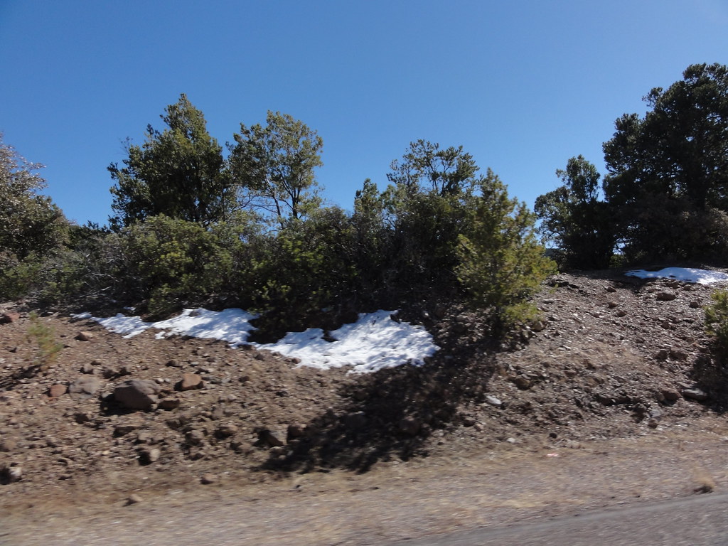
 Photo: chief_huddleston, CC BY 2.0 (via Flickr)
- 1.8 mi
- round trip
- 1,350 ft
- climb
- 3,958 ft
- high point
- Out and back
- route
- Oct–Apr
- best months
Kiko Trail is a 3.5-mile out-and-back hike in Arizona, about 0.7 miles from the community of East Plantsite. The route rises from a starting point of about 3,739 feet to a high of 3,958 feet, with a total elevation gain of 425 feet. The steepest stretch comes at about mile 1, where the grade reaches 51 percent. Spring and fall are the most comfortable times to go. Typical averages from a nearby weather station in Clifton show April highs around 81°F and October highs around 83°F, while June and July average about 100°F. Pleasant Valley and Hickey Springs are both within about 3 miles. Owl Creek Campground and the Gila River Boat Put-In sit roughly 5 miles away.
- Pleasant ValleyHiking2.8 mi
- Hickey SpringsHiking3.3 mi
- Owl Creek TrailHiking5.1 mi
- Owl Creek CampgroundCamping5.1 mi
- Gila River Boat Put-InRiver fishing5.2 mi
- SILVER TRAILHiking7.3 mi
- WoodsHiking8.1 mi
- BrushyHiking8.5 mi
Source: Roamze catalog (indexable pages within 10 miles, PostGIS distance)
 Black JackHiking · ~23 min drivePhoto: ossguy, CC BY-SA 2.0 (via Flickr)
- Blackjack Spur Trail (568A)Hiking · ~24 min drivePhoto: ossguy, CC BY-SA 2.0 (via Flickr)
- BrushyHiking · ~15 min drive
- Spur Cross Trail 8Hiking · ~19 min drive
- Pleasant ValleyHiking · ~5 min drive
- Owl Creek TrailHiking · ~9 min drive
- SardineHiking · ~17 min drive
- Hickey SpringsHiking · ~6 min drive
- SILVER TRAILHiking · ~12 min drive
- Grand Enchantment Trail Alternative 15Hiking · ~19 min drive
Best time to visit Kiko Trail
Best months: October–April. Best months have typical highs of 55–85 °F, lows of 30 °F or warmer (32 °F where the station doesn't record snow), at most one snowy day and no more than 12 wet days.
Jan
61° / 35°
4 wet
Feb
66° / 39°
4 wet
Mar
73° / 45°
4 wet
Apr
81° / 51°
2 wet
May
90° / 59°
2 wet
Jun
100° / 69°
3 wet
Jul
100° / 74°
8 wet
Aug
98° / 72°
10 wet
Sep
93° / 66°
6 wet
Oct
83° / 55°
4 wet
Nov
70° / 42°
4 wet
Dec
60° / 35°
4 wet
Typical high / low (°F) and days with rain or snow, 1991–2020. Measured at Clifton, AZ, 1.1 mi away at 3,520 ft. Source: NOAA NCEI U.S. Climate Normals 1991–2020.
Map and trail data © OpenStreetMap contributors
