Brushy
- 3.6 mi
- round trip
- 123 ft
- climb
- 5,926 ft
- high point
- Out and back
- route
- Apr–May, Sep–Oct
- best months
Is Brushy open right now?
Closure in the area
There's a closure order in Apache-Sitgreaves National Forests. It doesn't name Brushy, so check the source for the area it covers (2 listed).
Temporary Emergency Closure
Agency closure covering Apache-Sitgreaves National Forests · Order 03-01-26-004 · USFS · Apache-Sitgreaves National Forests
Benny Creek Campground/Southfork Day Use Area Closure Order - Springerville Ranger District
Agency closure covering Apache-Sitgreaves National Forests · Order 03-01-25-06-004 · USFS · Apache-Sitgreaves National Forests
Forest Road Conditions Alert
Agency alert covering Apache-Sitgreaves National Forests · USFS · Apache-Sitgreaves National Forests
No Fire Restrictions
Agency alert covering Apache-Sitgreaves National Forests · USFS · Apache-Sitgreaves National Forests
As of · Source: USFS · Apache-Sitgreaves National Forests. Agencies don't list every closure — check before you go.
Brushy is a moderate hike of about 3.6 miles on natural trail in the Clifton Ranger District of the Apache-Sitgreaves National Forests in eastern Arizona. The route is an out-and-back that starts at a low point of about 5,204 feet and reaches a high point of about 5,926 feet, with a total elevation gain of about 123 feet. Spring and fall are the most comfortable times to go. Typical averages from the Glenwood, NM weather station, about 23 miles away, show April highs near 74°F and October highs near 76°F, while July and August highs average around 91°F with about 10 wet days each month. The trail is open to bikes and horses and is not accessible. Coal Creek Campground sits about 7.5 miles away. Silver Trail is about 1.2 miles off, Badger Trail about 5 miles, and Hickey Springs about 5.8 miles.
Best time to go · Apr–May, Sep–Oct
Best time to visit Brushy
Best months: April–May and September–October. Best months have typical highs of 55–85 °F, lows of 30 °F or warmer (32 °F where the station doesn't record snow), at most one snowy day and no more than 12 wet days.
Jan
57° / 23°
4 wet
Feb
61° / 26°
4 wet
Mar
67° / 30°
4 wet
Apr
74° / 34°
2 wet
May
82° / 41°
2 wet
Jun
91° / 50°
3 wet
Jul
91° / 58°
10 wet
Aug
89° / 57°
10 wet
Sep
85° / 50°
6 wet
Oct
76° / 39°
3 wet
Nov
65° / 29°
3 wet
Dec
57° / 23°
4 wet
Typical high / low (°F) and days with rain or snow, 1991–2020. Measured at Glenwood, NM, 23.2 mi away at 4,725 ft. The station sits about 1,200 ft lower than this place, so expect it a little cooler here. This station doesn't record snowfall. Source: NOAA NCEI U.S. Climate Normals 1991–2020.
Keep exploring — more trails worth the drive
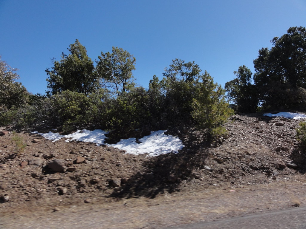 Photo: ossguy, CC BY-SA 2.0 (via Flickr)
Black Jack
~12 min drive
6.70-mile out-and-back trail in Arizona with 1,277 ft elevation gain.
Photo: ossguy, CC BY-SA 2.0 (via Flickr)Blackjack Spur Trail (568A)
~13 min drive
0.72-mile out-and-back trail in Arizona with 189 ft of elevation gain.
 Photo: chief_huddleston, CC BY 2.0 (via Flickr)
Kiko Trail
~15 min drive
4.88-mile out-and-back hike in Arizona with 1,350 ft elevation gain
HIKE
Spur Cross Trail 8
~22 min drive
11.22-mile out-and-back trail in Arizona with 4,853 ft gain and 6,986 ft max elevation.
HIKE
Hickey Springs
~10 min drive
19.57-mile out-and-back trail in Arizona with 1,683 ft of elevation gain.
HIKE
SILVER TRAIL
~2 min drive
1.02-mile out-and-back trail in Arizona with 152 ft elevation gain.
HIKE
Hog Canyon
~17 min drive
3.38-mile out-and-back trail in Arizona with 42 ft of elevation gain.
HIKE
Horse Canyon Trail #36
~26 min drive
12.8-mile out-and-back hike in Arizona with 4,589 ft elevation gain and loss.
HIKE
Woods
~11 min drive
17.80-mile out-and-back trail in Arizona with 1,155 ft elevation gain.
HIKE
Badger Trail
~9 min drive
1.08-mile out-and-back hike in Arizona with 281 ft elevation gain.
