Badger Trail
- 0.5 mi
- round trip
- 281 ft
- climb
- 5,231 ft
- high point
- Out and back
- route
- Apr–May, Sep–Oct
- best months
Badger Trail is an easy out-and-back hike in Arizona, about half a mile long, with a round-trip elevation gain of about 280 feet. The trail starts at the high point, 5,231 feet, and the climb is back-loaded, with the steepest stretch right at the start, about 17%, before the route flattens out and descends back to 5,073 feet. That makes it a short, low-effort outing, well suited to a break before or after exploring the surrounding area. Spring and fall are the most comfortable times to go. Typical averages from the Glenwood, New Mexico, weather station, about 23 miles away, show April highs around 74°F and October highs around 76°F. July and August bring highs near 91°F and more frequent wet days. The trail makes a convenient anchor for a day of hiking in the region. Black Jack is about 2.4 miles away, Blackjack Spur Trail (568A) is about 2.8 miles away, and Coal Creek Campground, roughly 4.7 miles off, offers a place to stay. Hickey Springs, about 9.5 miles away, is another option.
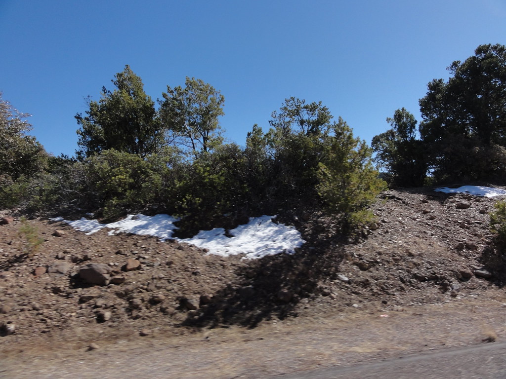 Black JackHikingPhoto: ossguy, CC BY-SA 2.0 (via Flickr)2.4 mi
- Blackjack Spur Trail (568A)HikingPhoto: ossguy, CC BY-SA 2.0 (via Flickr)2.8 mi
- Coal Creek CgCamping4.7 mi
- BrushyHiking5.1 mi
- SILVER TRAILHiking5.5 mi
- Hickey SpringsHiking9.5 mi
- Pleasant ValleyHiking9.8 mi
Source: Roamze catalog (indexable pages within 10 miles, PostGIS distance)
- Black JackHiking · ~4 min drivePhoto: ossguy, CC BY-SA 2.0 (via Flickr)
- Blackjack Spur Trail (568A)Hiking · ~5 min drivePhoto: ossguy, CC BY-SA 2.0 (via Flickr)
 Kiko TrailHiking · ~19 min drivePhoto: chief_huddleston, CC BY 2.0 (via Flickr)
- Spur Cross Trail 8Hiking · ~31 min drive
- Hickey SpringsHiking · ~16 min drive
- SILVER TRAILHiking · ~9 min drive
- BrushyHiking · ~9 min drive
- Horse Canyon Trail #36Hiking · ~32 min drive
- Pleasant ValleyHiking · ~17 min drive
- Blowout TrailHiking · ~21 min drive
Best time to visit Badger Trail
Best months: April–May and September–October. Best months have typical highs of 55–85 °F, lows of 30 °F or warmer (32 °F where the station doesn't record snow), at most one snowy day and no more than 12 wet days.
Jan
57° / 23°
4 wet
Feb
61° / 26°
4 wet
Mar
67° / 30°
4 wet
Apr
74° / 34°
2 wet
May
82° / 41°
2 wet
Jun
91° / 50°
3 wet
Jul
91° / 58°
10 wet
Aug
89° / 57°
10 wet
Sep
85° / 50°
6 wet
Oct
76° / 39°
3 wet
Nov
65° / 29°
3 wet
Dec
57° / 23°
4 wet
Typical high / low (°F) and days with rain or snow, 1991–2020. Measured at Glenwood, NM, 23 mi away at 4,725 ft. The station sits about 500 ft lower than this place, so expect it a little cooler here. This station doesn't record snowfall. Source: NOAA NCEI U.S. Climate Normals 1991–2020.
Map and trail data © OpenStreetMap contributors
