

Patagonia RV Park
Hiking business nearby (~49 mi away) — hasn't claimed their Roamze page yet
Free — you'll pick up right here.
Watch this trail
Sign up to watch it — saving subscribes you to gate, closure and report changes.
Arizona
0.8 mi
Distance
256 ft
Gain
23 min
Time
An agency closure order is in effect for this area; weather is good
2 factors · 2 sources
Newest 15 h ago · oldest 16 d
problem: Agency alerts
14 active alerts in Santa Catalina Ranger District; most severe: Marshall Gulch Closure Order
USFS16 d ago
clear: Weather
Clouds, high 78°F / low 76°F, 0% precip — 98/100 for hike
OpenWeather15 h ago
Been out here in the last few days? One report keeps this current for everyone.
Why you'll love it
Lower Tanque Verde Falls
AI-suggested draft · review before you go
No permit or access details on file for this trail — check with the local land manager before you go.
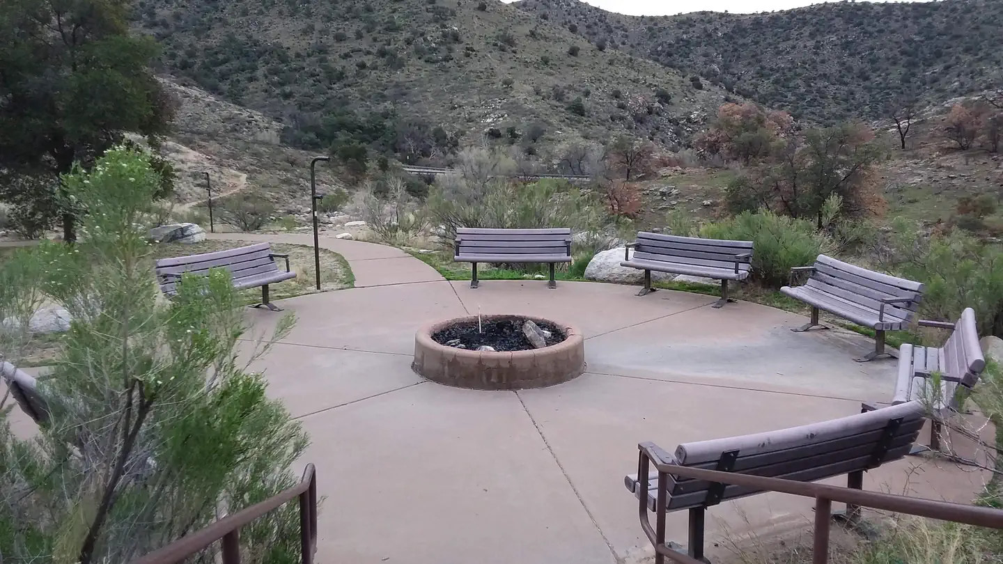
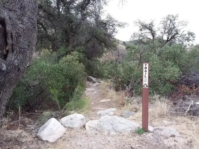
Lower Tanque Verde Falls is a short out-and-back trail located in Arizona, covering 0.8 miles with 256 feet of elevation gain. This easily accessible hike makes it an ideal option for visitors seeking a quick outdoor excursion without requiring extensive time or fitness preparation. The trail leads to a waterfall destination, providing scenic payoff for minimal distance traveled. The modest elevation gain of 256 feet is distributed across less than a mile, resulting in a manageable grade suitable for a wide range of hiking abilities. The out-and-back format means you'll retrace your steps on the return journey, allowing for a straightforward route without navigation complications. This trail offers a convenient option for those exploring the Arizona region who want to experience a waterfall hike in a compressed timeframe. The combination of short distance and moderate elevation change makes it accessible for families, casual hikers, and those looking to fit a nature walk into a busy schedule. Lower Tanque Verde Falls provides an efficient way to enjoy Arizona's natural landscape.
South Tanque Verde Rim
~0 min drive
1.9 mi · Easy
Wildhorse Trail
~5 min drive
Easy 0.30-mile out-and-back desert hike in Arizona.
Agua Caliente Hill
~5 min drive
8.9 mi · Hard
Carrillo Trail
~6 min drive
6.4 mi · Moderate
Douglas Spring Trail
~3 min drive
4.9 mi · Easy
Tanque Verde Ridge Trail
~7 min drive
Challenging ridge climb with sweeping desert and mountain views near Tucson.
Milagrosa
~8 min drive
7.5 mi · Hard
Italian Spring Trail #95
~10 min drive
9.3 mi · Moderate
Three Tank Trail
~4 min drive
4.3 mi · Easy
Mica View Trail
~8 min drive
Short out-and-back desert hike with scenic views near Mica.
Local operatorsoffering guided trips. You book directly with them — Roamze doesn’t take a cut.
Patagonia RV Park
Hiking business nearby (~49 mi away) — hasn't claimed their Roamze page yet