Loading…

Free — you'll pick up right here.
Watch this trail
Sign up to watch it — saving subscribes you to gate, closure and report changes.
Arizona
8.9 mi
Distance
2,459 ft
Gain
4h 13m
Time
We won't guess. Here is exactly what we do and don't know.
What we do know
Inside Coronado National Forest
2 managing-area boundaries mapped — agency alerts for them feed this page automatically.
Boundary data
What's missing
No access route mapped
We don't yet know which road reaches this trailhead, so we can't tell you if it's gated.
Nobody's filed a report here yet — be the first.
Why you'll love it
Agua Caliente Hill
AI-suggested draft · review before you go
No permit or access details on file for this trail — check with the local land manager before you go.
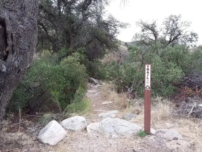
Agua Caliente Hill is an 8.9-mile out-and-back trail located in Arizona. The route features 2,459 feet of elevation gain, making it a moderately challenging hike that rewards effort with significant views and varied terrain. The out-and-back format allows hikers to turn around at any point, providing flexibility for different fitness levels and time constraints. The trail's elevation gain is distributed throughout the route, creating a steady climb toward Agua Caliente Hill. Hikers should plan accordingly for the ascent and budget time for the return descent. The 8.9-mile total distance means roughly 4.5 miles to the turnaround point, though the actual summit may be shorter or longer depending on where hikers choose to conclude their hike. This trail is suitable for hikers with moderate experience and reasonable cardiovascular fitness. Proper preparation including adequate water, sun protection, and sturdy footwear is recommended given the elevation gain and Arizona terrain. The out-and-back structure makes it an accessible option for those seeking a substantial hiking experience without requiring a shuttle or loop navigation.
Milagrosa
~3 min drive
7.5 mi · Hard
Babad Do'ag
~4 min drive
4.9 mi · Easy
Carrillo Trail
~7 min drive
6.4 mi · Moderate
Mica View Picnic Area (East District)
~8 min drive
This is a great place to take some shorter hikes and enjoy covered picnic areas. There is a large, family-friendly and accessible picnic shelter near the parking lot. There is an ADA accessible trail starting from this area called the Mica View Trail. Additionally, this picnic…
Phoneline
~11 min drive
8.2 mi · Hard
South Tanque Verde Rim
~5 min drive
1.9 mi · Easy
Soldier
~7 min drive
5.0 mi · Moderate
Bellota Trail #15
~8 min drive
A 10.57-mile out-and-back trail in Arizona that connects to the Arizona National Scenic Trail system.
Bear Canyon
~12 min drive
13 mi · Hard
Garwood Trail
~7 min drive
2.9 mi · Easy
Also worth it near here