

Patagonia RV Park
Hiking business nearby (~47 mi away) — hasn't claimed their Roamze page yet
Free — you'll pick up right here.
Watch this trail
Sign up to watch it — saving subscribes you to gate, closure and report changes.
Arizona
6.4 mi
Distance
624 ft
Gain
2h 27m
Time
We won't guess. Here is exactly what we do and don't know.
What we do know
Inside Saguaro National Park
2 managing-area boundaries mapped — agency alerts for them feed this page automatically.
Boundary data
What's missing
No access route mapped
We don't yet know which road reaches this trailhead, so we can't tell you if it's gated.
Nobody's filed a report here yet — be the first.
Why you'll love it
Carrillo Trail
AI-suggested draft · review before you go
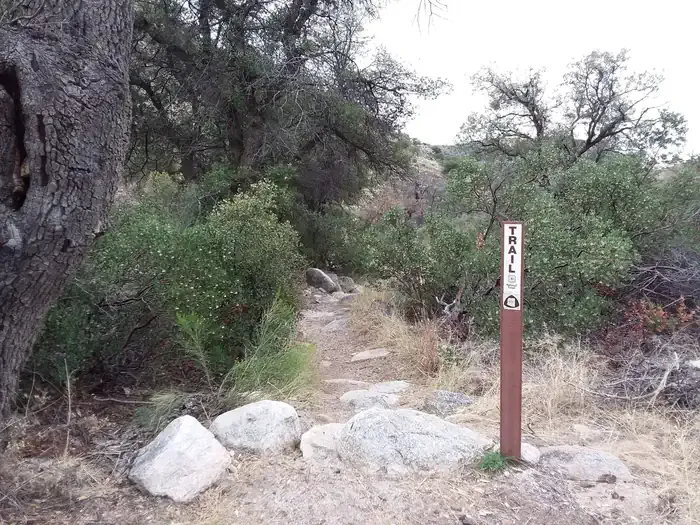
Carrillo Trail is a 6.4-mile out-and-back hike located in Saguaro National Park near Arizona. The trail features 624 feet of elevation gain, making it a moderate option for hikers of varying ability levels. This trail, managed by Saguaro National Park, takes you through the distinctive Sonoran Desert landscape characteristic of the region. The out-and-back format allows hikers to choose their own turnaround point, making it accessible for different fitness levels and time constraints. The elevation gain is distributed across the route, providing steady climbing without extreme steepness. Hikers can expect typical desert terrain and vegetation found within the park boundaries. Before heading out, check with Saguaro National Park for current trail conditions, water availability, and any seasonal considerations. The Sonoran Desert environment means weather can change, and sun exposure is significant, so plan accordingly with adequate water and sun protection. The park may have entrance fees and specific rules, so verify details with the managing agency prior to your visit.
Garwood Trail
~1 min drive
2.9 mi · Easy
Wildhorse Trail
~2 min drive
Easy 0.30-mile out-and-back desert hike in Arizona.
Agua Caliente Hill
~7 min drive
8.9 mi · Hard
Soldier
~14 min drive
5.0 mi · Moderate
Three Tank Trail
~2 min drive
4.3 mi · Easy
Mica View Trail
~2 min drive
Short out-and-back desert hike with scenic views near Mica.
Milagrosa
~10 min drive
7.5 mi · Hard
Manning Camp Trail
~15 min drive
A moderate 7.04-mile out-and-back trail in Arizona connecting to Devil's Bathtub and Grass Shack Campground.
Douglas Spring Trail
~4 min drive
4.9 mi · Easy
Mica View Picnic Area (East District)
~2 min drive
This is a great place to take some shorter hikes and enjoy covered picnic areas. There is a large, family-friendly and accessible picnic shelter near the parking lot. There is an ADA accessible trail starting from this area called the Mica View Trail. Additionally, this picnic…
Local operatorsoffering guided trips. You book directly with them — Roamze doesn’t take a cut.
Patagonia RV Park
Hiking business nearby (~47 mi away) — hasn't claimed their Roamze page yet