Tanque Verde Rim Loop
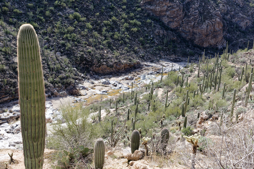 Photo: KimonBerlin, CC BY-SA 2.0 (via Flickr)
- 0.9 mi
- round trip
- 290 ft
- climb
- 3,334 ft
- high point
- Out and back
- route
- Nov–Apr
- best months
Is Tanque Verde Rim Loop open right now?
Closure in the area
There's a closure order in Santa Catalina Ranger District. It doesn't name Tanque Verde Rim Loop, so check the source for the area it covers.
Marshall Gulch Closure Order
Agency closure covering Santa Catalina Ranger District · Order 03-05-05-26-009 · USFS · Santa Catalina Ranger District
Border Barrier Construction Closure
Agency alert covering Coronado National Forest · Order 03-05-00-26-011 · USFS · Coronado National Forest
No Fire Restrictions
Agency alert covering Coronado National Forest · USFS · Coronado National Forest
Barfoot Snake Closure Order 03-05-01-24-004
Agency alert covering Coronado National Forest · USFS · Coronado National Forest
As of · Source: USFS · Santa Catalina Ranger District. Agencies don't list every closure — check before you go.
Tanque Verde Rim Loop is a 1.78-mile out-and-back trail in Arizona with 290 feet of elevation gain and loss. The route follows a rim and returns via the same path.
Local outfitters
- Patagonia RV Park49 mi away
Not on Roamze yet. Their page has how to reach them.
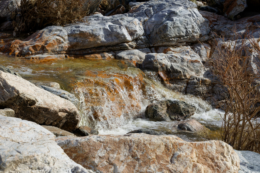 Lower Tanque Verde FallsHiking · Next doorPhoto: KimonBerlin, CC BY-SA 2.0 (via Flickr)
 Blue Dot TrailHiking · ~3 min drivePhoto: 666isMONEY ☮ ♥ & ☠, CC BY 2.0 (via Flickr)
 Douglas Spring TrailHiking · ~3 min drivePhoto: desertdutchman, CC BY 2.0 (via Flickr)
 MilagrosaHiking · ~7 min drivePhoto: Tanque Verde, CC BY 2.0 (via Flickr)
 Converse TrailHiking · ~3 min drivePhoto: Tanque Verde, CC BY 2.0 (via Flickr)
- Shantz TrailHiking · ~3 min drivePhoto: Tanque Verde, CC BY 2.0 (via Flickr)
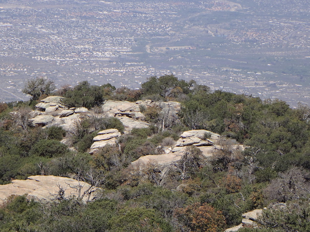 Tanque Verde Ridge TrailHiking · ~8 min drivePhoto: dret, CC BY-SA 2.0 (via Flickr)
- Agua Caliente HillHiking · ~5 min drive
- Ernie's Falls TrailHiking · ~3 min drivePhoto: desertdutchman, CC BY 2.0 (via Flickr)
 Carrillo TrailHiking · ~6 min drivePhoto: KimonBerlin, CC BY-SA 2.0 (via Flickr)
Best time to visit Tanque Verde Rim Loop
Best months: November–April. Best months have typical highs of 55–85 °F, lows of 30 °F or warmer (32 °F where the station doesn't record snow), at most one snowy day and no more than 12 wet days.
Jan
65° / 41°
Feb
68° / 43°
Mar
74° / 48°
Apr
82° / 54°
May
91° / 62°
Jun
101° / 72°
Jul
100° / 74°
Aug
98° / 73°
Sep
94° / 69°
Oct
86° / 59°
Nov
75° / 48°
Dec
65° / 41°
Typical high / low (°F) and days with rain or snow, 1991–2020. Measured at Saguaro Np, AZ, 6.6 mi away at 3,080 ft. This station doesn't record snowfall. Source: NOAA NCEI U.S. Climate Normals 1991–2020.


Map and trail data © OpenStreetMap contributors
