Douglas Spring Trail
 Photo: desertdutchman, CC BY 2.0 (via Flickr)
- 7.9 mi
- round trip
- 3,815 ft
- climb
- 6,135 ft
- high point
- Out and back
- route
- Mar–Nov
- best months
Is Douglas Spring Trail open right now?
Closure in the area
There's a closure order in Saguaro National Park. It doesn't name Douglas Spring Trail, so check the source for the area it covers.
Bajada Loop Drive Closure in West District
Park closure covering Saguaro National Park · NPS · Saguaro National Park
Vehicle Break-Ins
Park alert covering Saguaro National Park · NPS · Saguaro National Park
As of · Source: NPS · Saguaro National Park. Agencies don't list every closure — check before you go.
Douglas Spring Trail is a 15.7-mile out-and-back hike in Arizona's Saguaro National Park, within the Saguaro Wilderness. The National Park Service manages the land, and the route starts at 3,697 feet, rising to a high point of 6,135 feet. The climb is front-loaded, with the steepest stretch at about 5 miles in, and the total gain is 3,815 feet for the round trip. Spring and fall are the most comfortable times to go. Typical averages from a nearby weather station at Mt Lemmon Willow Canyon show May highs around 71°F and October highs around 68°F, while winter highs sit near 50°F with lows in the low 30s. The trip takes about 7 hours. The trail is rated expert, and the route is long and steep, so plan for a full day. Ernie's Falls Trail and Bridal Wreath Falls Trail both start within half a mile, and climbers can find Tanque Verde Canyon about 2.3 miles away. For an overnight stay, Molino campground is about 7.8 miles off.
Local outfitters
- Patagonia RV Park48 mi away
Not on Roamze yet. Their page has how to reach them.
- Ernie's Falls TrailHikingPhoto: desertdutchman, CC BY 2.0 (via Flickr)0.2 mi
- Bridal Wreath Falls TrailHiking0.4 mi
 Bajada Wash TrailHikingPhoto: Paul and Jill, CC BY 2.0 (via Flickr)1.7 mi
 The Tool ShedRock climbingPhoto: beglib, CC BY-SA 3.0 (via Wikimedia Commons)2.2 mi
- Tanque Verde CanyonRock climbingPhoto: beglib, CC BY-SA 3.0 (via Wikimedia Commons)2.3 mi
- The End of the RoadRock climbing4.7 mi
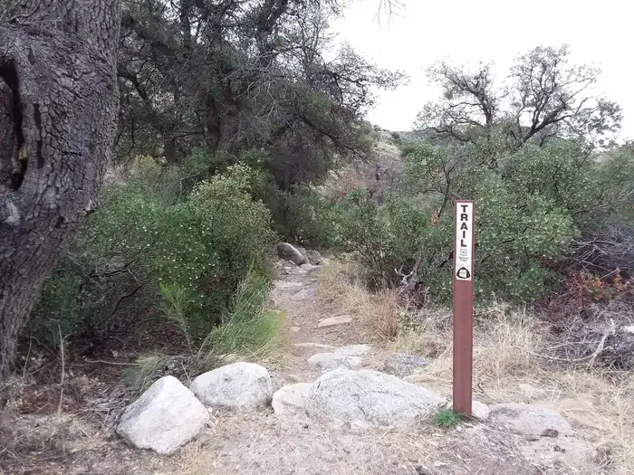 MolinoCampingPhoto: Recreation.gov (RIDB) / public domain7.8 mi
- Molino Basin GroupCamping7.8 mi
Source: Roamze catalog (indexable pages within 10 miles, PostGIS distance)
- Ernie's Falls TrailHiking · Next doorPhoto: desertdutchman, CC BY 2.0 (via Flickr)
 Shantz TrailHiking · ~3 min drivePhoto: Tanque Verde, CC BY 2.0 (via Flickr)
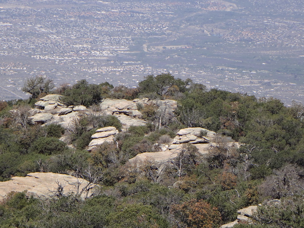 Tanque Verde Ridge TrailHiking · ~4 min drivePhoto: dret, CC BY-SA 2.0 (via Flickr)
 Cactus Forest TrailHiking · ~8 min drivePhoto: Tanque Verde, CC BY 2.0 (via Flickr)
- Converse TrailHiking · ~2 min drivePhoto: Tanque Verde, CC BY 2.0 (via Flickr)
 Blue Dot TrailHiking · ~4 min drivePhoto: 666isMONEY ☮ ♥ & ☠, CC BY 2.0 (via Flickr)
- Bajada Wash TrailHiking · ~3 min drivePhoto: Paul and Jill, CC BY 2.0 (via Flickr)
 Carrillo TrailHiking · ~5 min drivePhoto: KimonBerlin, CC BY-SA 2.0 (via Flickr)
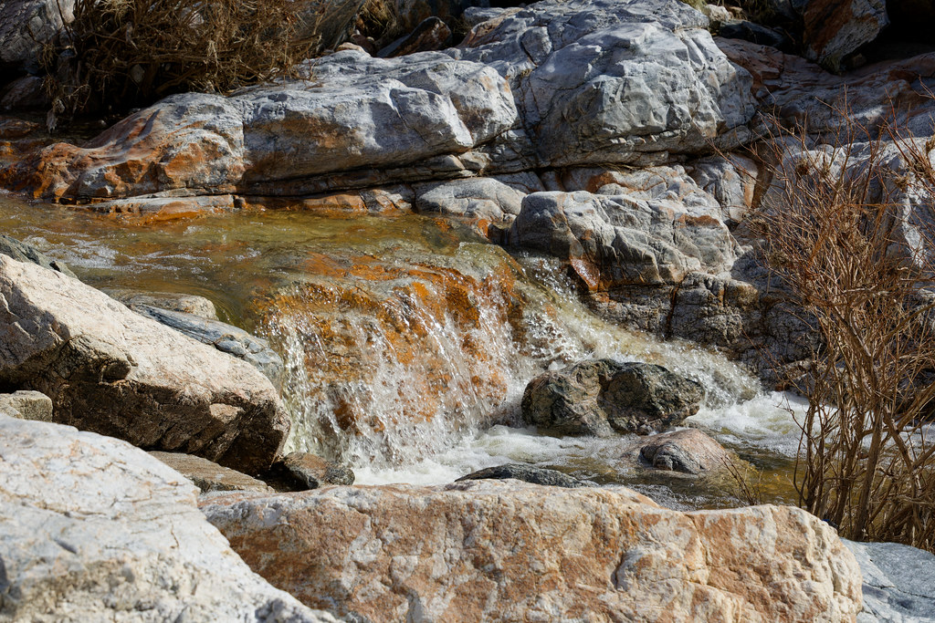 Lower Tanque Verde FallsHiking · ~3 min drivePhoto: KimonBerlin, CC BY-SA 2.0 (via Flickr)
 Wildhorse TrailHiking · ~3 min drivePhoto: Tanque Verde, CC BY 2.0 (via Flickr)
Also worth it near here
Best time to visit Douglas Spring Trail
Best months: March–November. Best months have typical highs of 55–85 °F, lows of 30 °F or warmer (32 °F where the station doesn't record snow), at most one snowy day and no more than 12 wet days.
Jan
50° / 34°
Feb
50° / 33°
Mar
55° / 37°
Apr
62° / 43°
May
71° / 51°
Jun
80° / 60°
Jul
80° / 63°
Aug
79° / 62°
Sep
75° / 59°
Oct
68° / 49°
Nov
59° / 40°
Dec
49° / 33°
Typical high / low (°F) and days with rain or snow, 1991–2020. Measured at Mt Lemmon Willow Canyon, AZ, 11.2 mi away at 7,027 ft. The station sits about 900 ft higher than this place, so expect it a little warmer here. This station doesn't record snowfall. Source: NOAA NCEI U.S. Climate Normals 1991–2020.

Map and trail data © OpenStreetMap contributors
