Wildcat Mountain
 Photo: Thomson200, CC0 (via Wikimedia Commons)
At a glance
Wildcat Mountain is a summit of 3,779 feet in the Raven Cliffs Wilderness, part of the Blue Ridge Ranger District of the Chattahoochee-Oconee National Forests in north Georgia. The nearest town is Helen, about 6 miles away. The most comfortable months for a visit are late spring and early fall. Typical averages from a nearby weather station at Germany Valley, which sits roughly 950 feet lower, show May highs around 72°F and September highs around 74°F, with July the warmest month at about 80°F. Temperatures on the summit run cooler than those figures. Several destinations sit close by. A.T. Whitley Gap Shelter is about 0.4 miles away, and Whitley Gap Shelter is about half a mile off. The Logan Turnpike and the Tesnatee Gap Trail are both within a mile.
- summit
- 3,779 ft
- way up
- 1
- best months
- Mar–Nov
Where it is: Raven Cliffs Wilderness · Blue Ridge Ranger District
Near: Cleveland
Best time to visit Wildcat Mountain
Best months: March–November. Best months have typical highs of 55–85 °F, lows of 30 °F or warmer (32 °F where the station doesn't record snow), at most one snowy day and no more than 12 wet days.
Jan
46°
26°
Feb
50°
28°
Mar
57°
35°
Apr
66°
43°
May
72°
51°
Jun
77°
59°
Jul
80°
62°
Aug
79°
61°
Sep
74°
55°
Oct
66°
44°
Nov
57°
35°
Dec
49°
30°
Typical high / low (°F) and days with rain or snow, 1991–2020. Measured at Germany Valley, GA, 25.4 mi away at 2,832 ft. The station sits about 900 ft lower than this place, so expect it a little cooler here. This station doesn't record snowfall. Source: NOAA NCEI U.S. Climate Normals 1991–2020.
Closures we've recorded since August 2026
Spring 2026 Forest-wide Fire Restrictions
Chattahoochee-Oconee National Forests · Order dated April 23, 2026; seen Aug 23, 2026 → lifted Oct 13, 2026 · Forest Service
Been here? Tell people how it was.
Map © Mapbox © OpenStreetMap contributors - Eagle Knob3,570 ft · Georgia1 route8.1 mi away
- Coosa Bald4,271 ft · Georgia1 route8.3 mi away
 Yonah Mountain3,164 ft · Georgia1 route9.0 mi awayPhoto: Tclo8899, CC BY-SA 3.0 (via Wikimedia Commons)
- Rocky Mountain4,440 ft · Georgia1 route10 mi away
- Buckeye Knob3,809 ft · Georgia1 route10 mi away
- Chimneytop Mountain4,306 ft · Georgia1 route11 mi away
- A.t. Whitley Gap ShelterCamping0.4 mi
 Whitley Gap ShelterHikingPhoto: Bas van Oorschot, CC BY 2.0 (via Flickr)0.5 mi
 Logan TurnpikeHikingPhoto: TranceMist, CC BY 2.0 (via Flickr)0.8 mi
 Tesnatee Gap TrailRock climbingPhoto: Thomsonmg2000, CC0 (via Wikimedia Commons)0.8 mi
- Raven Cliff FallsRock climbing2.9 mi
 Lake Winfield Scott Recreation AreaCampingPhoto: Recreation.gov (RIDB) / public domain3.4 mi
- Nottely RiverCanoeing4.4 mi
- Dukes CreekRiver fishing6.2 mi
 Levelland MountainSummitPhoto: Thomson200, CC0 (via Wikimedia Commons)~7 min drive
 Blood MountainSummitPhoto: Thomson200, CC0 (via Wikimedia Commons)~10 min drive
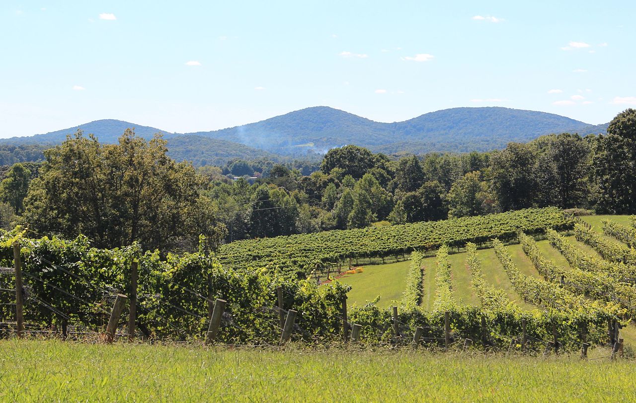 Three Sisters MountainSummitPhoto: Thomson200, CC0 (via Wikimedia Commons)~18 min drive
 Glassy MountainSummitPhoto: Thomson200, CC0 (via Wikimedia Commons)~36 min drive
 Springer MountainSummitPhoto: Mark Larson, CC BY-SA 2.0 (via Wikimedia Commons)~36 min drive
- Yonah MountainSummitPhoto: Tclo8899, CC BY-SA 3.0 (via Wikimedia Commons)~15 min drive
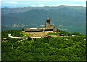 Brasstown BaldSummitPhoto: Public domain (via Wikimedia Commons)~19 min drive
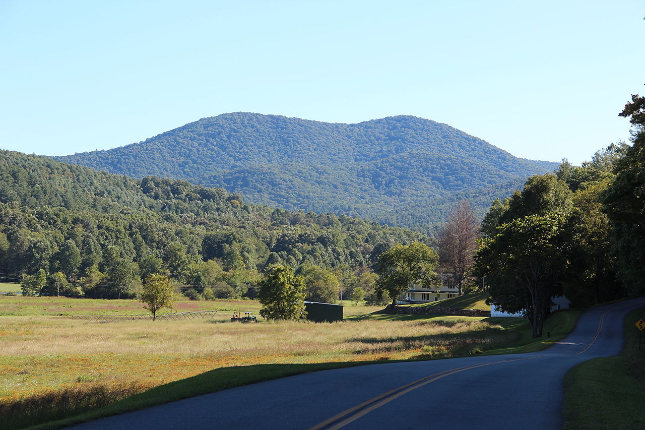 Big John Dick MountainSummitPhoto: Thomson200, CC0 (via Wikimedia Commons)~34 min drive
 Dicks KnobSummitPhoto: Thomson200, CC0 (via Wikimedia Commons)~44 min drive
- Wildcat KnobSummit~13 min drive
Also worth it near here
- Whitley Gap ShelterHikingPhoto: Bas van Oorschot, CC BY 2.0 (via Flickr)Next door
- Hogpen GapRock climbingPhoto: Thomsonmg2000, CC0 (via Wikimedia Commons)~1 min drive
- Lake Winfield Scott Recreation AreaCamping~6 min drive
 Helton Creek FallsWaterfallPhoto: Jsfouche, CC BY-SA 3.0 (via Wikimedia Commons)~7 min drive
Conditions and forecast
Daily highs and lows, wind and the chance of precipitation at the summit and route start for the next 7 days, from the Open-Meteo model.
Questions about Wildcat Mountain
How tall is Wildcat Mountain?
3,779 ft (1,152 m).
How many routes go to the summit of Wildcat Mountain?
One: Whitley Gap Shelter.
When is the best time to climb Wildcat Mountain?
Year-round.
Ask about this place
Questions about Wildcat Mountain: conditions, access, timing. Answers say when something isn't known.
