Buckeye Knob
- 3,809 ft
- summit
- 1
- way up
Is Buckeye Knob open right now?
Closure in the area
There's a closure order in Chattahoochee-Oconee National Forests. It doesn't name Buckeye Knob, so check the source for the area it covers (5 listed).
West Cowpen, FS Road 17, Road Maintenance
Agency closure covering Chattahoochee-Oconee National Forests · USFS · Chattahoochee-Oconee National Forests
Bear Creek Road, FS 241, Temporarily Closed
Agency closure covering Chattahoochee-Oconee National Forests · USFS · Chattahoochee-Oconee National Forests
Prescribed fire on Oconee Ranger District at Jasper County
Agency closure covering Chattahoochee-Oconee National Forests · USFS · Chattahoochee-Oconee National Forests
Muskrat Road, FS 218, Temporarily Closed
Agency closure covering Chattahoochee-Oconee National Forests · USFS · Chattahoochee-Oconee National Forests
Flash Flood Awareness
Agency closure covering Chattahoochee-Oconee National Forests · USFS · Chattahoochee-Oconee National Forests
As of · Source: USFS · Chattahoochee-Oconee National Forests. Agencies don't list every closure — check before you go.
Buckeye Knob is a summit in the Blue Ridge Ranger District of the Chattahoochee-Oconee National Forests in north Georgia, about 6.7 miles from the town of Blairsville. The closest trails are Bryant Creek Trail, about 1.6 miles away, and Roaring Fork Trail, about 2.3 miles away. Cooper Creek Campground sits about 4.1 miles out. Blood Mountain, roughly 4.8 miles away, offers climbing.
Conditions and forecast
Daily highs and lows, wind and the chance of precipitation at the summit and route start for the next 7 days, from the Open-Meteo model.
- Summit elevation
- 3,809 ft
Elevation from USGS 3D Elevation Program terrain data (about 10 m resolution).
Map © Mapbox © OpenStreetMap contributors Questions about Buckeye Knob
How tall is Buckeye Knob?
3,809 ft (1,161 m).
How many routes go to the summit of Buckeye Knob?
One: Duncan Ridge Trail.
 Bryant Creek TrailHikingPhoto: ChattOconeeNF, CC BY 2.0 (via Flickr)1.6 mi
- Roaring Fork TrailHiking2.3 mi
- Cooper Creek CampgroundCamping4.1 mi
- big cheeseRock climbing4.8 mi
- Blood MountainRock climbing4.8 mi
- Nottely RiverCanoeing6.8 mi
 Lake Winfield Scott Recreation AreaCampingPhoto: Recreation.gov (RIDB) / public domain6.9 mi
 Toccoa RiverCanoeingPhoto: Thomson200, CC0 (via Wikimedia Commons)7.5 mi
Source: Roamze catalog (indexable pages within 10 miles, PostGIS distance)
 Blood MountainSummit · ~8 min drivePhoto: Thomson200, CC0 (via Wikimedia Commons)
 Levelland MountainSummit · ~11 min drivePhoto: Thomson200, CC0 (via Wikimedia Commons)
 Wildcat MountainSummit · ~18 min drivePhoto: Thomson200, CC0 (via Wikimedia Commons)
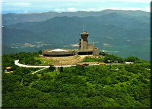 Brasstown BaldSummit · ~21 min drivePhoto: Public domain (via Wikimedia Commons)
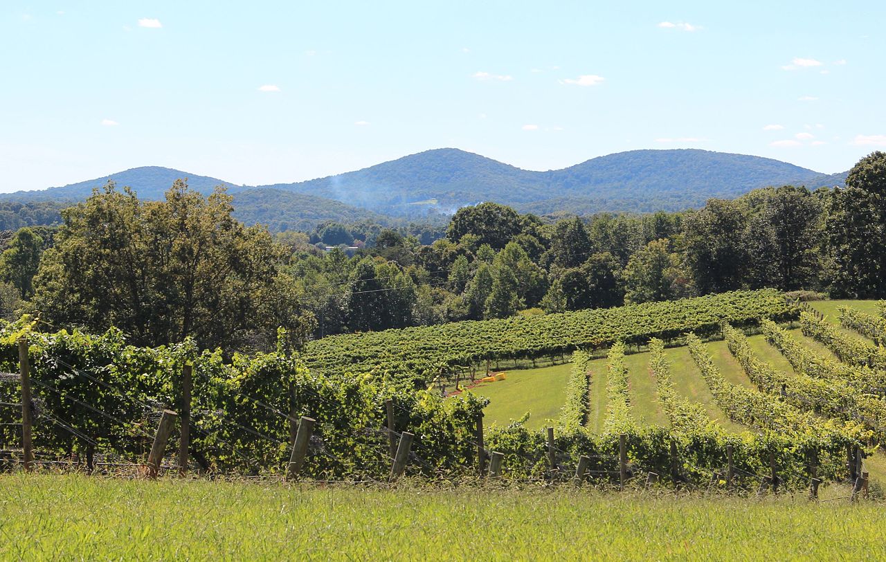 Three Sisters MountainSummit · ~23 min drivePhoto: Thomson200, CC0 (via Wikimedia Commons)
 Springer MountainSummit · ~27 min drivePhoto: Mark Larson, CC BY-SA 2.0 (via Wikimedia Commons)
 Yonah MountainSummit · ~33 min drivePhoto: Tclo8899, CC BY-SA 3.0 (via Wikimedia Commons)
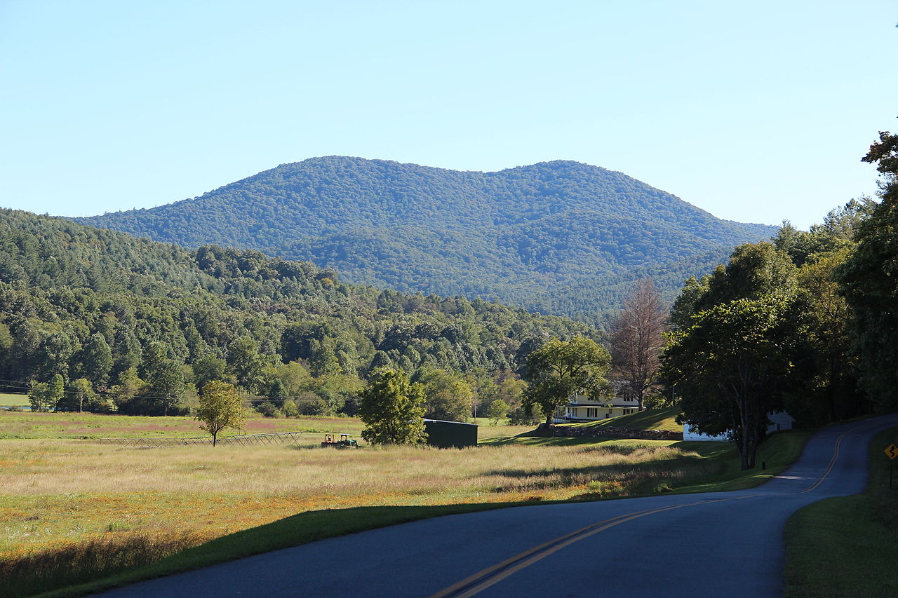 Big John Dick MountainSummit · ~21 min drivePhoto: Thomson200, CC0 (via Wikimedia Commons)
- Buck KnobSummit · ~3 min drive
- Coosa BaldSummit · ~4 min drive
Also worth it near here
- Bryant Creek TrailHiking · ~3 min drivePhoto: ChattOconeeNF, CC BY 2.0 (via Flickr)
 DeSoto FallsWaterfall · ~11 min drivePhoto: Thomsonmg2000, CC0 (via Wikimedia Commons)
- Lake Winfield Scott Recreation AreaCamping · ~12 min drive
- Toccoa RiverCanoeing · ~13 min drivePhoto: Thomson200, CC0 (via Wikimedia Commons)
