Whitley Gap Shelter
 Photo: Bas van Oorschot, CC BY 2.0 (via Flickr)
- 2.2 mi
- round trip
- 968 ft
- climb
- 3,777 ft
- high point
- Out and back
- route
Is Whitley Gap Shelter open right now?
Closure in the area
There's a closure order in Chattahoochee-Oconee National Forests. It doesn't name Whitley Gap Shelter, so check the source for the area it covers (6 listed).
West Cowpen, FS Road 17, Road Maintenance
Agency closure covering Chattahoochee-Oconee National Forests · USFS · Chattahoochee-Oconee National Forests
Bear Creek Road, FS 241, Temporarily Closed
Agency closure covering Chattahoochee-Oconee National Forests · USFS · Chattahoochee-Oconee National Forests
Prescribed fire on Oconee Ranger District at Jasper County
Agency closure covering Chattahoochee-Oconee National Forests · USFS · Chattahoochee-Oconee National Forests
Muskrat Road, FS 218, Temporarily Closed
Agency closure covering Chattahoochee-Oconee National Forests · USFS · Chattahoochee-Oconee National Forests
List of trail closures post-Hurricane Helene
Park closure covering Appalachian National Scenic Trail · NPS · Appalachian National Scenic Trail
As of · Source: USFS · Chattahoochee-Oconee National Forests. Agencies don't list every closure — check before you go.
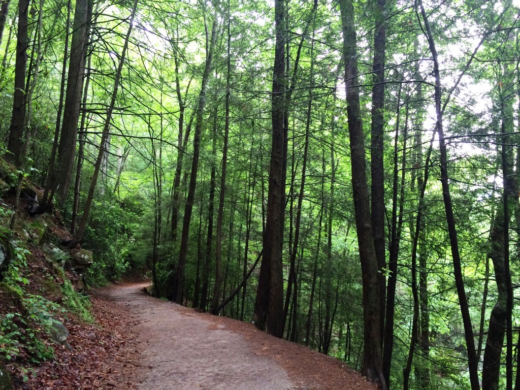
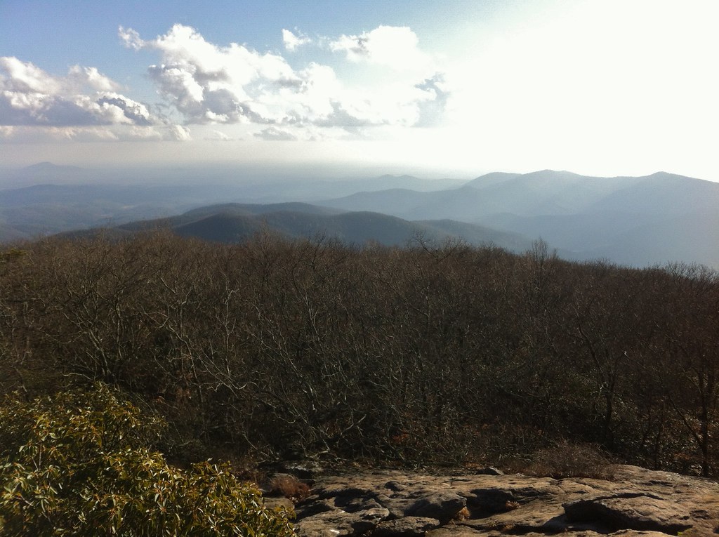
Whitley Gap Shelter is a short, easy hike in the Raven Cliffs Wilderness, part of the Blue Ridge Ranger District of the Chattahoochee-Oconee National Forests in north Georgia. The Forest Service manages the land, and the route lies within the Appalachian National Scenic Trail corridor. The out-and-back trip covers about 2.2 miles, with a total climb of 968 feet. The steepest stretch comes at about 0.75 miles in, where the grade reaches 24 percent. The trail is natural-surface and does not allow bikes. The shelter sits at about 3,633 feet, and the route reaches a high point of about 3,777 feet. Logan Turnpike and the Tesnatee Gap Trail are both about 0.4 miles away. A.T. Whitley Gap Shelter is about a mile off, and Lake Winfield Scott Recreation Area is about 3.1 miles away.
Local outfitters
Not on Roamze yet. Their page has how to reach them.
Conditions and forecast on Wildcat Mountain
Daily highs and lows, wind and the chance of precipitation at the summit and route start for the next 7 days, from the Open-Meteo model.
 Logan TurnpikeHikingPhoto: TranceMist, CC BY 2.0 (via Flickr)0.4 mi
 Tesnatee Gap TrailRock climbingPhoto: Thomsonmg2000, CC0 (via Wikimedia Commons)0.4 mi
- A.t. Whitley Gap ShelterCamping1 mi
 Lake Winfield Scott Recreation AreaCampingPhoto: Recreation.gov (RIDB) / public domain3.1 mi
 Raven CliffsHikingPhoto: ChattOconeeNF, CC BY 2.0 (via Wikimedia Commons)3.1 mi
- Raven Cliff FallsRock climbing3.2 mi
- Nottely RiverCanoeing3.9 mi
- Dukes CreekRiver fishing6.5 mi
Source: Roamze catalog (indexable pages within 10 miles, PostGIS distance)
- Logan TurnpikeHiking · Next doorPhoto: TranceMist, CC BY 2.0 (via Flickr)
 Waterfall Access TrailHiking · ~6 min drivePhoto: ChattOconeeNF, CC BY 2.0 (via Flickr)
 Coosa BackcountryHiking · ~10 min drivePhoto: TranceMist, CC BY 2.0 (via Flickr)
- Coosa BackcountryHiking · ~10 min drive
- Raven CliffsHiking · ~5 min drivePhoto: ChattOconeeNF, CC BY 2.0 (via Wikimedia Commons)
 Helton Creek FallsHiking · ~6 min drivePhoto: samhozan, Public Domain Dedication (CC0) (via Flickr)
 Smith Creek TrailHiking · ~13 min drivePhoto: Bas van Oorschot, CC BY-SA 3.0 (via Wikimedia Commons)
 Dukes Creek FallsHiking · ~6 min drivePhoto: Bas van Oorschot, CC BY-SA 3.0 (via Wikimedia Commons)
- Laurel Ridge TrailHiking · ~8 min drivePhoto: ChattOconeeNF, CC BY 2.0 (via Wikimedia Commons)
- Jacks KnobHiking · ~12 min drive
Also worth it near here
- Hogpen GapRock climbing · Next doorPhoto: Thomsonmg2000, CC0 (via Wikimedia Commons)
 Wildcat MountainSummit · Next doorPhoto: Thomson200, CC0 (via Wikimedia Commons)
- Nottely RiverCanoeing · ~7 min drive
 DeSoto Falls CampgroundCamping · ~7 min drivePhoto: Bas van Oorschot, CC BY-SA 3.0 (via Wikimedia Commons)
Route details
- Distance
- 2.2 mi round trip
- Climbing
- About 968 ft
- Summit
- 3,779 ft
- Difficulty
- Moderate
- Time
- About 1 hour
Season
Season: Year-round.
Questions about this route
How long is the Whitley Gap Shelter on Wildcat Mountain?
About 2.2 mi round trip.
How much elevation gain is on the Whitley Gap Shelter?
About 968 ft of climbing round trip.
How hard is the Whitley Gap Shelter?
It is rated moderate.
How long does the Whitley Gap Shelter take?
About 1 hour round trip.
When is the best time for the Whitley Gap Shelter?
Year-round.
