Chimneytop Mountain
- 4,306 ft
- summit
- 1
- way up
Is Chimneytop Mountain open right now?
Closure in the area
There's a closure order in Chattahoochee-Oconee National Forests. It doesn't name Chimneytop Mountain, so check the source for the area it covers (5 listed).
West Cowpen, FS Road 17, Road Maintenance
Agency closure covering Chattahoochee-Oconee National Forests · USFS · Chattahoochee-Oconee National Forests
Bear Creek Road, FS 241, Temporarily Closed
Agency closure covering Chattahoochee-Oconee National Forests · USFS · Chattahoochee-Oconee National Forests
Prescribed fire on Oconee Ranger District at Jasper County
Agency closure covering Chattahoochee-Oconee National Forests · USFS · Chattahoochee-Oconee National Forests
Muskrat Road, FS 218, Temporarily Closed
Agency closure covering Chattahoochee-Oconee National Forests · USFS · Chattahoochee-Oconee National Forests
Flash Flood Awareness
Agency closure covering Chattahoochee-Oconee National Forests · USFS · Chattahoochee-Oconee National Forests
As of · Source: USFS · Chattahoochee-Oconee National Forests. Agencies don't list every closure — check before you go.
Chimneytop Mountain is a summit of 4,306 feet in the Brasstown Wilderness, part of the Blue Ridge Ranger District of the Chattahoochee-Oconee National Forests in north Georgia. The nearest town is Young Harris, about 4.4 miles away. The most comfortable months for a visit are typically late spring and early fall. Typical averages from a nearby weather station at Germany Valley run from highs around 72°F in May to about 74°F in September, with July the warmest at about 80°F. That station sits roughly 1,500 feet below the summit, so temperatures on top run cooler. Several other destinations lie close by. Brasstown Bald is about 1.1 miles away, and the Wagon Train Trail is about a mile off. Arkaquah is about 1.6 miles away. For an overnight stay, A.T. Low Gap Shelter is about 6.7 miles away.
Conditions and forecast
Daily highs and lows, wind and the chance of precipitation at the summit and route start for the next 7 days, from the Open-Meteo model.
- Summit elevation
- 4,306 ft
Elevation from USGS 3D Elevation Program terrain data (about 10 m resolution).
Map © Mapbox © OpenStreetMap contributors Questions about Chimneytop Mountain
How tall is Chimneytop Mountain?
4,306 ft (1,312 m).
How many routes go to the summit of Chimneytop Mountain?
One: Arkaquah Trail.
 Brasstown Bald4,782 ft · Georgia1 route1.0 mi awayPhoto: Public domain (via Wikimedia Commons)
- Little Bald Mountain4,419 ft · Georgia1 route1.4 mi away
- Rocky Mountain4,440 ft · Georgia1 route1.4 mi away
- Eagle Knob3,570 ft · Georgia1 route3.5 mi away
- Blue Rock3,344 ft · Georgia1 route4.1 mi away
- Rocky Knob3,327 ft · Georgia1 route5.3 mi away
- Wagon Train TrailHiking1 mi
- Brasstown BaldHiking1.1 mi
- ArkaquahHiking1.6 mi
- A.t. Low Gap ShelterCamping6.7 mi
- Chatuge LakeLake fishing7.4 mi
- Nottely RiverCanoeing7.6 mi
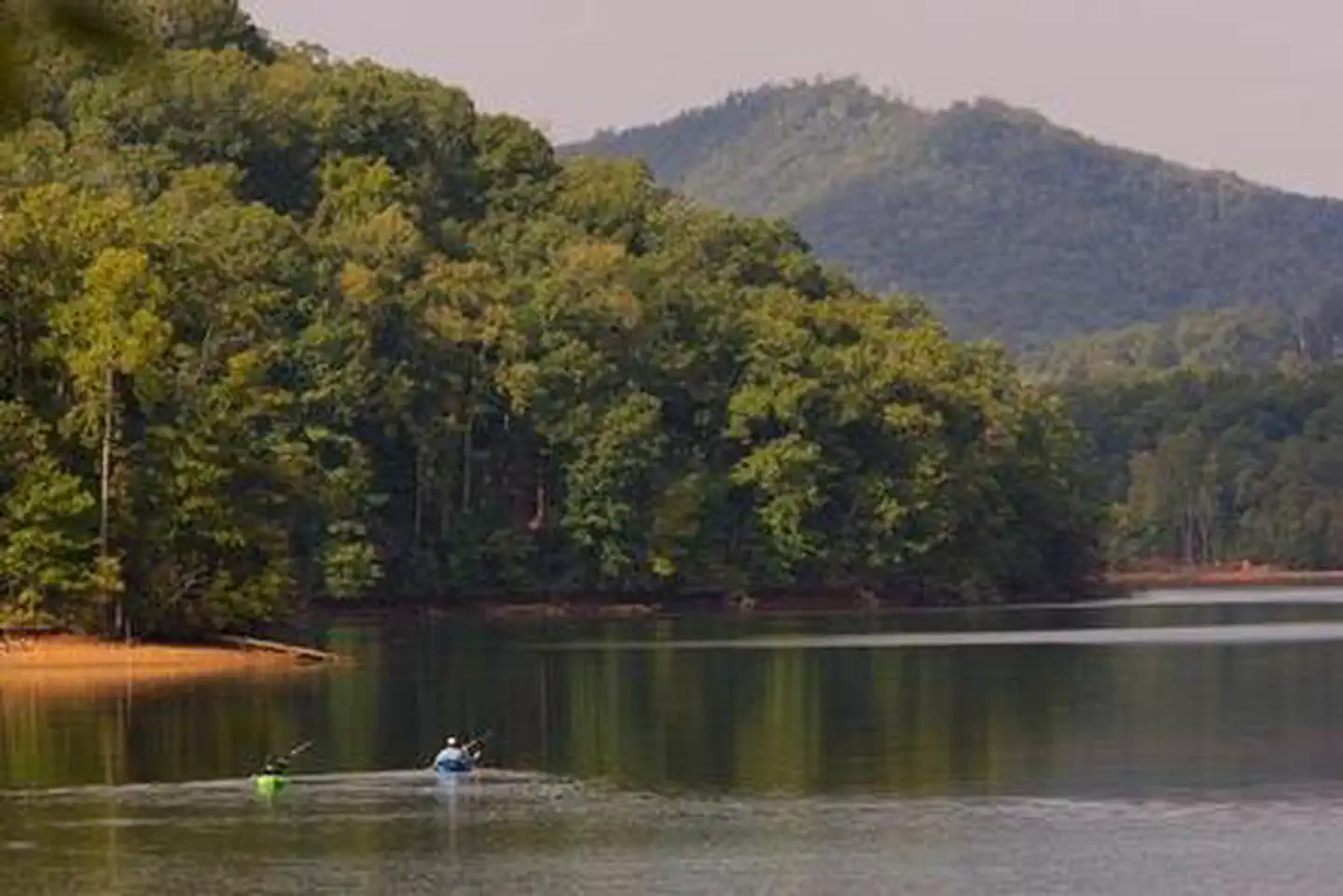 Jackrabbit MountainLake fishing9.8 mi
 Lake Winfield Scott Recreation AreaCampingPhoto: Recreation.gov (RIDB) / public domain9.9 mi
Source: Roamze catalog (indexable pages within 10 miles, PostGIS distance)
