Humbug94
At a glance
Humbug94 is a moderate out-and-back hike of about 4.9 miles in the Oak Knoll Ranger District of Klamath National Forest in California. The trail climbs roughly 814 feet, from a low point of about 4,240 feet to a high point of about 4,717 feet. It is managed by the Forest Service, and the route is natural-surfaced. Summer is the most comfortable time to go. Typical averages from a nearby weather station run to highs near 79°F in July and August with only two or three wet days a month, while winter brings highs in the mid-30s and frequent snow from December through February. Several other Humbug routes lie within about 3 miles, including Humbug101, Humbug97 and Humbug100. For an overnight stay, Tree of Heaven Campground is about 6 miles away.
- round trip
- 4.9 mi
- climb
- 814 ft
- high point
- 4,717 ft
- route
- Out and back
- best months
- May–Oct
Where it is: Oak Knoll Ranger District · Klamath National Forest
Near: Yreka
Best time to visit Humbug94
Best months: May–October. Best months have typical highs of 55–85 °F, lows of 30 °F or warmer (32 °F where the station doesn't record snow), at most one snowy day and no more than 12 wet days.
Jan
36°
23°
15 wet · 9 snow
Feb
40°
23°
14 wet · 8 snow
Mar
45°
26°
16 wet · 8 snow
Apr
50°
29°
13 wet · 4 snow
May
60°
36°
11 wet · 1 snow
Jun
68°
40°
5 wet
Jul
79°
47°
3 wet
Aug
79°
46°
2 wet
Sep
72°
40°
4 wet
Oct
58°
33°
8 wet · 1 snow
Nov
42°
28°
13 wet · 5 snow
Dec
35°
23°
15 wet · 9 snow
Typical high / low (°F) and days with rain or snow, 1991–2020. Measured at Howard Prairie Dam, OR, 35.2 mi away at 4,567 ft. Source: NOAA NCEI U.S. Climate Normals 1991–2020.
Been here? Tell people how it was.
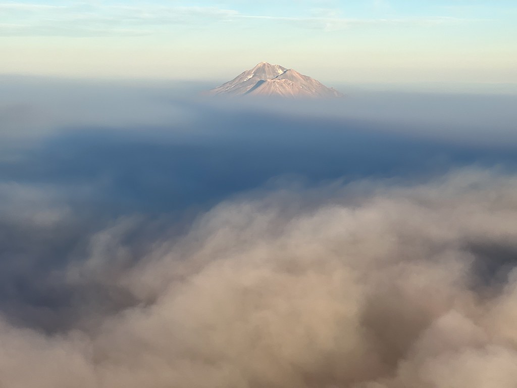 Sidewinder TrailHikingPhoto: NOAACSL, CC BY 2.0 (via Flickr)~15 min drive
- Goat TrailHikingPhoto: NOAACSL, CC BY 2.0 (via Flickr)~15 min drive
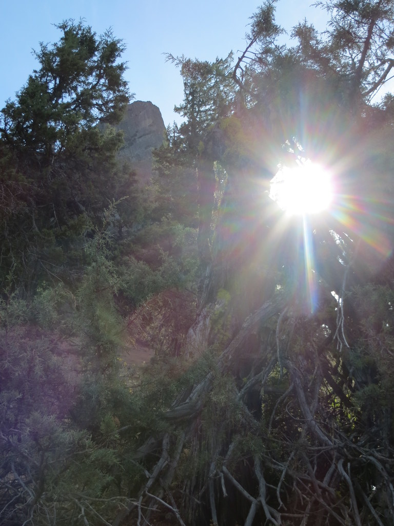 Pct - Oregon Section BHikingPhoto: BLM Oregon & Washington, CC BY-SA 2.0 (via Flickr)~32 min drive
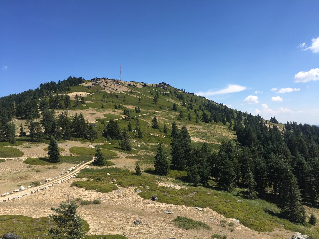 Split RockHikingPhoto: zappowbang, CC BY-SA 2.0 (via Flickr)~32 min drive
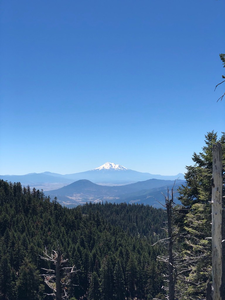 CREST LOOP NORDICHikingPhoto: zappowbang, CC BY-SA 2.0 (via Flickr)~32 min drive
- Kids TrailHikingPhoto: NOAACSL, CC BY 2.0 (via Flickr)~16 min drive
 Lone Pilot TrailHikingPhoto: BLM Oregon & Washington, CC BY 2.0 (via Wikimedia Commons)~34 min drive
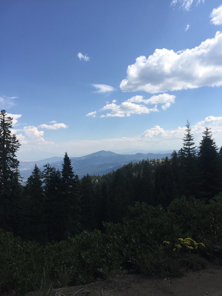 GROUSE CREEK NORDICHikingPhoto: zappowbang, CC BY-SA 2.0 (via Flickr)~32 min drive
 SUMMIT NORDICHikingPhoto: zappowbang, CC BY-SA 2.0 (via Flickr)~32 min drive
- Pilot RockHikingPhoto: BLM Oregon & Washington, CC BY-SA 2.0 (via Flickr)~32 min drive
Conditions and forecast
Caution todayAgency alerts are in effect for this areaUSFS · checked 8 min agoDaily highs and lows, wind and the chance of precipitation at Start for the next 7 days, from the Open-Meteo model.

Ask about this place
Questions about Humbug94: conditions, access, timing. Answers say when something isn't known.
Local outfitters
- Ashland Family YMCA27 mi away
- Momentum River Expeditions27 mi away
Not on Roamze yet. Their page has how to reach them.
