Chocolate Falls
- 3,215 ft
- elevation
- Mar–Jun, Sep–Nov
- best months
Chocolate Falls is a waterfall in Oregon, sitting at about 3,215 feet. The nearest town is Hornbrook, California, about 9 miles away, which makes it an easy addition to a trip across the state line. Late spring and early fall are the most comfortable times to visit. Typical averages from a nearby weather station show May highs around 74°F and September highs around 85°F, while July and August average about 93°F. That station sits roughly 500 feet lower than the falls, so temperatures at the falls run a little cooler. Several other spots lie within a short drive. Cottonwood Creek, a canoeing route, is about 3 miles away, and the PCT Oregon Section B and the Pilot Rock hike are both within about 3.5 miles. Mt Ashland campground is about 5.5 miles off.
- Elevation
- 3,215 ft
Elevation from USGS 3D Elevation Program terrain data (about 10 m resolution).
- Cottonwood CreekCanoeing2.9 mi
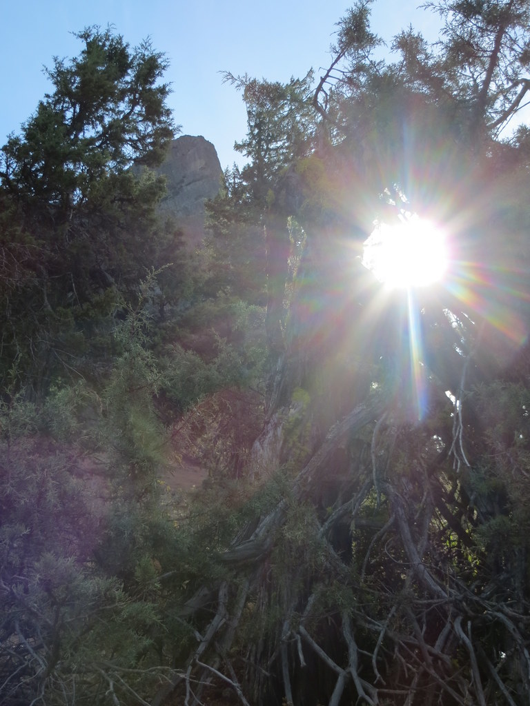 Pct - Oregon Section BHikingPhoto: BLM Oregon & Washington, CC BY-SA 2.0 (via Flickr)3.3 mi
- Pilot RockHikingPhoto: BLM Oregon & Washington, CC BY-SA 2.0 (via Flickr)3.5 mi
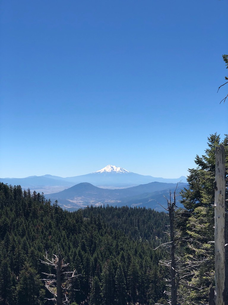 CREST LOOP NORDICHikingPhoto: zappowbang, CC BY-SA 2.0 (via Flickr)4.5 mi
- Mt AshlandCamping5.5 mi
 Mt. Ashland's Dream BoulderRock climbingPhoto: james shaw, CC BY-SA 3.0 (via Wikimedia Commons)6.2 mi
- Emigrant CreekCanoeing7.5 mi
- Ren WallRock climbing9.7 mi
Source: Roamze catalog (indexable pages within 10 miles, PostGIS distance)
- Ponytail FallsWaterfall · ~45 min drive
- Horsetail FallsWaterfall · ~45 min drive
- Ti'lomikh FallsWaterfall · ~1h 1m drive
- Dillon FallsWaterfall · ~1h 2m drive
- Butte FallsWaterfall · ~1h 2m drive
- Johnson Creek FallsWaterfall · ~1h 11m drive
- Whitney FallsWaterfall · ~1h 15m drive
- Klamath FallsWaterfall · ~1h 17m drive
- Loretta FallsWaterfall · ~1h 20m drive
- Ash Creek FallsWaterfall · ~1h 25m drive
Also worth it near here
- Cottonwood CreekCanoeing · ~5 min drive
- Pilot RockHiking · ~6 min drivePhoto: BLM Oregon & Washington, CC BY-SA 2.0 (via Flickr)
 Crest Loop NordicCross-country skiing · ~8 min drivePhoto: james shaw, CC BY-SA 3.0 (via Wikimedia Commons)
- PCT: Rrs SouthMountain biking · ~8 min drivePhoto: james shaw, CC BY-SA 3.0 (via Wikimedia Commons)
Best time to visit Chocolate Falls
Best months: March–June and September–November. Best months have typical highs of 55–85 °F, lows of 30 °F or warmer (32 °F where the station doesn't record snow), at most one snowy day and no more than 12 wet days.
Jan
48° / 26°
13 wet
Feb
53° / 29°
11 wet
Mar
58° / 32°
12 wet
Apr
64° / 35°
10 wet
May
74° / 42°
8 wet
Jun
82° / 49°
4 wet
Jul
93° / 56°
2 wet
Aug
93° / 55°
2 wet
Sep
85° / 49°
3 wet
Oct
70° / 39°
6 wet
Nov
56° / 32°
11 wet
Dec
47° / 26°
13 wet
Typical high / low (°F) and days with rain or snow, 1991–2020. Measured at Copco #1 Dam, CA, 15.5 mi away at 2,703 ft. The station sits about 500 ft lower than this place, so expect it a little cooler here. This station doesn't record snowfall. Source: NOAA NCEI U.S. Climate Normals 1991–2020.
