Kids Trail
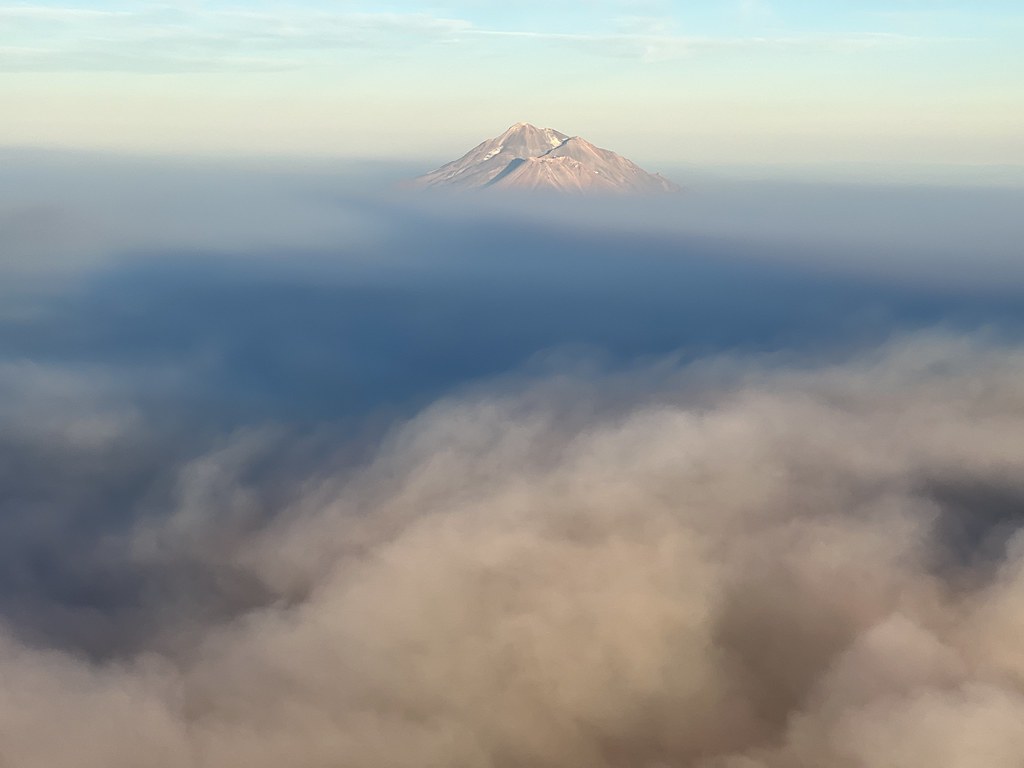 Photo: NOAACSL, CC BY 2.0 (via Flickr)
- 0.6 mi
- round trip
- 204 ft
- climb
- 2,843 ft
- high point
- Out and back
- route
- Mar–Jun, Sep–Oct
- best months
Kids Trail is an easy out-and-back hike of about 1.3 miles through Greenhorn Park in California, on city land. The trail gains about 200 feet from a starting point near 2,760 feet to a high of about 2,840 feet, and the steepest stretch comes early, around 7% grade, before the climb eases. Late spring and early fall are the most comfortable times to go. Typical averages from a nearby weather station in Yreka show May highs around 74°F and October highs around 70°F, while July and August average in the low 90s. The trip takes about half an hour, and the trail is close to several other routes. Miners Trail and Lynn Skinner Trail are each about 0.4 miles away, and Upper Falls Trail is about 0.8 miles off. Tree of Heaven Campground lies roughly 8 miles away for anyone planning an overnight stay.
Local outfitters
- Ashland Family YMCA34 mi away
- Momentum River Expeditions34 mi away
Not on Roamze yet. Their page has how to reach them.
- Miners TrailHiking0.4 mi
- Lynn Skinner TrailHiking0.4 mi
- Goat TrailHikingPhoto: NOAACSL, CC BY 2.0 (via Flickr)0.5 mi
- Upper Falls TrailHiking0.8 mi
- Sidewinder TrailHikingPhoto: NOAACSL, CC BY 2.0 (via Flickr)0.8 mi
 Tree of Heaven CampgroundCampingPhoto: Recreation.gov (RIDB) / public domain8.4 mi
 Shasta RiverCanoeingPhoto: Marshman at en.wikipedia, CC BY-SA 3.0 (via Wikimedia Commons)9.4 mi
- Moffett CreekCanoeing9.8 mi
Source: Roamze catalog (indexable pages within 10 miles, PostGIS distance)
- Goat TrailHiking · Next doorPhoto: NOAACSL, CC BY 2.0 (via Flickr)
- Sidewinder TrailHiking · ~1 min drivePhoto: NOAACSL, CC BY 2.0 (via Flickr)
 Lone Pilot TrailHiking · ~39 min drivePhoto: BLM Oregon & Washington, CC BY 2.0 (via Wikimedia Commons)
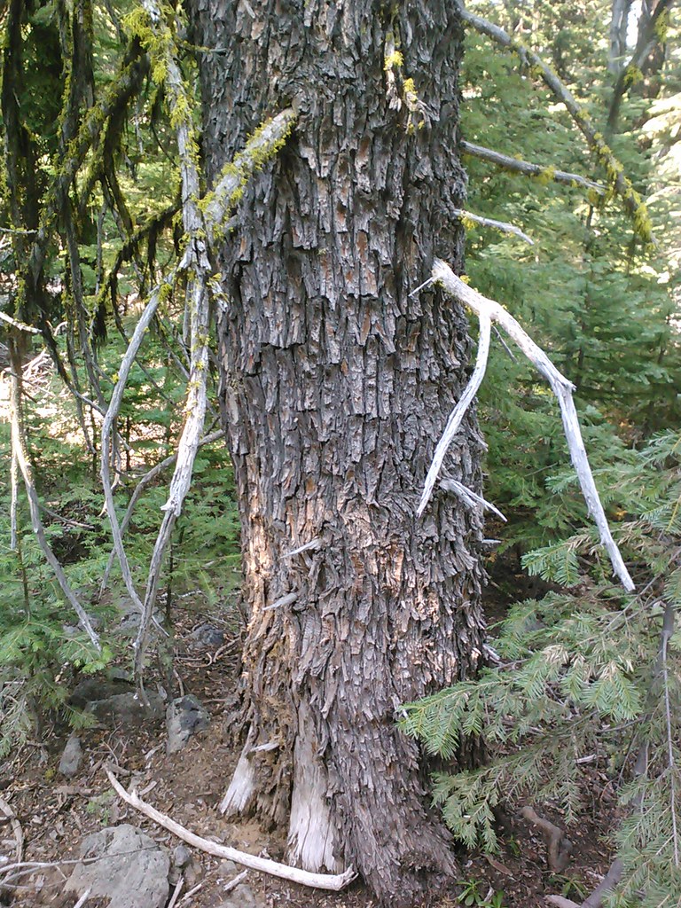 Goosenest TrailHiking · ~40 min drivePhoto: theforestprimeval, CC BY-SA 2.0 (via Flickr)
 Goosenest TrailHiking · ~38 min drivePhoto: theforestprimeval, CC BY-SA 2.0 (via Flickr)
- Goosenest (from quarry) TrailHiking · ~38 min drivePhoto: theforestprimeval, CC BY-SA 2.0 (via Flickr)
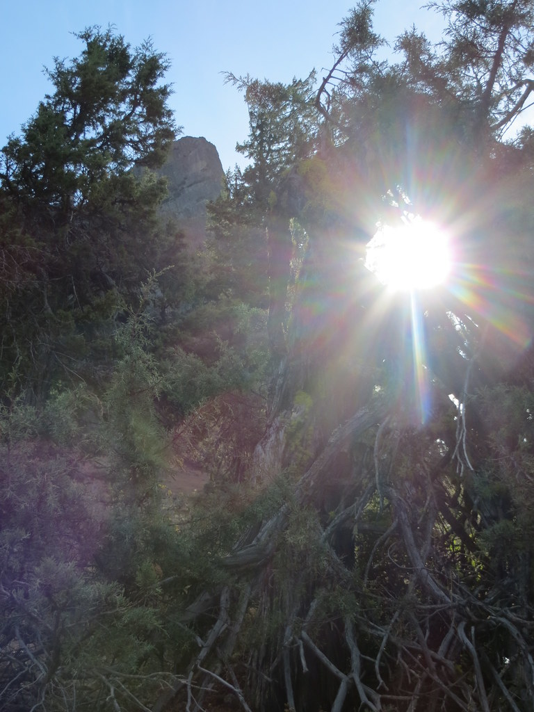 Pct - Oregon Section BHiking · ~39 min drivePhoto: BLM Oregon & Washington, CC BY-SA 2.0 (via Flickr)
- Humbug109Hiking · ~9 min drive
- Pilot RockHiking · ~39 min drivePhoto: BLM Oregon & Washington, CC BY-SA 2.0 (via Flickr)
 Houston CreekHiking · ~40 min drivePhoto: theforestprimeval, CC BY-SA 2.0 (via Flickr)
Best time to visit Kids Trail
Best months: March–June and September–October. Best months have typical highs of 55–85 °F, lows of 30 °F or warmer (32 °F where the station doesn't record snow), at most one snowy day and no more than 12 wet days.
Jan
46° / 27°
13 wet
Feb
52° / 29°
10 wet
Mar
58° / 32°
11 wet
Apr
64° / 37°
9 wet
May
74° / 43°
8 wet
Jun
83° / 49°
4 wet
Jul
93° / 55°
3 wet
Aug
92° / 54°
2 wet
Sep
84° / 47°
2 wet
Oct
70° / 38°
5 wet
Nov
54° / 31°
10 wet
Dec
45° / 27°
13 wet
Typical high / low (°F) and days with rain or snow, 1991–2020. Measured at Yreka, CA, 0.6 mi away at 2,709 ft. This station doesn't record snowfall. Source: NOAA NCEI U.S. Climate Normals 1991–2020.
Map and trail data © OpenStreetMap contributors
