Humbug98
- 0.9 mi
- round trip
- 556 ft
- climb
- 3,649 ft
- high point
- Out and back
- route
- Mar–Jun, Sep–Oct
- best months
Is Humbug98 open right now?
Alert in the area
The Forest Service lists 2 alerts for Klamath National Forest.
Temporarily closure of approximately 3.5 miles of National Forest System Roads 47N01
Agency alert covering Klamath National Forest · Order 05-05-00-26-08 · USFS · Klamath National Forest
Grayback Road Repairs
Agency alert covering Klamath National Forest · USFS · Klamath National Forest
As of · Source: USFS · Klamath National Forest. Agencies don't list every closure — check before you go.
Humbug98 is an easy out-and-back hike in the Oak Knoll Ranger District of Klamath National Forest in California, managed by the Forest Service. The trail is about 0.9 miles long, with a one-way climb of 556 feet from a low point of about 3,067 feet to a high of about 3,649 feet. The surface is natural. Late spring and early fall are the most comfortable times to go. Typical averages from a nearby weather station in Yreka show May highs around 74°F and October highs around 70°F, while July and August average in the low 90s. That station sits roughly 940 feet lower than the trail's high point, so temperatures up top run cooler. Several other Humbug hikes lie within a mile, including Humbug99, Humbug97 and Humbug102. Tree of Heaven Campground is about 6 miles away.
Local outfitters
- Ashland Family YMCA29 mi away
- Momentum River Expeditions29 mi away
Not on Roamze yet. Their page has how to reach them.
Best time to go · Mar–Jun, Sep–Oct
Best time to visit Humbug98
Best months: March–June and September–October. Best months have typical highs of 55–85 °F, lows of 30 °F or warmer (32 °F where the station doesn't record snow), at most one snowy day and no more than 12 wet days.
Jan
46° / 27°
13 wet
Feb
52° / 29°
10 wet
Mar
58° / 32°
11 wet
Apr
64° / 37°
9 wet
May
74° / 43°
8 wet
Jun
83° / 49°
4 wet
Jul
93° / 55°
3 wet
Aug
92° / 54°
2 wet
Sep
84° / 47°
2 wet
Oct
70° / 38°
5 wet
Nov
54° / 31°
10 wet
Dec
45° / 27°
13 wet
Typical high / low (°F) and days with rain or snow, 1991–2020. Measured at Yreka, CA, 7.4 mi away at 2,709 ft. The station sits about 900 ft lower than this place, so expect it a little cooler here. This station doesn't record snowfall. Source: NOAA NCEI U.S. Climate Normals 1991–2020.
Keep exploring — more trails worth the drive
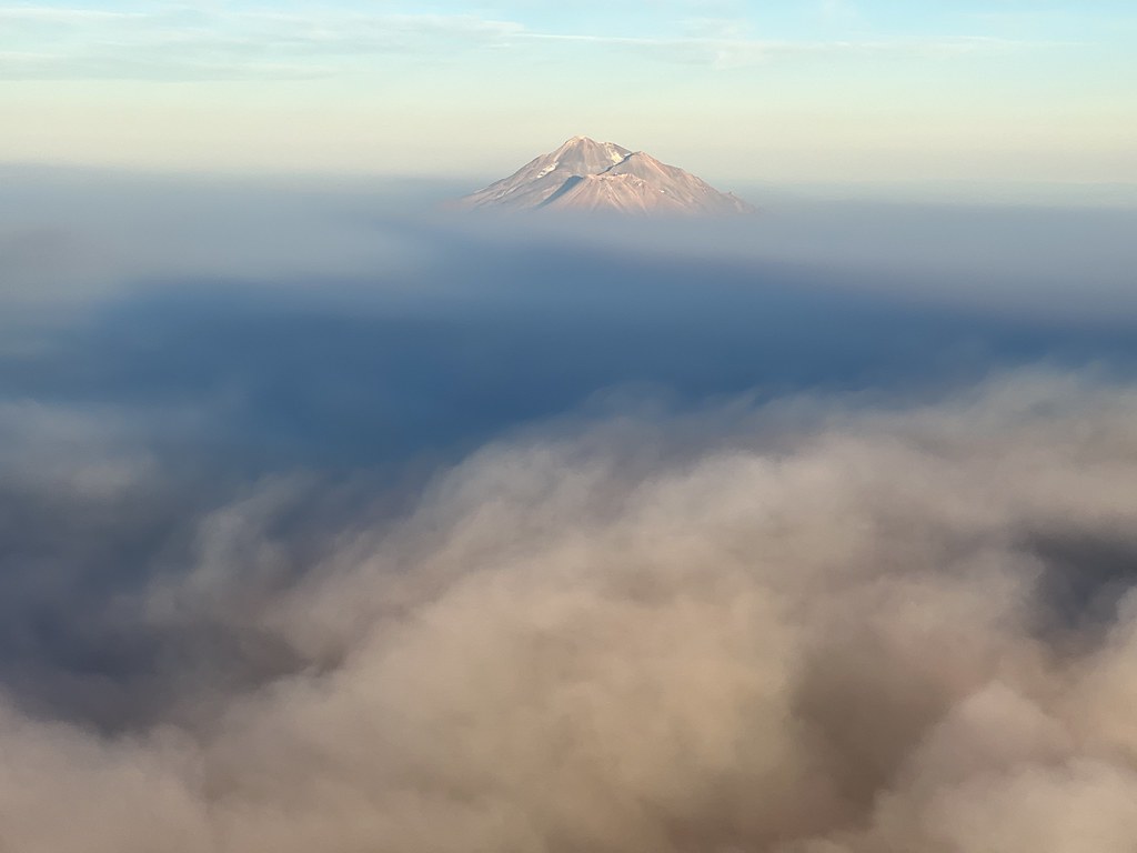 Photo: NOAACSL, CC BY 2.0 (via Flickr)
Sidewinder Trail
~11 min drive
2.8-mile out-and-back trail in California with 1,721 ft elevation gain
Photo: NOAACSL, CC BY 2.0 (via Flickr)Goat Trail
~11 min drive
1.28-mile out-and-back trail in California with 722 ft elevation gain.
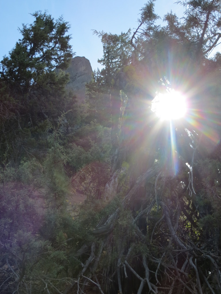 Photo: BLM Oregon & Washington, CC BY-SA 2.0 (via Flickr)
Pct - Oregon Section B
~34 min drive
54.11-mile point-to-point trail in Oregon with 5,136 ft gain
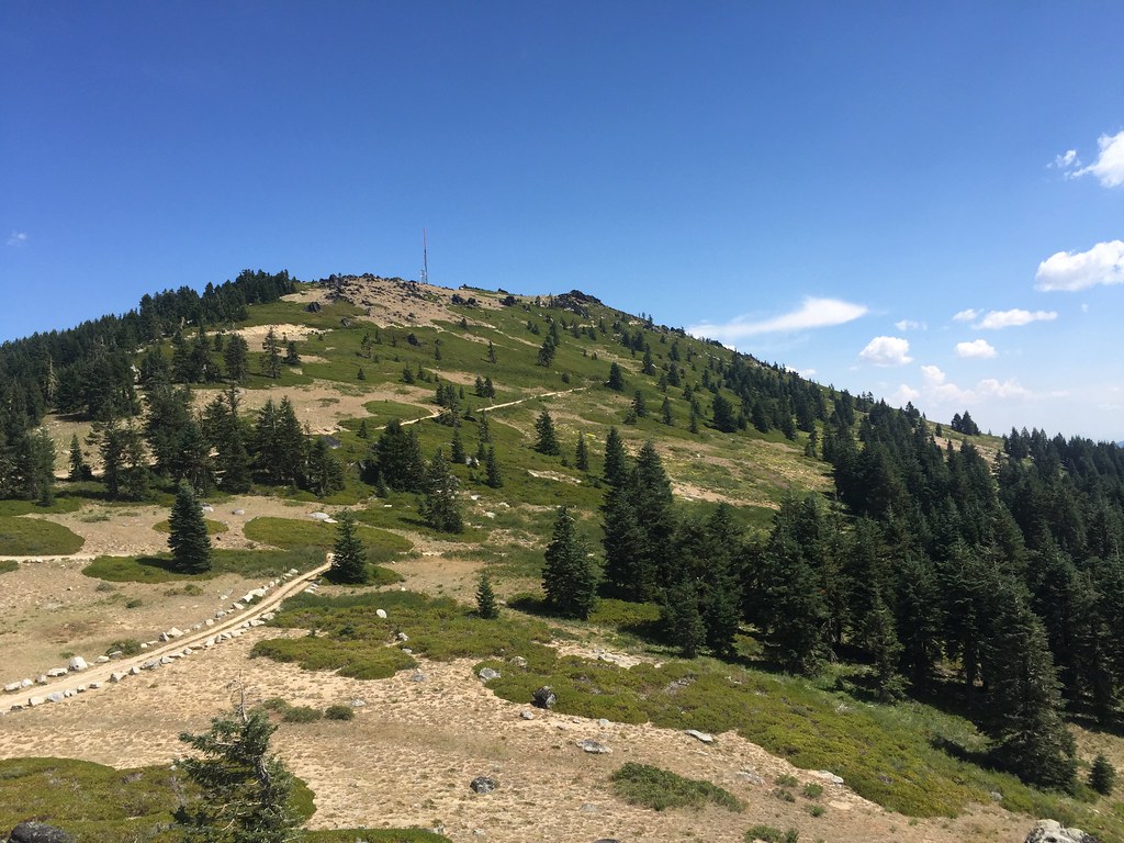 Photo: zappowbang, CC BY-SA 2.0 (via Flickr)
Split Rock
~35 min drive
6.22-mile out-and-back trail in Oregon with 880 ft elevation gain.
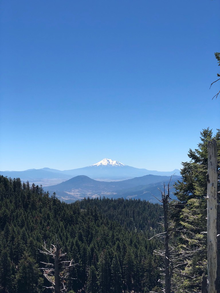 Photo: zappowbang, CC BY-SA 2.0 (via Flickr)
CREST LOOP NORDIC
~35 min drive
4.32-mile out-and-back trail in Oregon with 1,166 ft elevation gain
Photo: NOAACSL, CC BY 2.0 (via Flickr)Kids Trail
~12 min drive
1.28-mile out-and-back hike in California with 204 ft elevation gain
 Photo: BLM Oregon & Washington, CC BY 2.0 (via Wikimedia Commons)
Lone Pilot Trail
~36 min drive
Out-and-back trail exploring Oregon's remote backcountry.
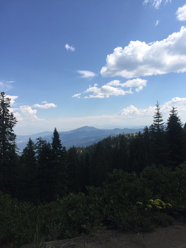 Photo: zappowbang, CC BY-SA 2.0 (via Flickr)
GROUSE CREEK NORDIC
~36 min drive
8.66-mile out-and-back trail in Oregon with 2,866 ft elevation gain/loss
 Photo: zappowbang, CC BY-SA 2.0 (via Flickr)
SUMMIT NORDIC
~36 min drive
2.76-mile out-and-back trail in Oregon with 1,173 ft elevation gain/loss
Photo: BLM Oregon & Washington, CC BY-SA 2.0 (via Flickr)Pilot Rock
~34 min drive
Out-and-back hike to a scenic volcanic summit with high desert views.
