Pct - Oregon Section B
 Photo: BLM Oregon & Washington, CC BY-SA 2.0 (via Flickr)
- 54.1 mi
- one way
- 7,464 ft
- climb
- 6,186 ft
- high point
- Point to point
- route
- May–Oct
- best months
Pct - Oregon Section B is a 54-mile point-to-point route in southern Oregon, crossing the Soda Mountain Wilderness and the Bureau of Land Management's Medford Ashland Field Office. The trail rises from about 5,100 feet to a high point of 6,186 feet, with a total elevation gain of 7,464 feet. It is a long, steady climb, and the route is rated expert. The trail is open to horses, and bikes are not allowed. The Bureau of Land Management manages the land. Summer is the most comfortable time to go. Typical averages from the Howard Prairie Dam weather station, about 17 miles away, show July and August highs near 79°F with only two or three wet days a month. Winter brings highs in the mid-30s and regular snow days. The trip takes about 22 hours. Pilot Rock lies just 0.2 miles away, and Lone Pilot Trail is about 2.4 miles off. Boccard Point Trail and Mt Ashland campground are both within about 8 miles.
Local outfitters
- Momentum River Expeditions14 mi away
- Ashland Family YMCA14 mi away
Not on Roamze yet. Their page has how to reach them.
Best time to go · May–Oct
Best time to visit Pct - Oregon Section B
Best months: May–October. Best months have typical highs of 55–85 °F, lows of 30 °F or warmer (32 °F where the station doesn't record snow), at most one snowy day and no more than 12 wet days.
Jan
36° / 23°
15 wet · 9 snow
Feb
40° / 23°
14 wet · 8 snow
Mar
45° / 26°
16 wet · 8 snow
Apr
50° / 29°
13 wet · 4 snow
May
60° / 36°
11 wet · 1 snow
Jun
68° / 40°
5 wet
Jul
79° / 47°
3 wet
Aug
79° / 46°
2 wet
Sep
72° / 40°
4 wet
Oct
58° / 33°
8 wet · 1 snow
Nov
42° / 28°
13 wet · 5 snow
Dec
35° / 23°
15 wet · 9 snow
Typical high / low (°F) and days with rain or snow, 1991–2020. Measured at Howard Prairie Dam, OR, 16.8 mi away at 4,567 ft. The station sits about 1,600 ft lower than this place, so expect it a little cooler here. Source: NOAA NCEI U.S. Climate Normals 1991–2020.
Keep exploring — more trails worth the drive
Photo: BLM Oregon & Washington, CC BY-SA 2.0 (via Flickr)Pilot Rock
Next door
Out-and-back hike to a scenic volcanic summit with high desert views.
 Photo: BLM Oregon & Washington, CC BY 2.0 (via Wikimedia Commons)
Lone Pilot Trail
~4 min drive
Out-and-back trail exploring Oregon's remote backcountry.
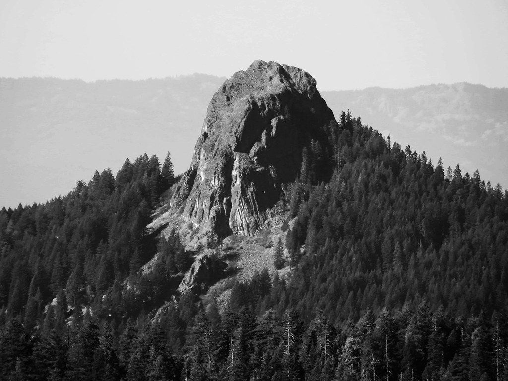 Photo: BLM Oregon & Washington, CC BY-SA 2.0 (via Flickr)
Boccard Point Trail
~8 min drive
3.94-mile out-and-back trail in Oregon with 2,035 ft gain and 5,743 ft max elevation.
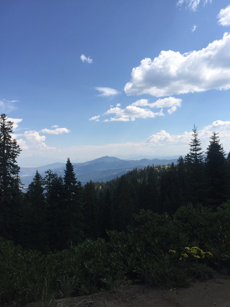 Photo: zappowbang, CC BY-SA 2.0 (via Flickr)
GROUSE CREEK NORDIC
~14 min drive
8.66-mile out-and-back trail in Oregon with 2,866 ft elevation gain/loss
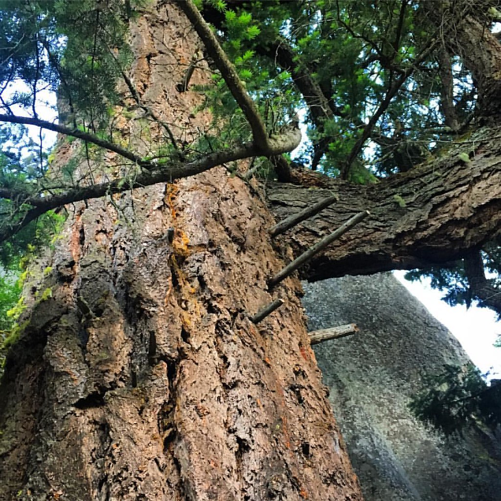 Photo: gregor_y, CC BY-SA 2.0 (via Flickr)
Green Springs Mountain Loop
~14 min drive
0.76-mile point-to-point trail in Oregon with 376 ft elevation gain.
Photo: gregor_y, CC BY-SA 2.0 (via Flickr)Pacific Crest National Scenic Trail
~14 min drive
Epic point-to-point section of the iconic PCT through Oregon's Cascades and high desert.
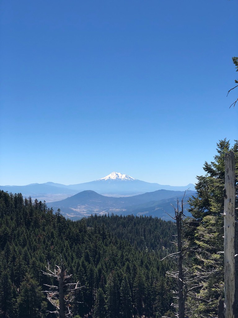 Photo: zappowbang, CC BY-SA 2.0 (via Flickr)
CREST LOOP NORDIC
~12 min drive
4.32-mile out-and-back trail in Oregon with 1,166 ft elevation gain
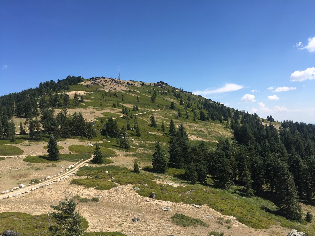 Photo: zappowbang, CC BY-SA 2.0 (via Flickr)
Split Rock
~17 min drive
6.22-mile out-and-back trail in Oregon with 880 ft elevation gain.
 Photo: kallahar, CC BY 3.0 (via Wikimedia Commons)
Marty's
~18 min drive
1.52-mile out-and-back trail in Oregon with 375 ft elevation gain.
HIKE
Pacific Crest National Scenic Trail
~17 min drive
21.12-mile out-and-back on the Pacific Crest National Scenic Trail in Oregon with 4,397 ft gain/loss.


Map and trail data © OpenStreetMap contributors
