Fly
At a glance
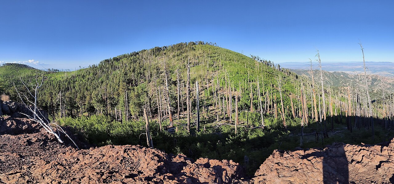
Fly is an easy out-and-back hike in Arizona's Chiricahua Wilderness, on the Douglas Ranger District of Coronado National Forest. The trail runs about 1.5 miles and gains roughly 524 feet, climbing from a low point of 9,065 feet to a high point of 9,607 feet. The Forest Service manages the land, and the trail is a natural-surfaced route that is open year-round. The trail is not accessible. Horses are allowed, but bikes are not. Centella and Long Park Trail #42D both start within a tenth of a mile, so the hike pairs easily with other outings in the immediate area. Bear Wallow, a mountain biking route, lies about 0.7 miles away, and Rustler Park campground is about 1.8 miles off.
- round trip
- 1.5 mi
- climb
- 524 ft
- high point
- 9,607 ft
- route
- Out and back
- time
- About 45 minutes
Where it is: Chiricahua Wilderness · Douglas Ranger District
Near: Rodeo
Been here? Tell people how it was.
 Long Park Trail #42DHikingPhoto: Jon Roanhaus, CC BY-SA 4.0 (via Wikimedia Commons)Next door
- Crest Trail #270DHikingPhoto: Jon Roanhaus, CC BY-SA 4.0 (via Wikimedia Commons)~4 min drive
- Morse CanyonHiking~5 min drive
- SaulsburyHiking~6 min drive
 Barfoot Lookout TrailHikingPhoto: treegrow, CC BY 2.0 (via Flickr)~4 min drive
- Telephone Line TrailHiking~1 min drive
- Mormon CanyonHiking~5 min drive
- Saulsbury Saddle Trail #263AHiking~3 min drive
- Ojo Agua FriaHiking~4 min drive
- Ida PeakHiking~8 min drive
Conditions and forecast on Flys Peak
Caution at last checkAgency alerts are in effect for this areaUSFS · checked 17 h agoDaily highs and lows, wind and the chance of precipitation at the summit and route start for the next 7 days, from the Open-Meteo model.

Ask about this place
Questions about Fly: conditions, access, timing. Answers say when something isn't known.
Questions about this route
How long is the Fly on Flys Peak?
About 1.5 mi round trip.
How much elevation gain is on the Fly?
About 524 ft of climbing round trip.
How hard is the Fly?
It is rated easy.
How long does the Fly take?
About 45 minutes round trip.
When is the best time for the Fly?
Year-round.
