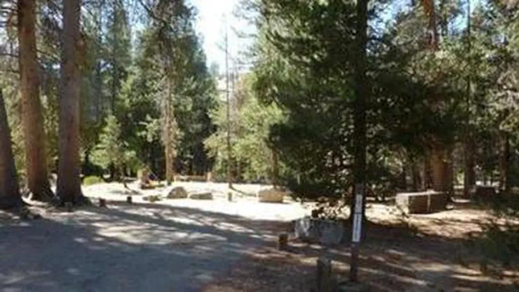
East Lake
Campground
1.7 mi from the trail
East Lake is a 3-mile out-and-back hike in California's Dinkey Lakes Wilderness, part of the High Sierra Ranger District of Sierra National Forest. The trail climbs from a low point of 8,545 feet to a high of 9,392 feet, with an elevation gain of 834 feet one way. The nearest town is Dinkey Creek, about 9 miles away, and the Forest Service manages the land. The route is rated hard, and it is not an accessible trail. Bikes are not allowed, and the surface is natural. Summer is the most comfortable time to go. Typical averages from a nearby weather station at Mammoth Lakes show July highs around 78°F with lows near 49°F, while temperatures on this trail run cooler because the station sits about 1,600 feet lower. The trail starts close to Helms Meadow and Bullfrog Lake, both mountain biking areas within a mile. Helms Creek, a canoeing spot, is about 2.6 miles away, and Voyager Rock campground is about 4.5 miles off.
Where it is: Dinkey Lakes Wilderness · High Sierra Ranger District
Near: Shaver Lake
Best months: May–September. Best months have typical highs of 55–85 °F, lows of 30 °F or warmer (32 °F where the station doesn't record snow), at most one snowy day and no more than 12 wet days.
Jan
41°
17°
Feb
41°
18°
Mar
45°
22°
Apr
51°
27°
May
60°
35°
Jun
70°
42°
Jul
78°
49°
Aug
77°
47°
Sep
71°
40°
Oct
61°
30°
Nov
49°
23°
Dec
41°
17°
Typical high / low (°F) and days with rain or snow, 1991–2020. Measured at Mammoth Lakes Rs, CA, 34 mi away at 7,804 ft. The station sits about 1,600 ft lower than this place, so expect it a little cooler here. This station doesn't record snowfall. Source: NOAA NCEI U.S. Climate Normals 1991–2020.
Been here? Tell people how it was.
 Blackcap TrailHikingPhoto: Kurt Minard, CC BY-SA 3.0 (via Wikimedia Commons)~8 min drive
 Hobbler LakeHikingPhoto: Kurt Minard, CC BY-SA 3.0 (via Wikimedia Commons)~9 min drive
 Thompson LakeHikingPhoto: Tom Hilton, CC BY 2.0 (via Flickr)~12 min drive
 Florence Ferry TrailHikingPhoto: Tom Hilton, CC BY 2.0 (via Flickr)~13 min drive
 Hell for Sure TrailHikingPhoto: jason.c.hansen, CC BY 2.0 (via Flickr)~13 min drive
 Burnt CorralHikingPhoto: Tom Hilton, CC BY 2.0 (via Flickr)~9 min driveFrazierHikingPhoto: Kurt Minard, CC BY-SA 3.0 (via Wikimedia Commons)~8 min drive
Daily highs and lows, wind and the chance of precipitation at Start for the next 7 days, from the Open-Meteo model.
Questions about East Lake: conditions, access, timing. Answers say when something isn't known.
East Lake
Campground
Places © OpenStreetMap contributors
More in Shaver LakeNot on Roamze yet. Their page has how to reach them.
