Jackass Meadow
Campground
Campground · 1.8 mi from the trail
 Photo: Tom Hilton, CC BY 2.0 (via Flickr)
Caution at last check
Agency alerts are in effect for this area; weather is good · USFS, OpenWeather · checked 22 h ago
Closure in the area
There's a closure order in Sierra National Forest. It doesn't name Thompson Lake, so check the source for the area it covers (3 listed).
Safety Tips for Burned Areas: Garnet Fire Area
Agency closure covering Sierra National Forest · USFS · Sierra National Forest
Wilderness Food and Refuse Storage
Agency closure covering Sierra National Forest · Order 05-15-00-26-03 · USFS · Sierra National Forest
Food and Refuse Storage
Agency closure covering Sierra National Forest · Order 05-15-00-26-02 · USFS · Sierra National Forest
Forest Order removes Fish Camp, Soda Springs, and Little Jackass from closure list
Agency alert covering Sierra National Forest · Order 05-15-00-26-11 · USFS · Sierra National Forest
Ansel Adams and John Muir Wilderness Campfire Restrictions
Agency alert covering Sierra National Forest · Order 05-15-00-26-09 · USFS · Sierra National Forest
As of · Source: USFS · Sierra National Forest. Agencies don't list every closure — check before you go.
Thompson Lake is a hard hike in the John Muir Wilderness, part of the High Sierra Ranger District of Sierra National Forest in California. The nearest town is Mono Hot Springs, about 6 miles away. The route is an out-and-back that climbs from about 7,600 feet to about 10,200 feet, with a total gain of roughly 2,600 feet. The trail is natural-surface and not accessible. Horses are allowed, but bikes are not. The Forest Service manages the land. Florence Lake and Dutch Oven are both hikes within about a mile and a half. Jackass Meadow campground is about 2 miles away, and Ward Lake campground is about 3.5 miles away.
Jackass Meadow
Campground
Places © OpenStreetMap contributors
More in Shaver LakeNot on Roamze yet. Their page has how to reach them.
Photo: Tom Hilton, CC BY 2.0 (via Flickr)Florence Lake
~2 min drive
Remote 30-mile Sierra Nevada backcountry trek to alpine lakes.
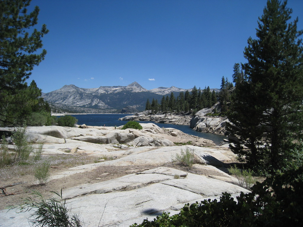 Photo: GSEC, CC BY 2.0 (via Flickr)
Crater Lake
~3 min drive
0.34-mile out-and-back trail to Crater Lake in California with 138 ft of elevation gain.
Photo: GSEC, CC BY 2.0 (via Flickr)CRATER LAKE
~3 min drive
6.96-mile out-and-back trail in California with 2,226 ft elevation gain
HIKE
EDISON LAKE
~9 min drive
16.32-mile out-and-back trail in California with 2,800 ft elevation gain and loss.
 Photo: GSEC, CC BY 2.0 (via Flickr)
Poison Meadow
~7 min drive
3.10-mile out-and-back trail in California with 683 ft elevation gain.
 Photo: Tom Hilton, CC BY 2.0 (via Flickr)
Florence Ferry Trail
~3 min drive
1.0-mile out-and-back hike in California with 391 ft elevation gain and loss.
 Photo: GSEC, CC BY 2.0 (via Flickr)
Bear Creek Cutoff
~11 min drive
5.96-mile loop trail in California with 1,637 ft elevation gain
 Photo: Tom Hilton, CC BY 2.0 (via Flickr)
Burnt Corral
~8 min drive
9.84-mile out-and-back trail in California with 54 ft elevation gain.
 Photo: Tom Hilton, CC BY 2.0 (via Wikimedia Commons)
SALLIE KEYS CUTOFF
~9 min drive
1.22-mile out-and-back trail in California with 620 ft gain and 620 ft loss.
 Photo: Tom Hilton, CC BY 2.0 (via Flickr)
Hot Springs Pass Trail
~3 min drive
4.12-mile out-and-back trail in California with 1,739 ft elevation gain and loss.
