Jackass Meadow
Campground
Campground · 2.8 mi from the trail
 Photo: Tom Hilton, CC BY 2.0 (via Flickr)
Closure in the area
There's a closure order in Sierra National Forest. It doesn't name Florence Ferry Trail, so check the source for the area it covers (3 listed).
Safety Tips for Burned Areas: Garnet Fire Area
Agency closure covering Sierra National Forest · USFS · Sierra National Forest
Wilderness Food and Refuse Storage
Agency closure covering Sierra National Forest · Order 05-15-00-26-03 · USFS · Sierra National Forest
Food and Refuse Storage
Agency closure covering Sierra National Forest · Order 05-15-00-26-02 · USFS · Sierra National Forest
Forest Order removes Fish Camp, Soda Springs, and Little Jackass from closure list
Agency alert covering Sierra National Forest · Order 05-15-00-26-11 · USFS · Sierra National Forest
Ansel Adams and John Muir Wilderness Campfire Restrictions
Agency alert covering Sierra National Forest · Order 05-15-00-26-09 · USFS · Sierra National Forest
As of · Source: USFS · Sierra National Forest. Agencies don't list every closure — check before you go.
Florence Ferry Trail is an easy, short out-and-back hike in California's John Muir Wilderness, within the High Sierra Ranger District of Sierra National Forest. The trail's route is about a mile long, with a one-way climb of about 50 feet. That makes it a quick outing, and the Forest Service manages the land. The nearest town is Mono Hot Springs, about 7 miles away. The trail starts at about 7,600 feet and reaches a high point of about 7,609 feet, with a back-loaded climb that peaks at around 17% grade about 0.15 miles in. It's an easy walk, and the trip takes roughly half an hour. Summer is the most comfortable time to go. At Huntington Lake, a nearby weather station, July and August typically average highs around 74°F with lows near 49°F and only one or two wet days a month. That station sits roughly 600 feet lower than the trail, so temperatures on the hike run a bit cooler. Nearby, Hot Springs Pass and Hot Springs Pass Trail are both within about 2 miles. Thompson Lake is about 1.7 miles off, and Jackass Meadow campground is about 2.8 miles away.
Jackass Meadow
Campground
Places © OpenStreetMap contributors
More in Shaver LakeNot on Roamze yet. Their page has how to reach them.
 Hot Springs PassHikingPhoto: Tom Hilton, CC BY 2.0 (via Flickr)0.9 mi
 Thompson LakeHikingPhoto: Tom Hilton, CC BY 2.0 (via Flickr)1.7 miHot Springs Pass TrailHikingPhoto: Tom Hilton, CC BY 2.0 (via Flickr)1.9 mi
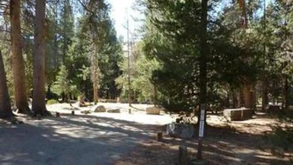 Jackass MeadowCampingPhoto: Recreation.gov (RIDB) / public domain2.8 mi
 South Fork San Joaquin RiverCanoeingPhoto: The Greater Southwestern Exploration Company from Long Beach, California, United States, CC BY 2.0 (via Wikimedia Commons)5.9 mi
Source: Roamze catalog (indexable pages within 10 miles, PostGIS distance)
Hot Springs PassHiking · ~2 min drivePhoto: Tom Hilton, CC BY 2.0 (via Flickr)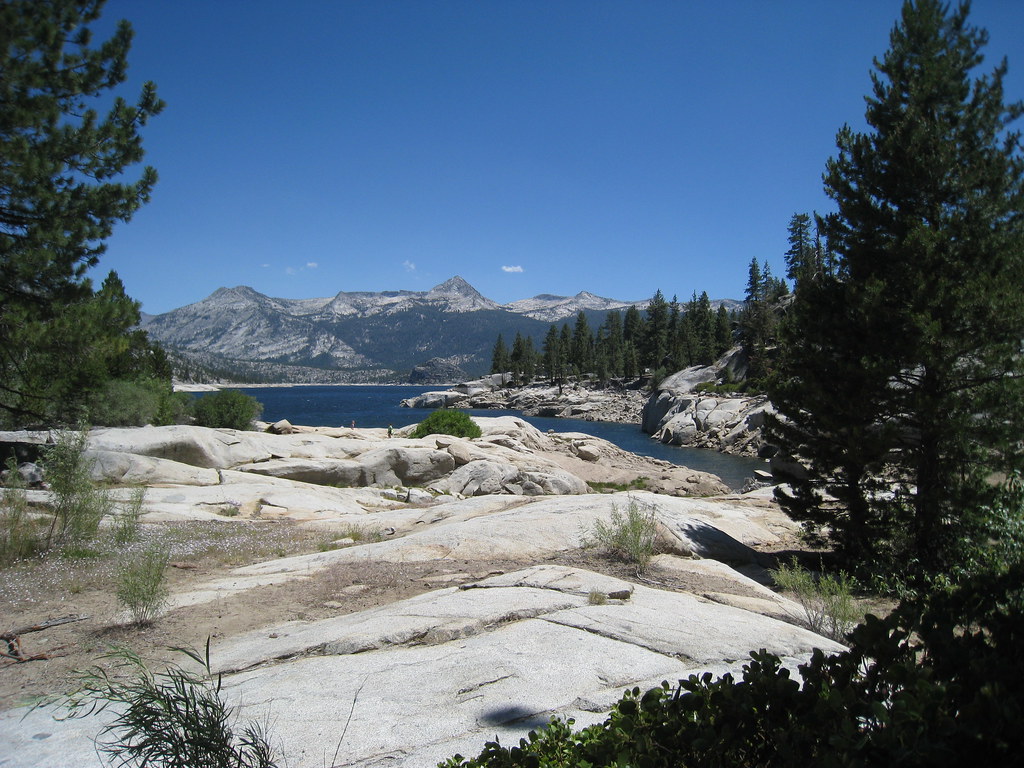 Crater LakeHiking · ~5 min drivePhoto: GSEC, CC BY 2.0 (via Flickr)
 Bear Creek CutoffHiking · ~12 min drivePhoto: GSEC, CC BY 2.0 (via Flickr)Thompson LakeHiking · ~3 min drivePhoto: Tom Hilton, CC BY 2.0 (via Flickr)
 SALLIE KEYS CUTOFFHiking · ~6 min drivePhoto: Tom Hilton, CC BY 2.0 (via Wikimedia Commons)Hot Springs Pass TrailHiking · ~3 min drivePhoto: Tom Hilton, CC BY 2.0 (via Flickr)Florence LakeHiking · ~4 min drivePhoto: Tom Hilton, CC BY 2.0 (via Flickr)Sallie Keyes Cutoff TrailHiking · ~6 min drivePhoto: Tom Hilton, CC BY 2.0 (via Wikimedia Commons)CRATER LAKEHiking · ~5 min drivePhoto: GSEC, CC BY 2.0 (via Flickr)
Best months: May–October. Best months have typical highs of 55–85 °F, lows of 30 °F or warmer (32 °F where the station doesn't record snow), at most one snowy day and no more than 12 wet days.
Jan
43° / 24°
11 wet
Feb
44° / 23°
11 wet
Mar
46° / 26°
10 wet
Apr
50° / 29°
8 wet
May
56° / 36°
6 wet
Jun
66° / 42°
3 wet
Jul
74° / 49°
2 wet
Aug
74° / 49°
1 wet
Sep
68° / 44°
2 wet
Oct
58° / 37°
4 wet
Nov
49° / 31°
8 wet
Dec
44° / 25°
10 wet
Typical high / low (°F) and days with rain or snow, 1991–2020. Measured at Huntington Lake, CA, 15.6 mi away at 7,020 ft. The station sits about 600 ft lower than this place, so expect it a little cooler here. This station doesn't record snowfall. Source: NOAA NCEI U.S. Climate Normals 1991–2020.
Map and trail data © OpenStreetMap contributors
