Mount Rose (nv)
Campground
1.9 mi from the trail
Mt. Rose Peak is a hard hike in the Carson Ranger District of Nevada's Humboldt-Toiyabe National Forest, about 5 miles from the small community of Tyrolian Village. The route is an out-and-back of roughly 6.4 miles, with a one-way elevation gain of about 1,673 feet, climbing from a low point of about 9,067 feet to the peak's summit at about 10,766 feet. The trail is on natural surface and allows horses, but bikes are not permitted. The Forest Service manages the land. The peak sits close to several other destinations. The TRT: Tahoe Meadows to Spooner Summit trail is about half a mile away, and Mt Houghton is about 0.8 mile off. The Tahoe Rim Trail passes about 1.1 mile from the route. Mt. Rose Campground, about 1.9 miles away, offers a place to camp.
Where it is: Carson Ranger District · Humboldt-Toiyabe National Forest
Near: Reno
Been here? Tell people how it was.
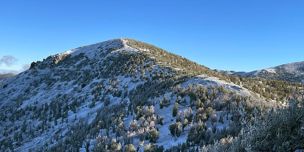 Mt HoughtonHikingPhoto: Mitch Barrie — Wikimedia Commons (CC BY-SA 4.0)0.8 mi
 Tamarack Lake TrailHikingPhoto: simonov — CC BY-SA 2.0 (via Flickr)~3 min drive
 Third Creek TrailHikingPhoto: simonov, CC BY-SA 2.0 (via Flickr)~3 min drive
 Rim to RenoHikingPhoto: Ken Lund from Reno, Nevada, USA, CC BY-SA 2.0 (via Wikimedia Commons)~4 min drive
 Allison RidgeHikingPhoto: inkknife_2000 (7.5 million views +), CC BY-SA 2.0 (via Wikimedia Commons)~6 min drive
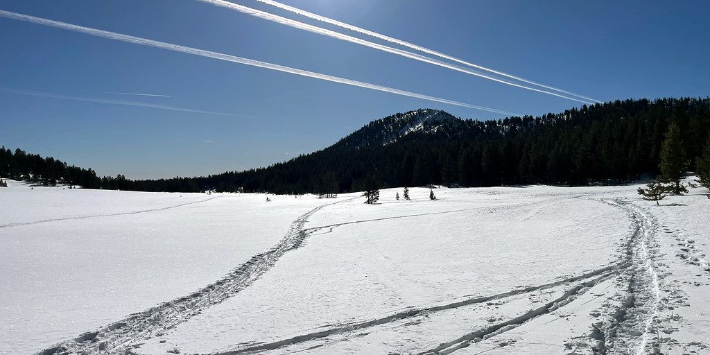 Upper Meadow LoopHikingPhoto: simonov, CC BY-SA 2.0 (via Flickr)~3 min drive
 Incline Flume TrailHikingPhoto: Ken Lund from Reno, Nevada, USA, CC BY-SA 2.0 (via Wikimedia Commons)~6 min driveGray Lake Trail (Mt. Rose)HikingPhoto: simonov, CC BY-SA 2.0 (via Flickr)~3 min drive
 Incline LakeHikingPhoto: simonov, CC BY-SA 2.0 (via Flickr)~3 min drive
 JonesHikingPhoto: simonov, CC BY-SA 2.0 (via Flickr)~6 min drive
Also worth it near here
 Mount RoseSummitPhoto: Mr. Richard from Fair Oaks, USA, CC BY 2.0 (via Wikimedia Commons)~2 min drive
 Tahoe Meadows Interpretive TraMountain bikingPhoto: Famartin, CC BY-SA 4.0 (via Wikimedia Commons)~3 min drive
 Mount Rose Ski TahoeDownhill skiingPhoto: Beesmill, CC BY-SA 4.0 (via Wikimedia Commons)~4 min drive
Daily highs and lows, wind and the chance of precipitation at the summit and route start for the next 7 days, from the Open-Meteo model.
Questions about Mt. Rose Peak: conditions, access, timing. Answers say when something isn't known.
Mount Rose (nv)
Campground
Fox Cultural Hall
Museum
Places © OpenStreetMap contributors, Places © Overture Maps Foundation
More in Sunnyside-Tahoe CityNot on Roamze yet. Their page has how to reach them.
About 6.4 mi round trip.
About 1,673 ft of climbing round trip.
It is rated hard.
About 3 hours round trip.
Year-round.
