Post Exercise Loop
At a glance
Post Exercise Loop is a 1.6-mile loop hike on White Sands Missile Range in New Mexico. It is an easy walk with a total elevation gain of 82 feet, so it is a short, low-commitment outing. The route sits at about 4,300 feet, with the high point at 4,317 feet and the low point at 4,284 feet. The climb is flat, and the steepest stretch comes early, around 0.13 miles from the start, with a grade of about 2 percent. Spring and fall are the most comfortable times to visit. Typical averages from a nearby weather station show April highs around 78°F and October highs around 80°F, while July and August average highs of 96°F. The loop takes about half an hour to complete. The closest climbing areas are East Slabs, about 3.5 miles away, and Snake Den and The Flounder, both about 3.6 miles out. For an overnight stay, Aguirre Spring Recreation Area and Campground is about 4 miles from the trail.
- loop
- 1.6 mi
- climb
- 82 ft
- high point
- 4,317 ft
- route
- Loop
- time
- About 30 minutes
- best months
- Mid-Jan–late Apr, mid-Oct–mid-Dec
Where it is: White Sands Missile Range
Near: Las Cruces
Best weeks to go
Mid-January to late April and mid-October to mid-December are usually best for hiking here.
Typical highs of 58–79°F and lows of 30°F or warmer in those weeks.
Typical weather: NOAA 1991–2020 normals at State Univ, NM, 17 mi away. Not a forecast.
Typical weather by monthBest time to visit Post Exercise Loop
Best months: October–April. Best months are the ones mostly made of the best weeks for hiking: typical temperatures in its comfortable range, few snowy days and not usually wet, judged with the same limits as our good-day forecasts.
Jan
59°
30°
3 wet
Feb
64°
34°
3 wet
Mar
71°
39°
2 wet
Apr
78°
46°
1 wet
May
87°
54°
2 wet
Jun
96°
64°
4 wet
Jul
96°
69°
8 wet
Aug
94°
68°
8 wet
Sep
88°
61°
5 wet
Oct
80°
48°
4 wet
Nov
68°
37°
3 wet
Dec
58°
30°
3 wet
Typical high / low (°F) and days with rain or snow, 1991–2020. Measured at State Univ, NM, 17.1 mi away at 3,886 ft. Source: NOAA NCEI U.S. Climate Normals 1991–2020.
Been here? Tell people how it was.
- East SlabsRock climbing3.5 mi
- Snake DenRock climbing3.6 mi
 The FlounderRock climbingPhoto: uıɐɾ ʞ ʇɐɯɐs, CC BY-SA 2.0 (via Flickr)3.6 mi
 NIMBY BoulderRock climbingPhoto: Alex Abair, CC BY 4.0 (via Wikimedia Commons)3.6 mi
- Indian Hollow TrailHikingPhoto: Alex Abair, CC BY 4.0 (via Wikimedia Commons)3.8 mi
- Aguirre Spring Recreation Area and CampgroundCamping4 mi
- Pine Tree LoopHikingPhoto: uıɐɾ ʞ ʇɐɯɐs, CC BY-SA 2.0 (via Flickr)4.1 mi
- Baylor Canyon PassHikingPhoto: uıɐɾ ʞ ʇɐɯɐs, CC BY-SA 2.0 (via Flickr)4.2 mi
- Indian Hollow TrailHikingPhoto: Alex Abair, CC BY 4.0 (via Wikimedia Commons)~6 min drive
- Baylor Canyon PassHikingPhoto: uıɐɾ ʞ ʇɐɯɐs, CC BY-SA 2.0 (via Flickr)~7 min drive
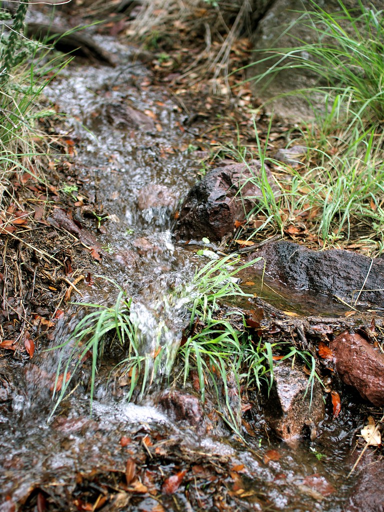 Crawford TrailHikingPhoto: uıɐɾ ʞ ʇɐɯɐs, CC BY-SA 2.0 (via Flickr)~11 min drive
- Pine Tree LoopHikingPhoto: uıɐɾ ʞ ʇɐɯɐs, CC BY-SA 2.0 (via Flickr)~7 min drive
- Sierra Vista TrailHiking~16 min drive
- La Cueva TrailHikingPhoto: uıɐɾ ʞ ʇɐɯɐs, CC BY-SA 2.0 (via Flickr)~12 min drive
 Organ Peak TrailHikingPhoto: uıɐɾ ʞ ʇɐɯɐs, CC BY-SA 2.0 (via Flickr)~9 min drive
- La Maria TrailHiking~18 min drive
 Dripping Springs TrailHikingPhoto: uıɐɾ ʞ ʇɐɯɐs, CC BY-SA 2.0 (via Flickr)~12 min drive
- Organ Needle TrailHikingPhoto: uıɐɾ ʞ ʇɐɯɐs, CC BY-SA 2.0 (via Flickr)~9 min drive
Also worth it near here
Conditions and forecast
Daily highs and lows, wind and the chance of precipitation at Start for the next 7 days, from the Open-Meteo model.

Ask about this place
Questions about Post Exercise Loop: conditions, access, timing. Answers say when something isn't known.
Map and trail data © OpenStreetMap contributors
