Sierra Vista Trail
- 29.6 mi
- round trip
- 1,906 ft
- climb
- 5,133 ft
- high point
- Out and back
- route
- Oct–Apr
- best months
Sierra Vista Trail is a long, hard hike on Bureau of Land Management land in New Mexico, within the Las Cruces District Office. The route is an out-and-back that climbs from about 4,030 feet to about 5,133 feet, with a total elevation gain of 1,906 feet over a round-trip distance of about 59 miles. Spring and fall are the most comfortable times to go. Typical averages from a nearby weather station show April highs around 78°F and October highs around 80°F, while June and July average highs near 96°F. That station sits roughly 1,200 feet lower than the trail's high point, so temperatures on the summit run cooler. The Soledad Canyon Multi-Use Path starts just 0.1 mile away, and the La Maria Trail and Dripping Springs Trail are both within about 3 miles. For an overnight stay, Aguirre Spring Recreation Area and Campground is about 6 miles off.
- Soledad Canyon Multi-Use PathHiking0.1 mi
- La Maria TrailHiking2.2 mi
 Dripping Springs TrailHikingPhoto: uıɐɾ ʞ ʇɐɯɐs, CC BY-SA 2.0 (via Flickr)2.7 mi
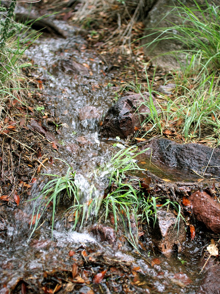 La Cueva TrailHikingPhoto: uıɐɾ ʞ ʇɐɯɐs, CC BY-SA 2.0 (via Flickr)2.8 mi
- Shady SideRock climbingPhoto: uıɐɾ ʞ ʇɐɯɐs, CC BY-SA 2.0 (via Flickr)3 mi
- Sunny SideRock climbingPhoto: uıɐɾ ʞ ʇɐɯɐs, CC BY-SA 2.0 (via Flickr)3 mi
- Modoc Mine RoadRock climbing3.8 mi
- Aguirre Spring Recreation Area and CampgroundCamping6 mi
Source: Roamze catalog (indexable pages within 10 miles, PostGIS distance)
- Dripping Springs TrailHiking · ~5 min drivePhoto: uıɐɾ ʞ ʇɐɯɐs, CC BY-SA 2.0 (via Flickr)
 Lower Organ Needle TrailHiking · ~6 min drivePhoto: uıɐɾ ʞ ʇɐɯɐs, CC BY-SA 2.0 (via Flickr)
 Baylor Canyon PassHiking · ~10 min drivePhoto: uıɐɾ ʞ ʇɐɯɐs, CC BY-SA 2.0 (via Flickr)
- La Cueva TrailHiking · ~5 min drivePhoto: uıɐɾ ʞ ʇɐɯɐs, CC BY-SA 2.0 (via Flickr)
 Organ Peak TrailHiking · ~7 min drivePhoto: uıɐɾ ʞ ʇɐɯɐs, CC BY-SA 2.0 (via Flickr)
- La Maria TrailHiking · ~4 min drive
- Fillmore TrailHiking · ~5 min drivePhoto: uıɐɾ ʞ ʇɐɯɐs, CC BY-SA 2.0 (via Flickr)
- Organ Needle TrailHiking · ~7 min drivePhoto: uıɐɾ ʞ ʇɐɯɐs, CC BY-SA 2.0 (via Flickr)
- Arroyo TrailHiking · ~5 min drivePhoto: uıɐɾ ʞ ʇɐɯɐs, CC BY-SA 2.0 (via Flickr)
- Pine Tree LoopHiking · ~10 min drivePhoto: uıɐɾ ʞ ʇɐɯɐs, CC BY-SA 2.0 (via Flickr)
Also worth it near here
Best time to visit Sierra Vista Trail
Best months: October–April. Best months have typical highs of 55–85 °F, lows of 30 °F or warmer (32 °F where the station doesn't record snow), at most one snowy day and no more than 12 wet days.
Jan
59° / 30°
3 wet
Feb
64° / 34°
3 wet
Mar
71° / 39°
2 wet
Apr
78° / 46°
1 wet
May
87° / 54°
2 wet
Jun
96° / 64°
4 wet
Jul
96° / 69°
8 wet
Aug
94° / 68°
8 wet
Sep
88° / 61°
5 wet
Oct
80° / 48°
4 wet
Nov
68° / 37°
3 wet
Dec
58° / 30°
3 wet
Typical high / low (°F) and days with rain or snow, 1991–2020. Measured at State Univ, NM, 8.7 mi away at 3,886 ft. The station sits about 1,200 ft lower than this place, so expect it a little cooler here. Source: NOAA NCEI U.S. Climate Normals 1991–2020.

Map and trail data © OpenStreetMap contributors
