Dripping Springs Trail
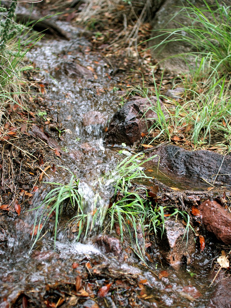
 Photo: uıɐɾ ʞ ʇɐɯɐs, CC BY-SA 2.0 (via Flickr)
- 1.5 mi
- round trip
- 791 ft
- climb
- 6,197 ft
- high point
- Out and back
- route
Dripping Springs Trail is an easy out-and-back hike on Bureau of Land Management land in southern New Mexico, within the Las Cruces District Office. The trail is about 2.9 miles long, and the one-way climb totals 738 feet, carrying hikers from a starting elevation of 5,658 feet to a high point of 6,197 feet. The steepest stretch comes around the middle of the route, at about 1.5 miles in, where the grade reaches 44 percent. The trail is short enough to fit easily into a day spent exploring the surrounding area. La Cueva Trail lies just 0.1 mile away, and Crawford Trail and Lower La Cueva Trail are each about half a mile off. Climbers will find the Shady Side and Sunny Side areas roughly 0.4 mile from the trail. For an overnight stay, Aguirre Spring Recreation Area and Campground sits about 3.3 miles away.
 La Cueva TrailHikingPhoto: uıɐɾ ʞ ʇɐɯɐs, CC BY-SA 2.0 (via Flickr)0.1 mi
- Shady SideRock climbingPhoto: uıɐɾ ʞ ʇɐɯɐs, CC BY-SA 2.0 (via Flickr)0.4 mi
- Sunny SideRock climbingPhoto: uıɐɾ ʞ ʇɐɯɐs, CC BY-SA 2.0 (via Flickr)0.4 mi
- Crawford TrailHikingPhoto: uıɐɾ ʞ ʇɐɯɐs, CC BY-SA 2.0 (via Flickr)0.5 mi
 Lower La Cueva TrailHikingPhoto: uıɐɾ ʞ ʇɐɯɐs, CC BY-SA 2.0 (via Flickr)0.5 mi
- Arroyo TrailHikingPhoto: uıɐɾ ʞ ʇɐɯɐs, CC BY-SA 2.0 (via Flickr)0.6 mi
- Modoc Mine RoadRock climbing1.2 mi
- Aguirre Spring Recreation Area and CampgroundCamping3.3 mi
Source: Roamze catalog (indexable pages within 10 miles, PostGIS distance)
- La Cueva TrailHiking · Next doorPhoto: uıɐɾ ʞ ʇɐɯɐs, CC BY-SA 2.0 (via Flickr)
- Lower Organ Needle TrailHiking · ~1 min drivePhoto: uıɐɾ ʞ ʇɐɯɐs, CC BY-SA 2.0 (via Flickr)
 Baylor Canyon PassHiking · ~6 min drivePhoto: uıɐɾ ʞ ʇɐɯɐs, CC BY-SA 2.0 (via Flickr)
- Crawford TrailHiking · Next doorPhoto: uıɐɾ ʞ ʇɐɯɐs, CC BY-SA 2.0 (via Flickr)
 Organ Needle TrailHiking · ~3 min drivePhoto: uıɐɾ ʞ ʇɐɯɐs, CC BY-SA 2.0 (via Flickr)
- Sierra Vista TrailHiking · ~5 min drive
- Lower La Cueva TrailHiking · Next doorPhoto: uıɐɾ ʞ ʇɐɯɐs, CC BY-SA 2.0 (via Flickr)
- Organ Peak TrailHiking · ~3 min drivePhoto: uıɐɾ ʞ ʇɐɯɐs, CC BY-SA 2.0 (via Flickr)
- La Maria TrailHiking · ~7 min drive
- Arroyo TrailHiking · Next doorPhoto: uıɐɾ ʞ ʇɐɯɐs, CC BY-SA 2.0 (via Flickr)
Also worth it near here

Map and trail data © OpenStreetMap contributors
