The Flounder
6 bouldering routes at Flounder, The in New Mexico.
 Photo: uıɐɾ ʞ ʇɐɯɐs, CC BY-SA 2.0 (via Flickr)
- 6 routes
- V1 – V8
- Bouldering
Best time to visit The Flounder
Best months: March–May and October. Best months have typical highs of 55–85 °F, lows of 30 °F or warmer (32 °F where the station doesn't record snow), at most one snowy day and no more than 12 wet days.
Jan
56° / 23°
3 wet
Feb
62° / 26°
2 wet
Mar
69° / 32°
1 wet
Apr
77° / 39°
1 wet
May
85° / 47°
3 wet
Jun
95° / 59°
3 wet
Jul
94° / 66°
9 wet
Aug
91° / 64°
9 wet
Sep
86° / 56°
5 wet
Oct
77° / 42°
3 wet
Nov
66° / 31°
3 wet
Dec
55° / 23°
4 wet
Typical high / low (°F) and days with rain or snow, 1991–2020. Measured at Las Cruces 20 N, NM, 20.2 mi away at 4,327 ft. The station sits about 1,500 ft lower than this place, so expect it a little cooler here. This station doesn't record snowfall. Source: NOAA NCEI U.S. Climate Normals 1991–2020.
The Flounder is a bouldering area in the Organ Mountains Wilderness of southern New Mexico, on land managed by the Bureau of Land Management's Las Cruces District Office. It sits among a cluster of climbing and hiking spots, with Snake Den just 0.1 mile away and Aguirre Bouldering at 0.2 mile. The area is a bouldering destination, with six routes all rated on the V scale. The easiest are Rio Grande Chub and The Angler, both V1, and the hardest is The Pescatarian at V8. Fish Face and The Poop Scoop (aka Fish Fillet) sit in the V5-6 range. The routes are all boulders, so the area works well for climbers who prefer to stay on the ground. Spring and fall are the most comfortable times to visit. Typical averages from a nearby weather station in Las Cruces show April and October highs around 77°F, while July and August average in the low 90s and bring the most wet days of the year. That station sits about 1,500 feet lower than the boulders, so temperatures up high run cooler. Aguirre Spring Recreation Area and Campground is 0.3 mile away, and the Indian Hollow Trail is a similar distance. The Cactararium climbing area and the Pine Tree Loop hike are both about half a mile off.
Keep exploring — more climbs worth the drive
Photo: uıɐɾ ʞ ʇɐɯɐs, CC BY-SA 2.0 (via Flickr)Cactararium
~1 min drive
Cactararium is a New Mexico climbing area with 9 routes.
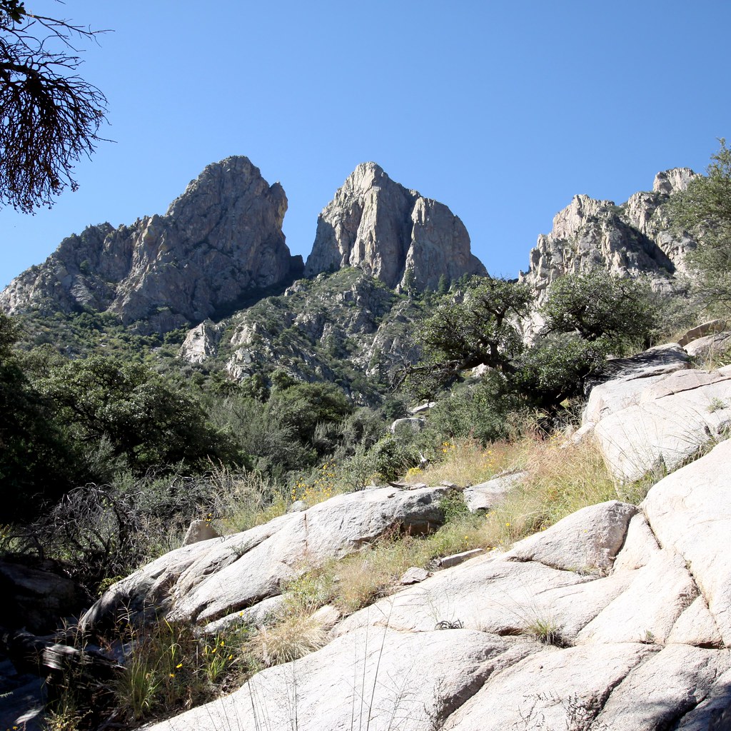 Photo: uıɐɾ ʞ ʇɐɯɐs, CC BY-SA 2.0 (via Flickr)
The Fin
~3 min drive
The Fin in New Mexico has 5 traditional climbing routes across 4 difficulty grades.
Photo: uıɐɾ ʞ ʇɐɯɐs, CC BY-SA 2.0 (via Flickr)North Rabbit Ear
~3 min drive
North Rabbit Ear is a New Mexico climbing crag with 17 traditional routes.
 Photo: Patrick Alexander from Las Cruces, NM, CC0 (via Wikimedia Commons)
The High Horns
~3 min drive
Versatile New Mexico crag with climbing for multiple skill levels.
 Photo: uıɐɾ ʞ ʇɐɯɐs, CC BY-SA 2.0 (via Flickr)
The Low Horns
~3 min drive
Low Horns, The in New Mexico has 18 climbing routes with mixed and trad options.
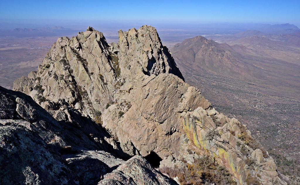 Photo: uıɐɾ ʞ ʇɐɯɐs, CC BY-SA 2.0 (via Flickr)
Little Squaretop Massif
~3 min drive
Little Squaretop Massif in New Mexico has 7 traditional climbing routes across 4 grades.
 Photo: uıɐɾ ʞ ʇɐɯɐs, CC BY-SA 2.0 (via Flickr)
Needle and Squaretops
~3 min drive
Needle and Squaretops in New Mexico has 12 climbing routes.
Photo: uıɐɾ ʞ ʇɐɯɐs, CC BY-SA 2.0 (via Flickr)Organ Needle
~3 min drive
Organ Needle in New Mexico has 5 climbing routes.
 Photo: uıɐɾ ʞ ʇɐɯɐs, CC BY-SA 2.0 (via Flickr)
The Tooth
~3 min drive
Tooth, The in New Mexico has 8 climbing routes across 7 grades, offering sport and trad options.
 Photo: uıɐɾ ʞ ʇɐɯɐs, CC BY-SA 2.0 (via Flickr)
Lesser Spire
~3 min drive
5 traditional climbing routes at Lesser Spire in New Mexico.


