Loading…

Free — you'll pick up right here.
Watch this trail
Sign up to watch it — saving subscribes you to gate, closure and report changes.
New Mexico
2.1 mi
Distance
2,158 ft
Gain
No agency boundary, access route or field report is mapped to it — so there is no verdict, and we won't guess. We'll tell you the moment this trail has something to say.
Covered nearby
Trails within 25 miles where we do have a current picture.
Nobody's filed a report here yet — be the first.
Why you'll love it
Organ Peak Trail
AI-suggested draft · review before you go
No permit or access details on file for this trail — check with the local land manager before you go.
Organ Peak Trail offers a challenging ascent through the rugged Organ Mountains with dramatic elevation gain concentrated over a short distance. This steep trail rewards hikers with expansive views of the surrounding desert landscape and access to one of New Mexico's most distinctive peaks. The exposed terrain and significant vertical relief make this a strenuous but popular destination for experienced hikers.
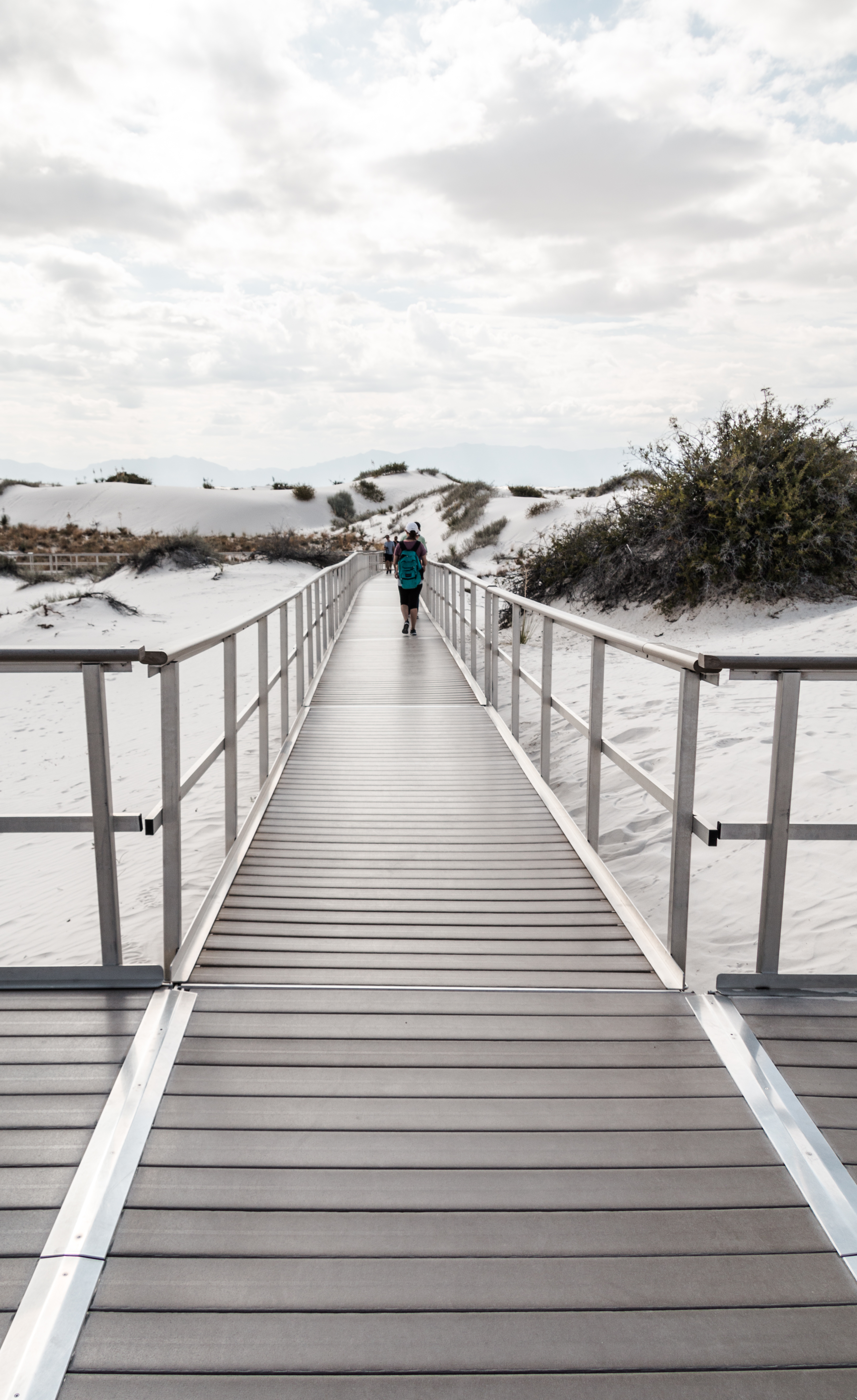
Interdune Boardwalk
~1h 3m drive
<p>The Interdune Boardwalk is fully accessible for people using wheelchairs and strollers. Take an easy 0.4 mile (650m) round trip stroll through the dunes and learn about the science, geology, plants, and animals that make White Sands an unequaled natural wonder. The boardwal…
Lower San Andres
~1h 24m drive
Moderate desert trail in the San Andres Mountains with 868 ft elevation gain.
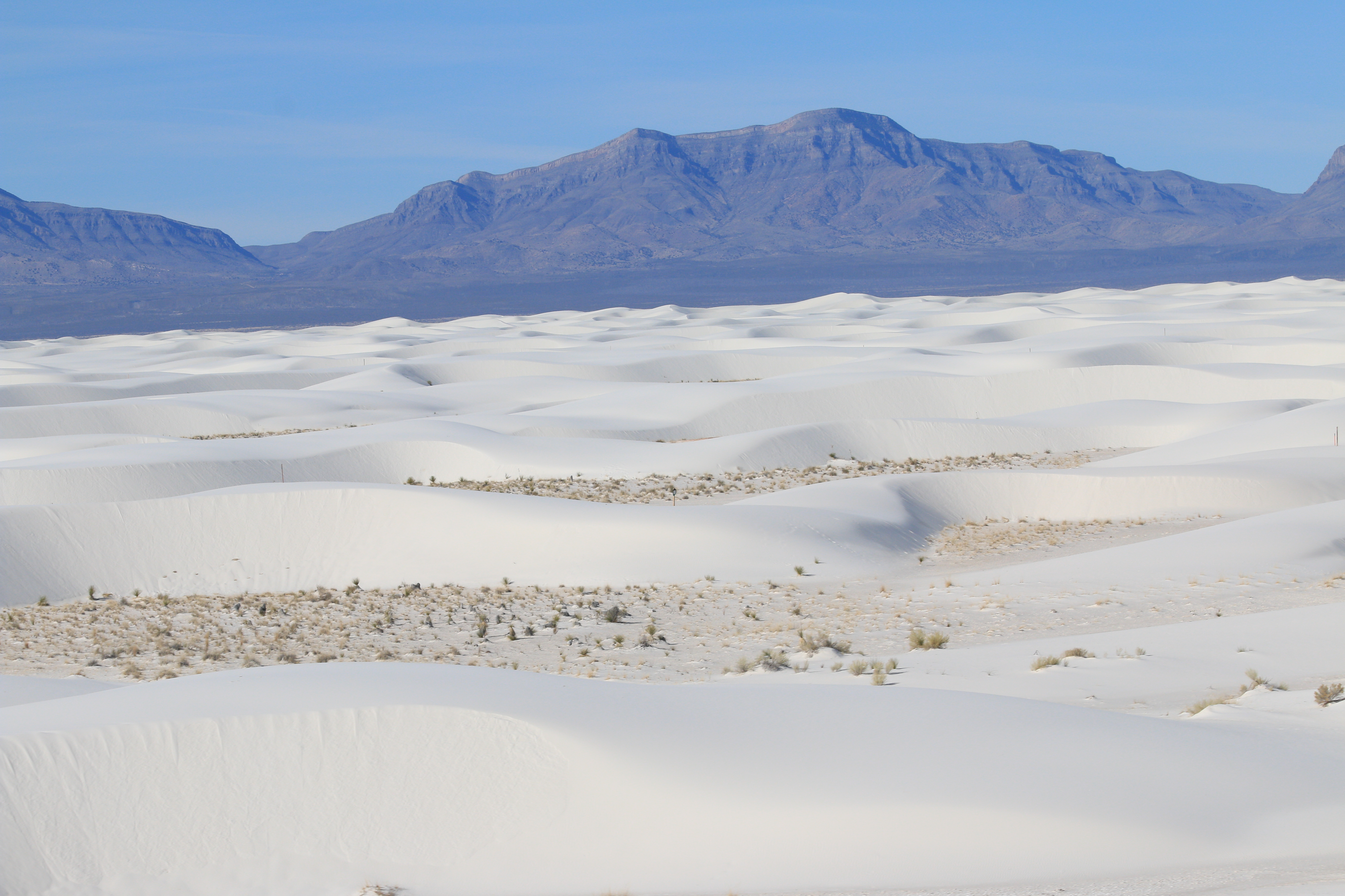
Backcountry Camping Loop Trail
~1h 4m drive
<p>The Backcountry Camping Loop Trail is a moderate, 2-mile (3.5 km) roundtrip hike. Though backpackers hike the trail most frequently, it is also open to visitors who want a shorter hike through the heart of the dunes. Follow the orange trail markers with a spade symbol into…
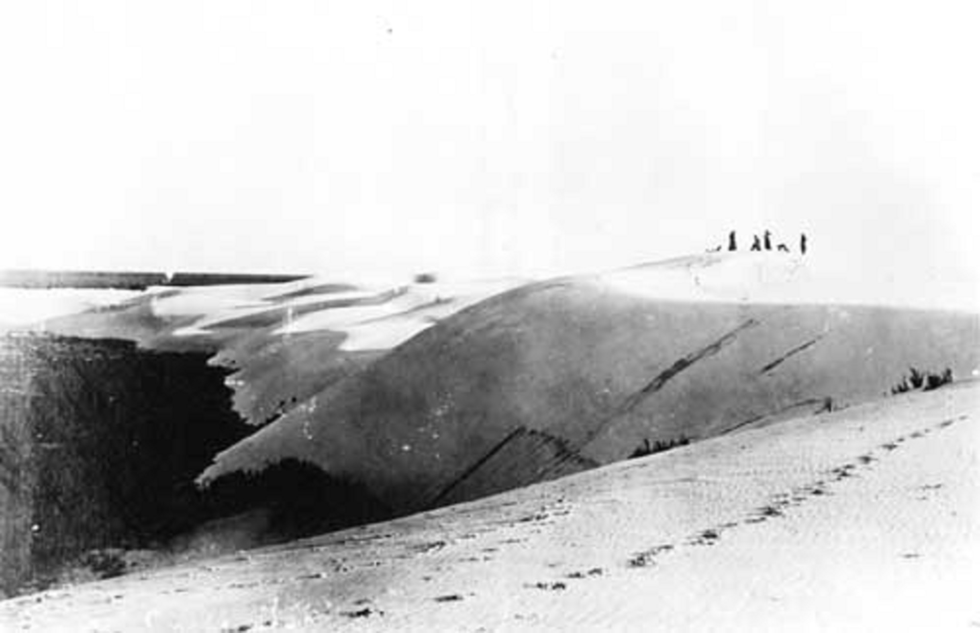
First Stop of Backcountry Camping Loop Trail Tour
~1h 4m drive
<p>Welcome to White Sands National Park’s digital self-guided tour! If you see the Backcountry Camping Loop Trailhead in front of you, you’re in the right place.<br /> <br /> White Sands is far more than just a sandbox. Over time, this land has been home to countless creatures…
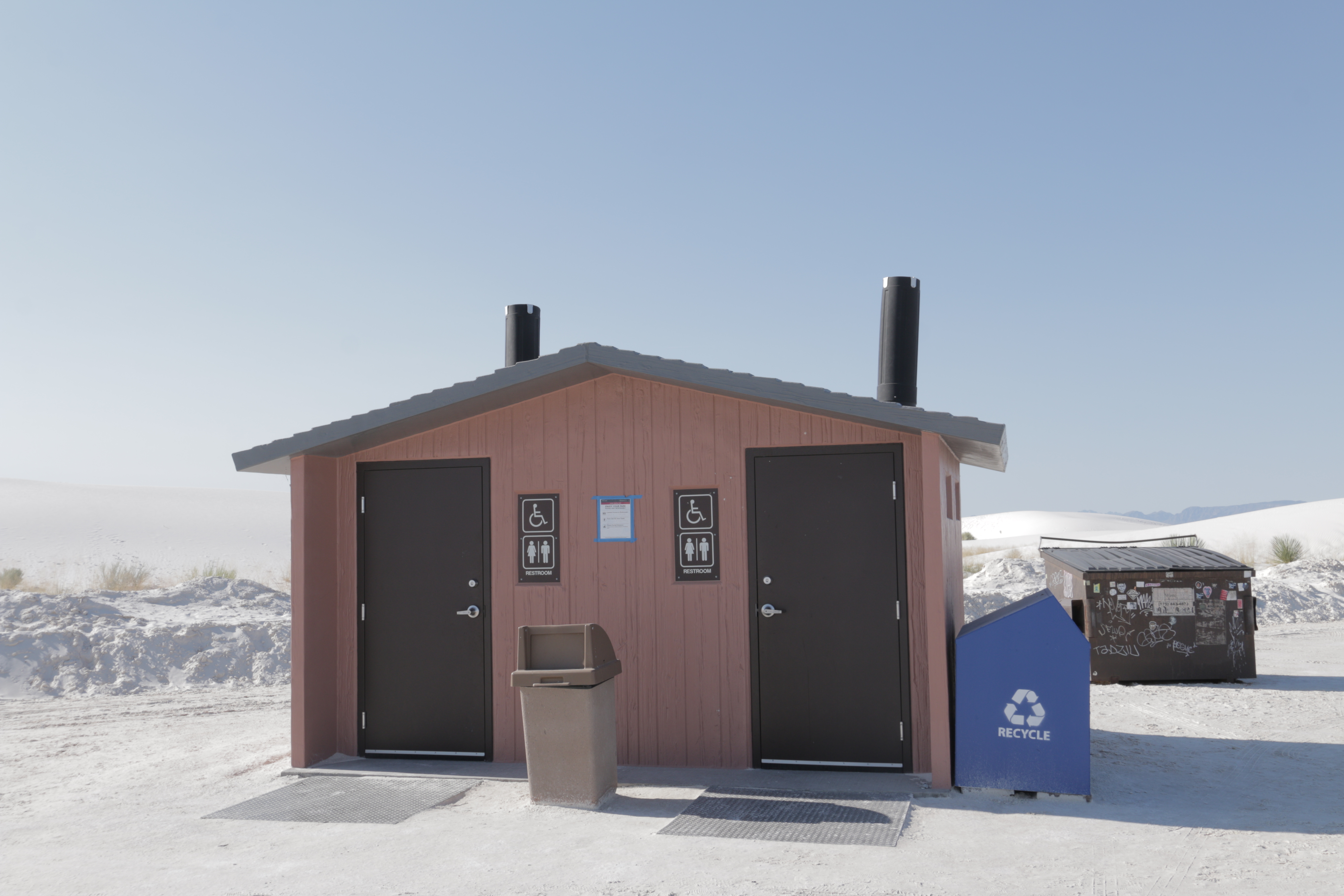
Backcountry Camping Loop Trail Restroom
~1h 4m drive
<p>The Backcountry Camping Loop Trail restroom has two separate wheelchair-accessible vault toilets with no running water, a dumpster, and trash and recycling bins. It is within a parking area with plenty of space to park automobiles and RVs, and there are accessible parking s…
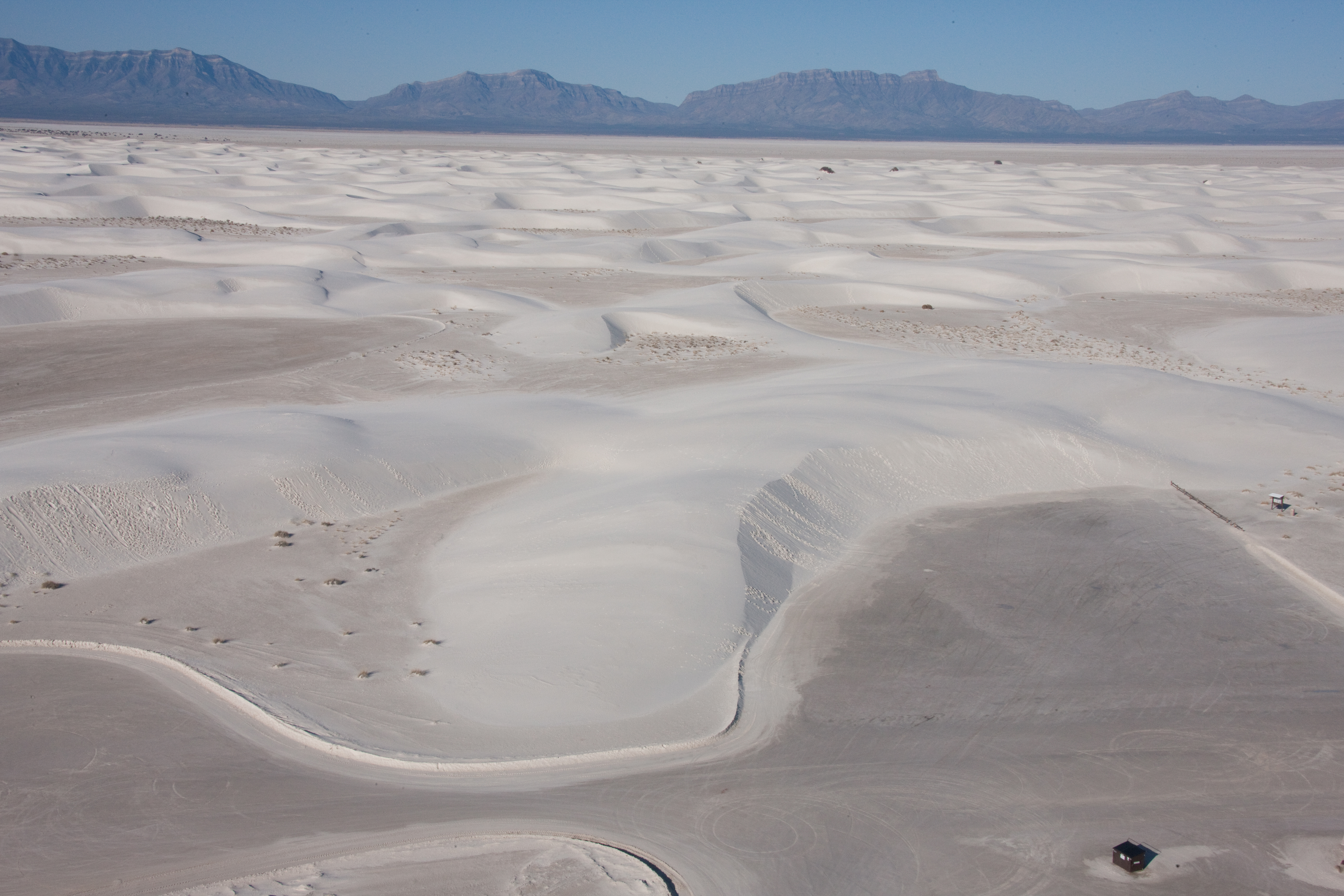
Alkali Flat Trail
~1h 4m drive
<p>Red trail markers with a diamond symbol guide hikers along this strenuous, 5-mile (8 km) roundtrip hike. The Alkali Flat Trail skirts the edge of what is now the final remnant of Lake Otero. <strong>This trail is not flat!</strong> You will be hiking up and down dunes the e…
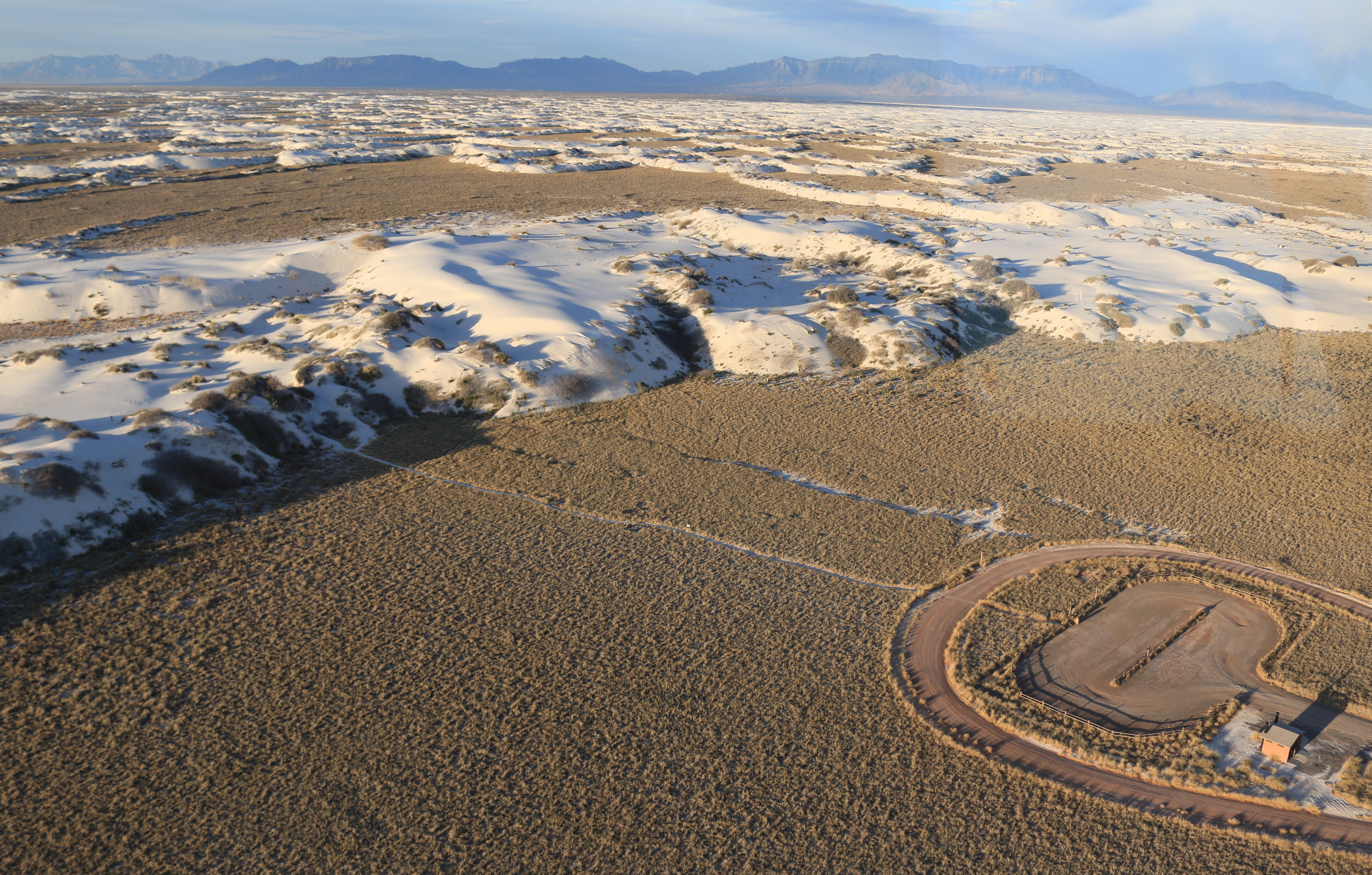
Dune Life Nature Trail
~1h 5m drive
<p>The Dune Life Nature Trail is a moderate, one-mile (1.6 km) self-guided loop hike. Though not difficult, this hike does require hikers to climb two steep dunes with loose sand. Follow the blue trail markers with a club symbol. Meet Katie the Kit Fox and learn about her frie…
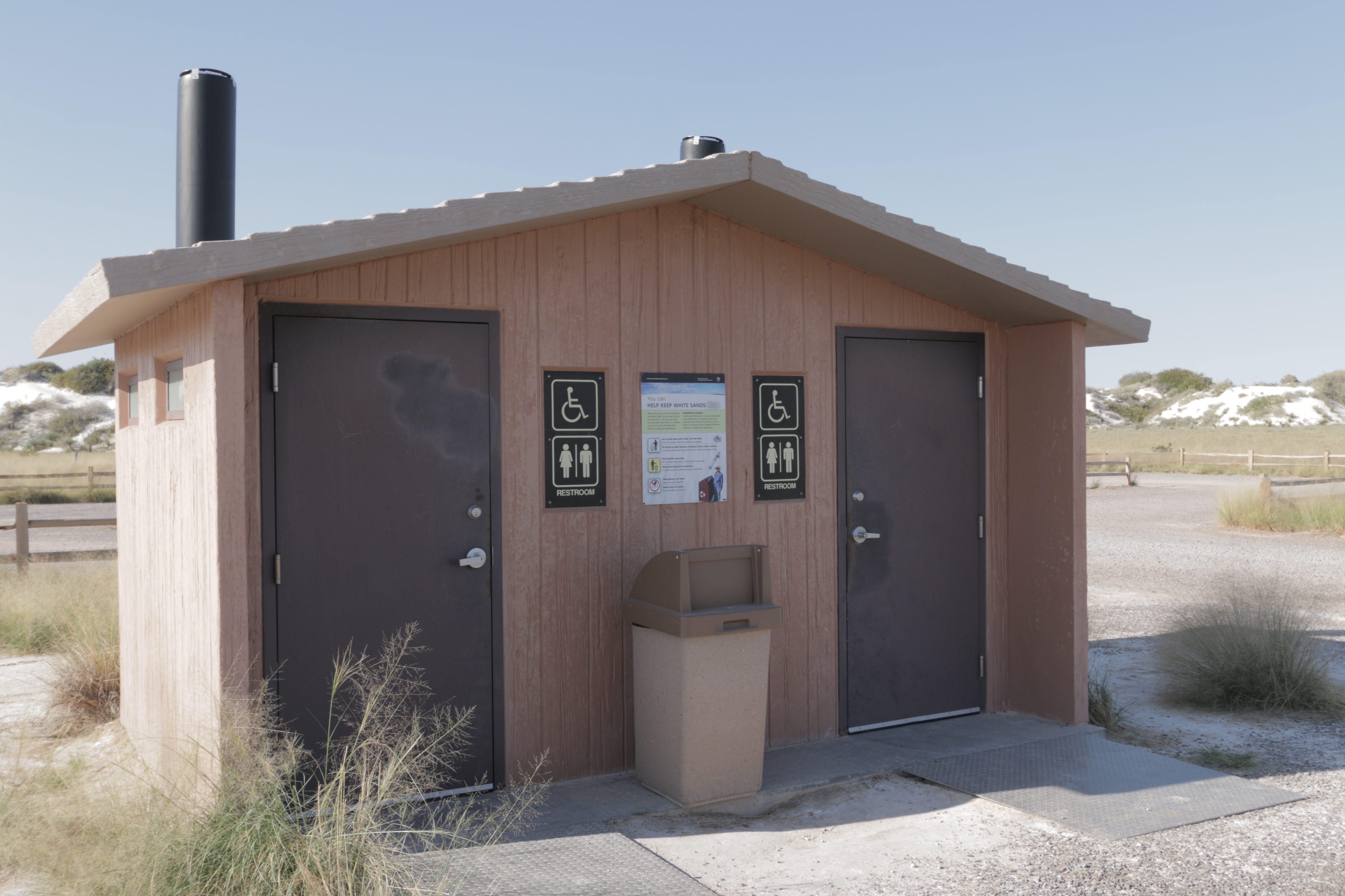
Dune Life Nature Trail Restroom
~1h 5m drive
<p>The Dune Life Nature Trail restroom has two separate wheelchair-accessible vault toilets with no running water, a trash bin, and is adjacent to a parking area with plenty of space to park automobiles and RVs. There are accessible parking spaces directly in front of the rest…
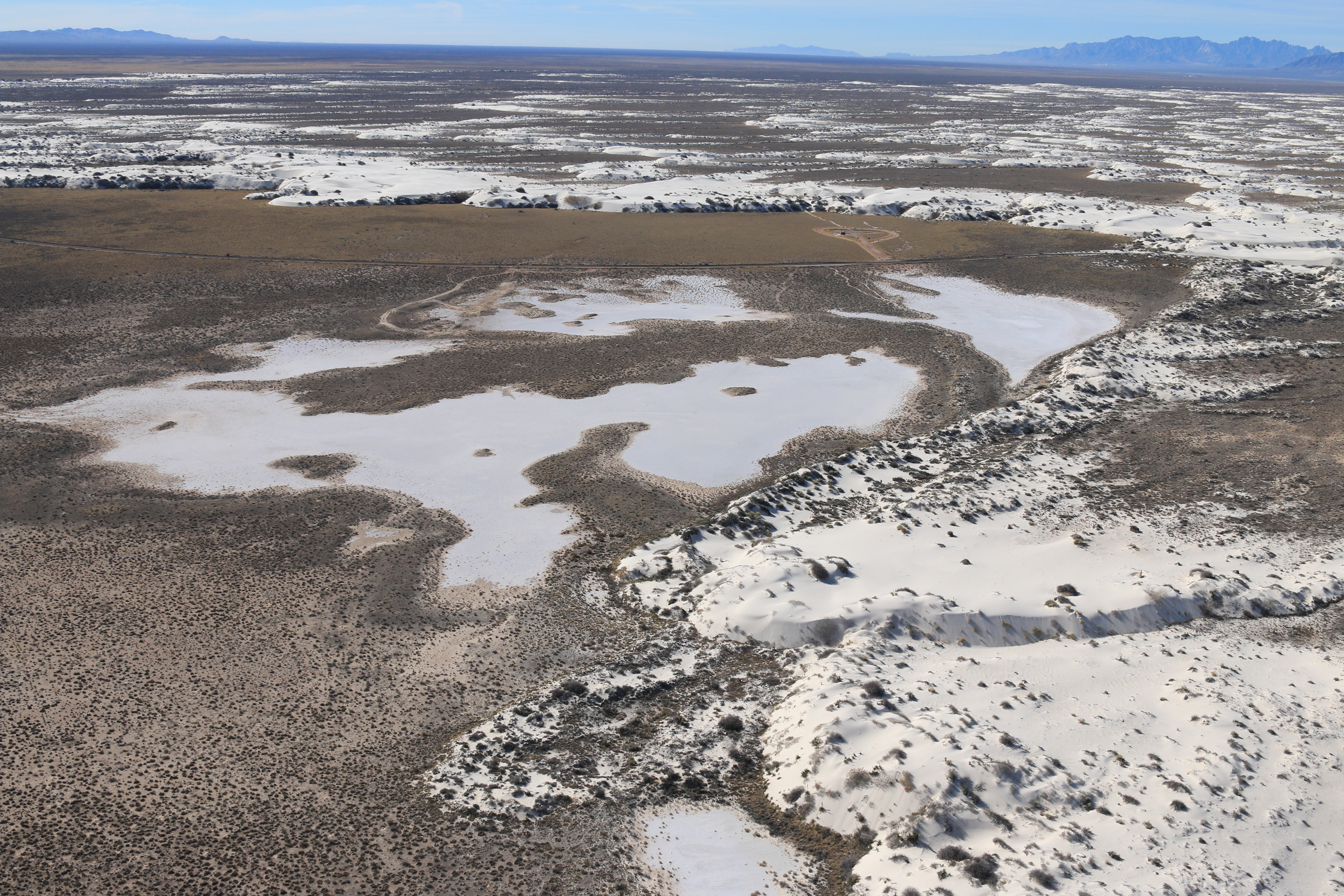
Playa Trail
~1h 5m drive
<p>The Playa Trail is an easy, 0.5 mile (800m) round-trip, level trail with outdoor exhibits along the way to help you learn and explore this trail and the characteristics that make it special. Follow the green trail markers with a heart symbol that lead to a small playa. On t…
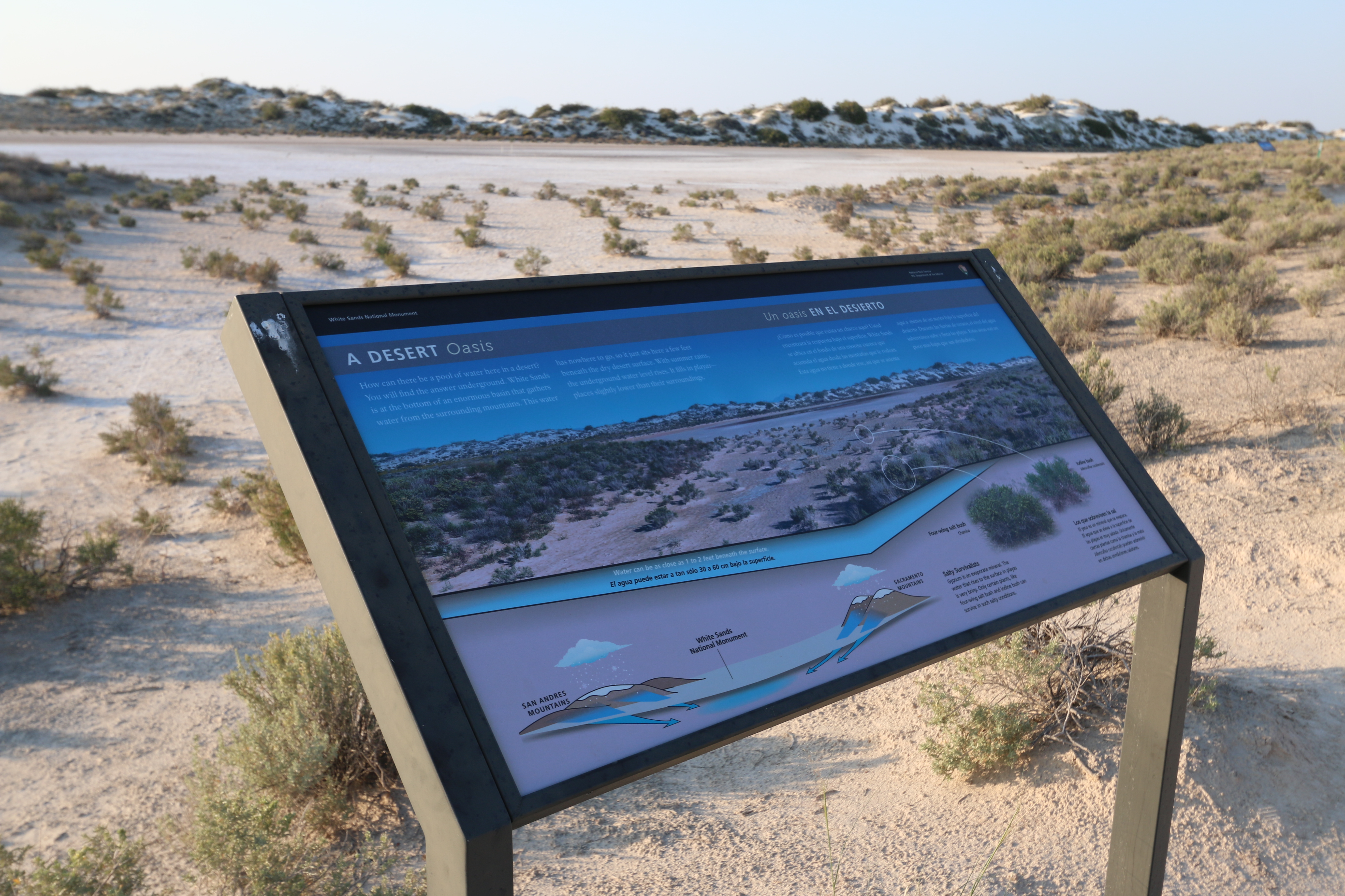
A Desert Oasis Interpretive Sign
~1h 5m drive
<p>Water is the focus of this interpretive sign on the Playa Trail. It describes how water is trapped in the basin and helps create the dried lakebed that is highlighted on this trail.</p>
