Pine Tree Loop
 Photo: uıɐɾ ʞ ʇɐɯɐs, CC BY-SA 2.0 (via Flickr)
At a glance
Pine Tree Loop is a 4.1-mile moderate hike on Bureau of Land Management land in the Las Cruces District Office, about 4.09 miles long with a total elevation gain of 1,674 feet. It starts at roughly 5,692 feet and climbs to about 6,729 feet, with the steepest stretch at just under a mile in, where the grade reaches about 27%. The route also has a little more than 1,500 feet of descent. Baylor Canyon Pass sits just 0.1 mile away, and Aguirre Spring Recreation Area and Campground is about 0.3 mile off. Climbers can reach Aguirre Bouldering and Cactararium within half a mile.
- loop
- 4.1 mi
- climb
- 1,674 ft
- high point
- 6,729 ft
- route
- Loop
- time
- About 2 hours
Where it is: Las Cruces District Office
Near: Las Cruces
Been here? Tell people how it was.
- Baylor Canyon PassHikingPhoto: uıɐɾ ʞ ʇɐɯɐs, CC BY-SA 2.0 (via Flickr)0.1 mi
 Aguirre BoulderingRock climbingPhoto: Alex Abair, CC BY 4.0 (via Wikimedia Commons)0.3 mi
- Aguirre Spring Recreation Area and CampgroundCamping0.3 mi
- Indian Hollow TrailHikingPhoto: Alex Abair, CC BY 4.0 (via Wikimedia Commons)0.3 mi
- CactarariumRock climbingPhoto: uıɐɾ ʞ ʇɐɯɐs, CC BY-SA 2.0 (via Flickr)0.4 mi
- NIMBY BoulderRock climbingPhoto: Alex Abair, CC BY 4.0 (via Wikimedia Commons)0.5 mi
- The FlounderRock climbingPhoto: uıɐɾ ʞ ʇɐɯɐs, CC BY-SA 2.0 (via Flickr)0.5 mi
 Organ Needle TrailHikingPhoto: uıɐɾ ʞ ʇɐɯɐs, CC BY-SA 2.0 (via Flickr)2 mi
- Baylor Canyon PassHikingPhoto: uıɐɾ ʞ ʇɐɯɐs, CC BY-SA 2.0 (via Flickr)Next door
- Indian Hollow TrailHikingPhoto: Alex Abair, CC BY 4.0 (via Wikimedia Commons)Next door
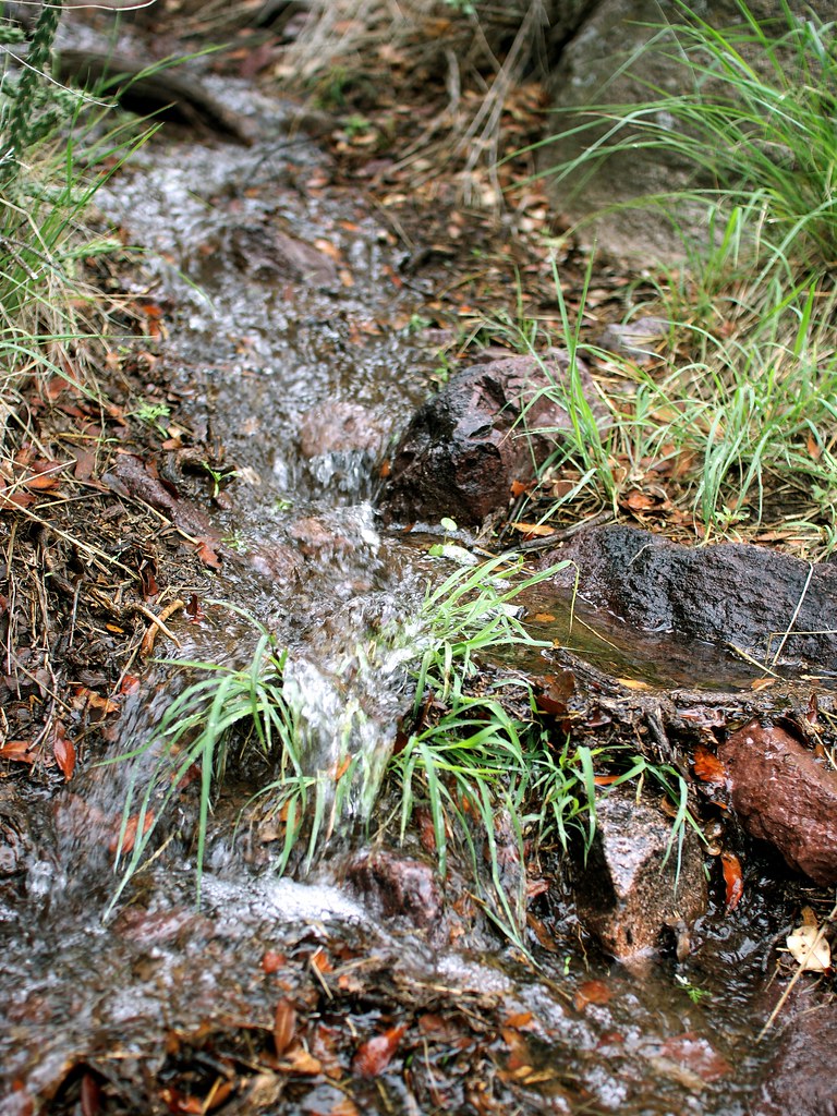 Crawford TrailHikingPhoto: uıɐɾ ʞ ʇɐɯɐs, CC BY-SA 2.0 (via Flickr)~5 min drive
- Sierra Vista TrailHiking~10 min drive
- Organ Needle TrailHikingPhoto: uıɐɾ ʞ ʇɐɯɐs, CC BY-SA 2.0 (via Flickr)~3 min drive
 Lower La Cueva TrailHikingPhoto: uıɐɾ ʞ ʇɐɯɐs, CC BY-SA 2.0 (via Flickr)~6 min drive
- La Maria TrailHiking~12 min drive
- Organ Peak TrailHikingPhoto: uıɐɾ ʞ ʇɐɯɐs, CC BY-SA 2.0 (via Flickr)~4 min drive
- La Cueva TrailHikingPhoto: uıɐɾ ʞ ʇɐɯɐs, CC BY-SA 2.0 (via Flickr)~6 min drive
- Lower Organ Needle TrailHikingPhoto: uıɐɾ ʞ ʇɐɯɐs, CC BY-SA 2.0 (via Flickr)~5 min drive
Conditions and forecast
Daily highs and lows, wind and the chance of precipitation at Start for the next 7 days, from the Open-Meteo model.

Ask about this place
Questions about Pine Tree Loop: conditions, access, timing. Answers say when something isn't known.
Map and trail data © OpenStreetMap contributors
