Organ Needle Trail
 Photo: uıɐɾ ʞ ʇɐɯɐs, CC BY-SA 2.0 (via Flickr)
- 0.8 mi
- round trip
- 2,276 ft
- climb
- 8,723 ft
- high point
- Out and back
- route
Organ Needle Trail is a 1.6-mile out-and-back route in the Organ Mountains Wilderness, on Bureau of Land Management land in southern New Mexico. The trail rises from a low point of 7,051 feet to a high of 8,723 feet, with a total elevation gain of 2,276 feet. It is rated moderate, and the climb is front-loaded, so the steepest stretch comes early in the hike. The Las Cruces District Office of the BLM manages the land, and the trail lies within the Organ Mountains Wilderness. The trip takes about 1.5 hours to complete. Organ Peak Trail starts just 0.4 miles away, and the climbing areas at Organ Needle and The Tooth sit within half a mile. For overnight stays, Aguirre Spring Recreation Area and Campground is about 1.9 miles off.
Conditions and forecast on Organ Needle
Daily highs and lows, wind and the chance of precipitation at the summit and route start for the next 7 days, from the Open-Meteo model.
- Organ Peak TrailHikingPhoto: uıɐɾ ʞ ʇɐɯɐs, CC BY-SA 2.0 (via Flickr)0.4 mi
 The ToothRock climbingPhoto: uıɐɾ ʞ ʇɐɯɐs, CC BY-SA 2.0 (via Flickr)0.5 mi
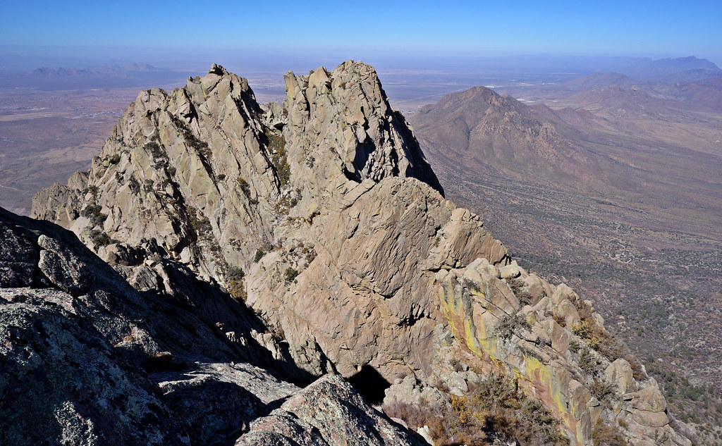 Little Squaretop MassifRock climbingPhoto: uıɐɾ ʞ ʇɐɯɐs, CC BY-SA 2.0 (via Flickr)0.6 mi
 Organ NeedleRock climbingPhoto: uıɐɾ ʞ ʇɐɯɐs, CC BY-SA 2.0 (via Flickr)0.6 mi
- Needle and SquaretopsRock climbingPhoto: uıɐɾ ʞ ʇɐɯɐs, CC BY-SA 2.0 (via Flickr)0.6 mi
 Lower Organ Needle TrailHikingPhoto: uıɐɾ ʞ ʇɐɯɐs, CC BY-SA 2.0 (via Flickr)1 mi
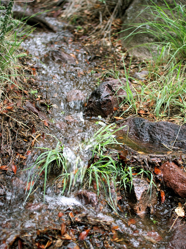 Crawford TrailHikingPhoto: uıɐɾ ʞ ʇɐɯɐs, CC BY-SA 2.0 (via Flickr)1.1 mi
- Aguirre Spring Recreation Area and CampgroundCamping1.9 mi
Source: Roamze catalog (indexable pages within 10 miles, PostGIS distance)
- Organ Peak TrailHiking · Next doorPhoto: uıɐɾ ʞ ʇɐɯɐs, CC BY-SA 2.0 (via Flickr)
- Crawford TrailHiking · ~2 min drivePhoto: uıɐɾ ʞ ʇɐɯɐs, CC BY-SA 2.0 (via Flickr)
 Baylor Canyon PassHiking · ~4 min drivePhoto: uıɐɾ ʞ ʇɐɯɐs, CC BY-SA 2.0 (via Flickr)
- Lower Organ Needle TrailHiking · ~2 min drivePhoto: uıɐɾ ʞ ʇɐɯɐs, CC BY-SA 2.0 (via Flickr)
- La Cueva TrailHiking · ~2 min drivePhoto: uıɐɾ ʞ ʇɐɯɐs, CC BY-SA 2.0 (via Flickr)
- Sierra Vista TrailHiking · ~7 min drive
- Pine Tree LoopHiking · ~3 min drivePhoto: uıɐɾ ʞ ʇɐɯɐs, CC BY-SA 2.0 (via Flickr)
 Dripping Springs TrailHiking · ~3 min drivePhoto: uıɐɾ ʞ ʇɐɯɐs, CC BY-SA 2.0 (via Flickr)
- La Maria TrailHiking · ~9 min drive
 Indian Hollow TrailHiking · ~4 min drivePhoto: Alex Abair, CC BY 4.0 (via Wikimedia Commons)
Also worth it near here

Route details
- Distance
- 0.8 mi round trip
- Climbing
- About 2,276 ft
- Summit
- 9,009 ft
- Difficulty
- Moderate
- Time
- About 1.5 hours
Questions about this route
How long is the Organ Needle Trail on Organ Needle?
About 0.8 mi round trip.
How much elevation gain is on the Organ Needle Trail?
About 2,276 ft of climbing round trip.
How hard is the Organ Needle Trail?
It is rated moderate.
How long does the Organ Needle Trail take?
About 1.5 hours round trip.
Map and trail data © OpenStreetMap contributors
