Hodges Peak
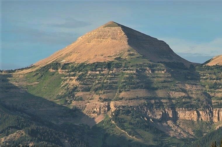 Photo: Intermountain Forest Service, USDA Region 4 Photography, Public domain (via Wikimedia Commons)
- 11,179 ft
- summit
- Forest Service
- managed by
Is Hodges Peak open right now?
No closures listed
The Forest Service lists no closures for Bridger-Teton National Forest.
As of · Source: USFS · Bridger-Teton National Forest. Agencies don't list every closure — check before you go.
Hodges Peak is a summit of about 11,179 feet in Sublette County, Wyoming, inside the Gros Ventre Wilderness. The peak lies within the Big Piney Ranger District of Bridger-Teton National Forest, which the Forest Service manages, and the nearest town is Bondurant, about 11 miles away. Several hikes start within a few miles, including Tosi Creek about 3 miles away and Clear Creek Trail about 4 miles away. For an overnight base, Granite Creek Campground sits about 10 miles off, and the Gros Ventre River offers canoeing at a similar distance.
Conditions and forecast
Daily highs and lows, wind and the chance of precipitation at the summit for the next 7 days, from the Open-Meteo model.
- Summit elevation
- 11,179 ft
- Land manager
- Forest Service
Elevation from USGS 3D Elevation Program terrain data (about 10 m resolution).
We don't know of a mapped trail or route to the summit of Hodges Peak. Plan the approach with local maps, a guidebook or a local guide, and check conditions before you go.
Questions about Hodges Peak
How tall is Hodges Peak?
11,179 ft (3,407 m).
Is there a trail to the top of Hodges Peak?
We don't know of a mapped trail or route to the summit. Plan the approach with local maps, a guidebook or a local guide.
- Sunday Peak8,980 ft · Wyoming1 route13 mi away
- Jackson Peak10,739 ft · Wyoming1 route21 mi away
- Deer Creek Mountain9,613 ft · Wyoming1 route21 mi away
- Elk Mountain8,513 ft · Wyoming1 route30 mi away
- Prospect Peak9,656 ft · Wyoming1 route31 mi away
 Shadow Mountain8,256 ft · Wyoming1 route32 mi awayPhoto: LikeGrantTookRichmond, CC BY-SA 3.0 (via Wikimedia Commons)
- Tosi CreekHiking3 mi
- Clear Creek TrailHiking4 mi
- Upper Shoal CreekHiking4.2 mi
- Dry Fork (Brewster Lake)Hiking4.2 mi
- Dell CreekHiking4.4 mi
- Shoal Falls TrailHiking4.5 mi
- Granite Creek CampgroundCamping9.6 mi
 Gros Ventre RiverCanoeingPhoto: Daniel Mayer, CC BY-SA 3.0 (via Wikimedia Commons)9.7 mi
Source: Roamze catalog (indexable pages within 10 miles, PostGIS distance)
 Sheep MountainSummit · ~35 min drivePhoto: Acroterion, CC BY-SA 4.0 (via Wikimedia Commons)
 Two Ocean MountainSummit · ~52 min drivePhoto: Bridger Teton NF, Public domain (via Wikimedia Commons)
 Blacktail ButteSummit · ~53 min drivePhoto: Wade Bartlett, CC BY 3.0 (via Wikimedia Commons)
- Shadow MountainSummit · ~54 min drivePhoto: LikeGrantTookRichmond, CC BY-SA 3.0 (via Wikimedia Commons)
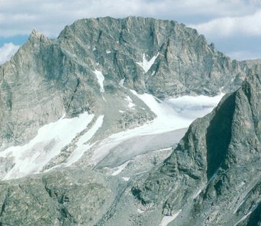 Gannett PeakSummit · ~55 min drivePhoto: U.S. Forest Service, Public domain (via Wikimedia Commons)
 Whiskey MountainSummit · ~57 min drivePhoto: Cactus26, CC BY-SA 3.0 (via Wikimedia Commons)
 Pinnacle ButtesSummit · ~57 min drivePhoto: Yi Ding, CC BY-SA 2.0 (via Wikimedia Commons)
 Breccia PeakSummit · ~58 min drivePhoto: Cactus26, CC BY-SA 3.0 (via Wikimedia Commons)
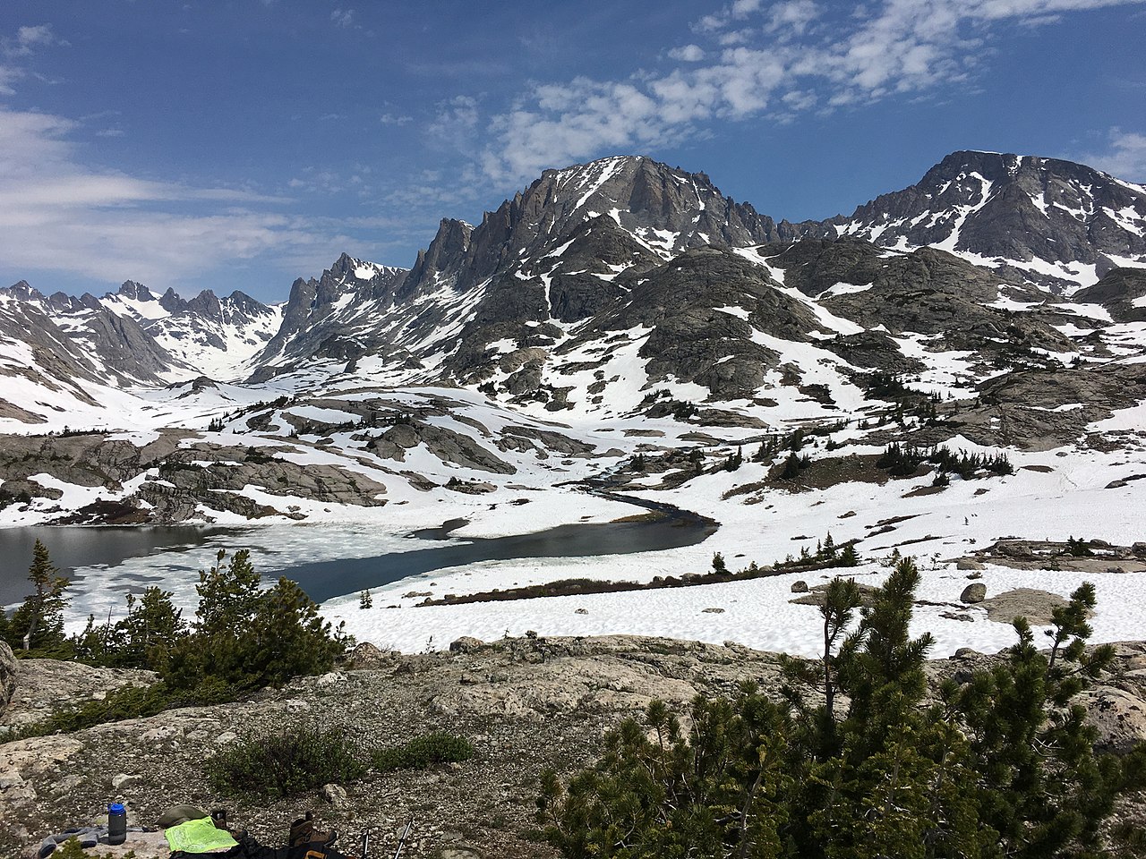 Fremont PeakSummit · ~1h 1m drivePhoto: Fredlyfish4, CC BY-SA 4.0 (via Wikimedia Commons)
- Jackson PeakSummit · ~1h 2m drivePhoto: Fredlyfish4, CC BY-SA 4.0 (via Wikimedia Commons)
