Shadow Upper 18c
Campground
Campground · < 0.1 mi from the trail
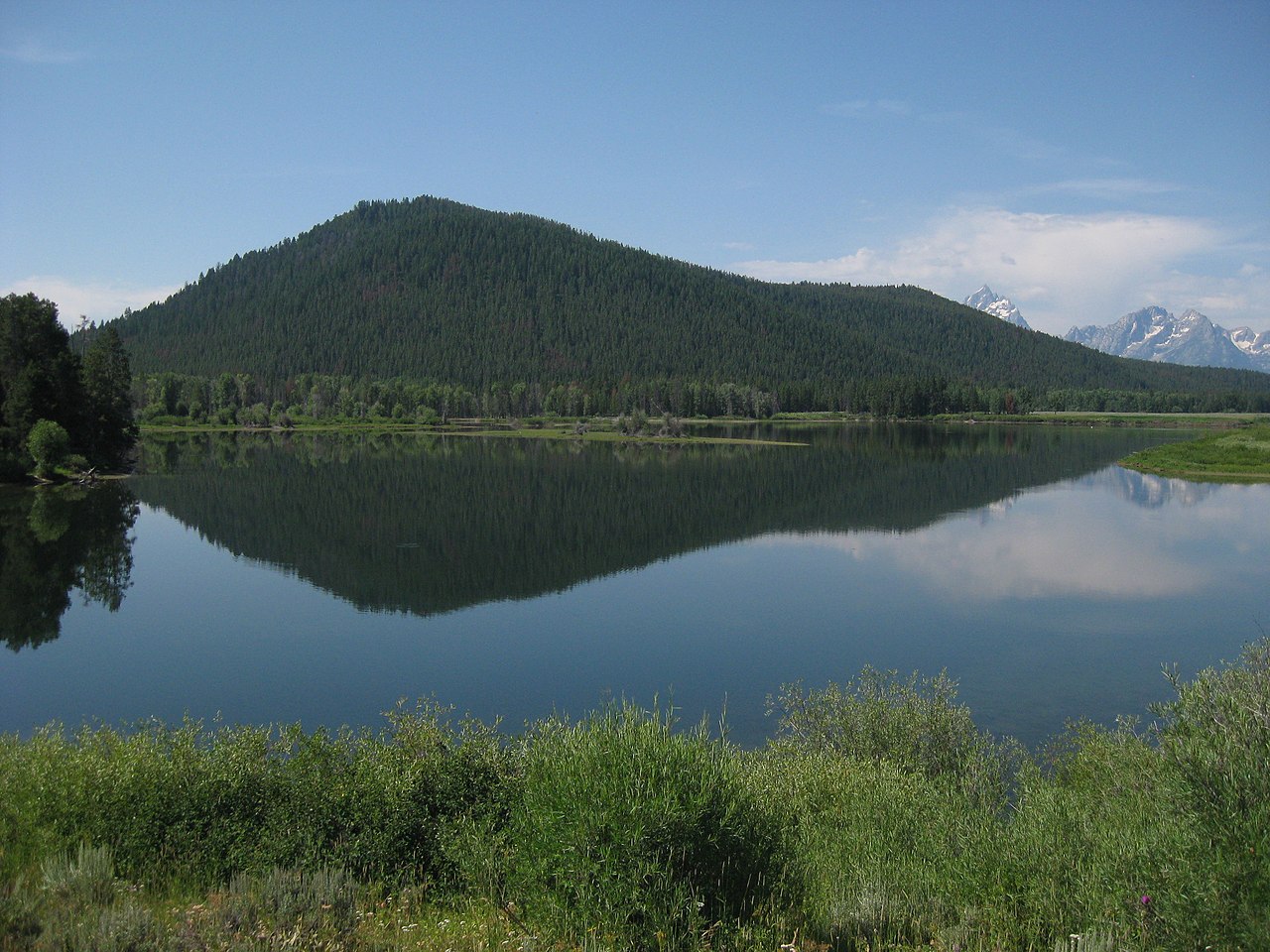
 Photo: LikeGrantTookRichmond, CC BY-SA 3.0 (via Wikimedia Commons)
No closures listed
The Forest Service lists no closures for Bridger-Teton National Forest.
As of · Source: USFS · Bridger-Teton National Forest. Agencies don't list every closure — check before you go.
Shadow Mountain is a summit in Wyoming, 8,256 feet elevation. It is managed by the Forest Service on federal USFS land.
Shadow Upper 18c
Campground
Kelly Warm Springs
Hot spring
Places © OpenStreetMap contributors
More in JacksonDaily highs and lows, wind and the chance of precipitation at the summit and route start for the next 7 days, from the Open-Meteo model.
Elevation from USGS 3D Elevation Program terrain data (about 10 m resolution).
8,256 ft (2,516 m).
One: Shadow Mountain.


Source: Roamze catalog (indexable pages within 10 miles, PostGIS distance)
 Blacktail ButteSummit · ~13 min drivePhoto: Wade Bartlett, CC BY 3.0 (via Wikimedia Commons)
 Signal MountainSummit · ~16 min drivePhoto: Thomas Kriese, CC BY 2.0 (via Wikimedia Commons)
 Teewinot MountainSummit · ~17 min drivePhoto: Acroterion, CC BY-SA 4.0 (via Wikimedia Commons)
 Disappointment PeakSummit · ~18 min drivePhoto: Acroterion, CC BY-SA 4.0 (via Wikimedia Commons)
 Rockchuck PeakSummit · ~18 min drivePhoto: Acroterion, CC BY-SA 4.0 (via Wikimedia Commons)
 Nez PerceSummit · ~18 min drivePhoto: Acroterion, CC BY-SA 4.0 (via Wikimedia Commons)
 Mount OwenSummit · ~19 min drivePhoto: Acroterion, CC BY-SA 4.0 (via Wikimedia Commons)Grand TetonSummit · ~19 min drivePhoto: NPS, Public domain (via Wikimedia Commons)
 Middle TetonSummit · ~20 min drivePhoto: Acroterion, CC BY-SA 4.0 (via Wikimedia Commons)
 Mount WisterSummit · ~20 min drivePhoto: Acroterion, CC BY-SA 4.0 (via Wikimedia Commons)
Best months: June–September. Best months have typical highs of 55–85 °F, lows of 30 °F or warmer (32 °F where the station doesn't record snow), at most one snowy day and no more than 12 wet days.
Jan
24° / 1°
14 wet · 14 snow
Feb
30° / 4°
12 wet · 11 snow
Mar
39° / 12°
12 wet · 9 snow
Apr
46° / 21°
12 wet · 6 snow
May
56° / 31°
12 wet · 2 snow
Jun
67° / 37°
10 wet
Jul
77° / 42°
8 wet
Aug
76° / 40°
8 wet
Sep
66° / 34°
8 wet
Oct
51° / 25°
9 wet · 3 snow
Nov
35° / 14°
12 wet · 9 snow
Dec
24° / 4°
15 wet · 14 snow
Typical high / low (°F) and days with rain or snow, 1991–2020. Measured at Moran 5wnw, WY, 10 mi away at 6,805 ft. The station sits about 1,500 ft lower than this place, so expect it a little cooler here. Source: NOAA NCEI U.S. Climate Normals 1991–2020.
