Whiskey Mountain
 Photo: Cactus26, CC BY-SA 3.0 (via Wikimedia Commons)
- 11,157 ft
- summit
- Forest Service
- managed by
Is Whiskey Mountain open right now?
Alert in the area
The Forest Service lists an alert for Shoshone National Forest.
Morrison Jeep Trail
Agency alert covering Shoshone National Forest · USFS · Shoshone National Forest
As of · Source: USFS · Shoshone National Forest. Agencies don't list every closure — check before you go.
Whiskey Mountain is a summit of about 11,157 feet in Fremont County, Wyoming, inside the Fitzpatrick Wilderness. The peak lies within the Wind River Ranger District of Shoshone National Forest, which the Forest Service manages, and the nearest town is Dubois, about 8 miles away. The Whiskey Mountain Cutoff hike starts less than a mile from the summit, and Ross Lake is about 1.4 miles off. Farther afield, Torrey Creek offers river fishing about 2 miles away, and Lake Louise is a hike of about 2.2 miles.
Conditions and forecast
Daily highs and lows, wind and the chance of precipitation at the summit for the next 7 days, from the Open-Meteo model.
- Summit elevation
- 11,157 ft
- Land manager
- Forest Service
Elevation from USGS 3D Elevation Program terrain data (about 10 m resolution).
We don't know of a mapped trail or route to the summit of Whiskey Mountain. Plan the approach with local maps, a guidebook or a local guide, and check conditions before you go.
Questions about Whiskey Mountain
How tall is Whiskey Mountain?
11,157 ft (3,401 m).
Is there a trail to the top of Whiskey Mountain?
We don't know of a mapped trail or route to the summit. Plan the approach with local maps, a guidebook or a local guide.
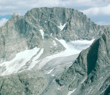 Gannett Peak13,800 ft · Wyoming2 routes17 mi awayPhoto: U.S. Forest Service, Public domain (via Wikimedia Commons)
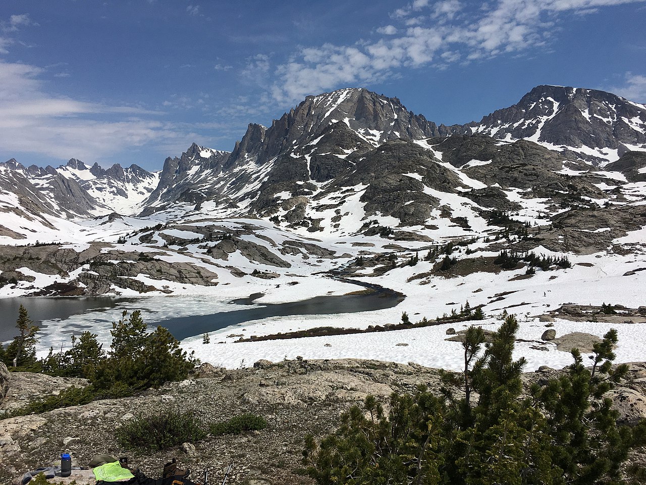 Fremont Peak13,733 ft · Wyoming1 route21 mi awayPhoto: Fredlyfish4, CC BY-SA 4.0 (via Wikimedia Commons)
- Jackson Peak13,517 ft · Wyoming1 route21 mi awayPhoto: Fredlyfish4, CC BY-SA 4.0 (via Wikimedia Commons)
- Photographers Point10,406 ft · Wyoming1 route29 mi away
- Sunday Peak8,980 ft · Wyoming1 route29 mi away
- Deer Creek Mountain9,613 ft · Wyoming1 route31 mi away
- WHISKEY MOUNTAIN CUTOFFHiking0.7 mi
- Ross LakeHiking1.4 mi
- Torrey CreekRiver fishing2.1 mi
- Lake LouiseHiking2.2 mi
- Glacier TrailHiking2.5 mi
- Far Northern WindsRock climbing2.8 mi
- Jakeys ForkCanoeing3.3 mi
- Trail Lake PinnacleRock climbing4 mi
Source: Roamze catalog (indexable pages within 10 miles, PostGIS distance)
- Gannett PeakSummit · ~29 min drivePhoto: U.S. Forest Service, Public domain (via Wikimedia Commons)
 Mount SacagaweaSummit · ~35 min drivePhoto: Tim Holland, CC BY-SA 3.0 (via Wikimedia Commons)
- Fremont PeakSummit · ~36 min drivePhoto: Fredlyfish4, CC BY-SA 4.0 (via Wikimedia Commons)
- Jackson PeakSummit · ~37 min drivePhoto: Fredlyfish4, CC BY-SA 4.0 (via Wikimedia Commons)
 Pinnacle ButtesSummit · ~47 min drivePhoto: Yi Ding, CC BY-SA 2.0 (via Wikimedia Commons)
 Two Ocean MountainSummit · ~54 min drivePhoto: Bridger Teton NF, Public domain (via Wikimedia Commons)
 Breccia PeakSummit · ~57 min drivePhoto: Cactus26, CC BY-SA 3.0 (via Wikimedia Commons)
 Francs PeakSummit · ~1h 7m drivePhoto: Ralph Maughan, CC BY-SA 2.5 (via Wikimedia Commons)
 Thorofare MountainSummit · ~1h 8m drivePhoto: ShenandoahNPS, Public domain (via Wikimedia Commons)
 Younts PeakSummit · ~1h 9m drivePhoto: Terry Dolan, NPS, Public domain (via Wikimedia Commons)
