Two Ocean Mountain
 Photo: Bridger Teton NF, Public domain (via Wikimedia Commons)
- 10,711 ft
- summit
- Forest Service
- managed by
Is Two Ocean Mountain open right now?
No closures listed
The Forest Service lists no closures for Bridger-Teton National Forest.
As of · Source: USFS · Bridger-Teton National Forest. Agencies don't list every closure — check before you go.
Two Ocean Mountain is a summit of about 10,711 feet in Teton County, Wyoming, on the Blackrock Ranger District of the Bridger-Teton National Forest. The Forest Service manages the land, and the nearest town is DuNoir, about 18 miles away. The Brooks Lake Snowmobile Trail lies about 1.4 miles away, and the Pink Creek Trail is about 2 miles off. Brooks Lake Campground and Pinnacles Campground are both within about 5 miles.
Conditions and forecast
Daily highs and lows, wind and the chance of precipitation at the summit for the next 7 days, from the Open-Meteo model.
- Summit elevation
- 10,711 ft
- Land manager
- Forest Service
Elevation from USGS 3D Elevation Program terrain data (about 10 m resolution).
We don't know of a mapped trail or route to the summit of Two Ocean Mountain. Plan the approach with local maps, a guidebook or a local guide, and check conditions before you go.
Questions about Two Ocean Mountain
How tall is Two Ocean Mountain?
10,711 ft (3,265 m).
Is there a trail to the top of Two Ocean Mountain?
We don't know of a mapped trail or route to the summit. Plan the approach with local maps, a guidebook or a local guide.
- Deer Creek Mountain9,613 ft · Wyoming1 route10 mi away
- Sunday Peak8,980 ft · Wyoming1 route18 mi away
- Gravel Peak9,693 ft · Wyoming1 route23 mi away
 Shadow Mountain8,256 ft · Wyoming1 route25 mi awayPhoto: LikeGrantTookRichmond, CC BY-SA 3.0 (via Wikimedia Commons)
- Grand View Point7,588 ft · Wyoming1 route26 mi away
 Lunch Tree Hill6,958 ft · Wyoming2 routes26 mi awayPhoto: Miguel Hermoso Cuesta, CC BY-SA 4.0 (via Wikimedia Commons)
- Brooks Lake Snowmobile TrailCross-country skiing1.4 mi
- Pink Creek TrailHiking2 mi
- Sublette Mountain CDT AlternateHiking2.9 mi
 Brooks Lake CampgroundCampingPhoto: Viplav Valluri, CC BY-SA 4.0 (via Wikimedia Commons)4.1 mi
- Pinnacles CampgroundCamping4.6 mi
- Falls CampgroundCampingPhoto: Viplav Valluri, CC BY-SA 4.0 (via Wikimedia Commons)6.3 mi
- North Fork Fish CreekCanoeing7.1 mi
 Wind RiverCanoeingPhoto: Original uploader was Billy Hathorn at en.wikipedia, CC BY-SA 3.0 (via Wikimedia Commons)9.6 mi
Source: Roamze catalog (indexable pages within 10 miles, PostGIS distance)
 Breccia PeakSummit · ~6 min drivePhoto: Cactus26, CC BY-SA 3.0 (via Wikimedia Commons)
 Pinnacle ButtesSummit · ~11 min drivePhoto: Yi Ding, CC BY-SA 2.0 (via Wikimedia Commons)
 Younts PeakSummit · ~34 min drivePhoto: Terry Dolan, NPS, Public domain (via Wikimedia Commons)
 Thorofare MountainSummit · ~35 min drivePhoto: ShenandoahNPS, Public domain (via Wikimedia Commons)
- Shadow MountainSummit · ~43 min drivePhoto: LikeGrantTookRichmond, CC BY-SA 3.0 (via Wikimedia Commons)
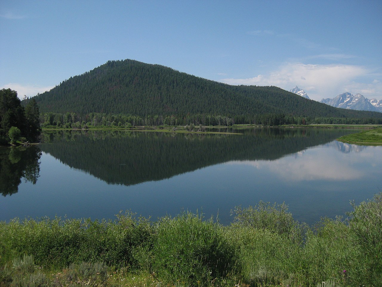 Signal MountainSummit · ~43 min drivePhoto: Thomas Kriese, CC BY 2.0 (via Wikimedia Commons)
 Sheep MountainSummit · ~44 min drivePhoto: Acroterion, CC BY-SA 4.0 (via Wikimedia Commons)
- Lunch Tree HillSummit · ~45 min drivePhoto: Miguel Hermoso Cuesta, CC BY-SA 4.0 (via Wikimedia Commons)
 Blacktail ButteSummit · ~54 min drivePhoto: Wade Bartlett, CC BY 3.0 (via Wikimedia Commons)
 Whiskey MountainSummit · ~54 min drivePhoto: Cactus26, CC BY-SA 3.0 (via Wikimedia Commons)
Also worth it near here
- Pink Creek TrailHiking · ~3 min drive
- Brooks Lake CampgroundCamping · ~7 min drivePhoto: Viplav Valluri, CC BY-SA 4.0 (via Wikimedia Commons)
- Brooks Lake Creek FallsWaterfall · ~11 min drive
- Wind RiverCanoeing · ~16 min drivePhoto: Original uploader was Billy Hathorn at en.wikipedia, CC BY-SA 3.0 (via Wikimedia Commons)
