Gannett Peak
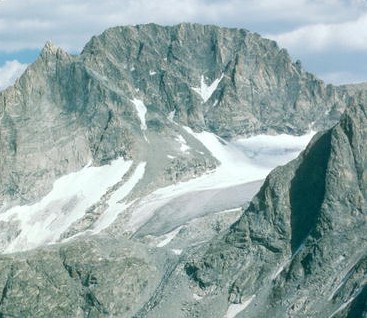 Photo: U.S. Forest Service, Public domain (via Wikimedia Commons)
- 13,800 ft
- summit
- 2
- ways up
- Forest Service
- managed by
Is Gannett Peak open right now?
Alert in the area
The Forest Service lists an alert for Shoshone National Forest.
Morrison Jeep Trail
Agency alert covering Shoshone National Forest · USFS · Shoshone National Forest
As of · Source: USFS · Shoshone National Forest. Agencies don't list every closure — check before you go.
Gannett Peak is a summit in Wyoming's Fitzpatrick Wilderness, within the Wind River Ranger District of Shoshone National Forest, which the Forest Service manages. The nearest town is Cora, about 23 miles away. Routes toward the summit start close by. The Gannett Peak Trail lies about a mile from the peak, and the Glacier Trail is roughly 1.4 miles off. Climbers can also look to the Dinwoody Glacier Area, about 1.8 miles away, and the Titcomb Basin Area, about 4 miles out.
Conditions and forecast
Daily highs and lows, wind and the chance of precipitation at the summit and glacier trail trailhead (trail lake) for the next 7 days, from the Open-Meteo model.
- Summit elevation
- 13,800 ft
- Land manager
- Forest Service
Elevation from USGS 3D Elevation Program terrain data (about 10 m resolution).
- Gannett PeakExpertFrom Glacier Trail Trailhead (Trail Lake) · about 10,695 ft of climbingScramble47.9 mi round trip
- Gannett Peak TrailExpertabout 2,748 ft of climbing3.6 mi round trip
Compare the routes Gannett Peak Gannett Peak Trail Starts at Glacier Trail Trailhead (Trail Lake) — Climbing About 10,695 ft About 2,748 ft Round trip 47.9 mi 3.6 mi Difficulty Expert Expert Terrain Scramble Hike Map © Mapbox © OpenStreetMap contributors Questions about Gannett Peak
How tall is Gannett Peak?
13,800 ft (4,206 m).
How many routes go to the summit of Gannett Peak?
2: Gannett Peak and Gannett Peak Trail.
What is the shortest route up Gannett Peak?
Gannett Peak Trail, about 3.6 mi round trip.
Where do the routes up Gannett Peak start?
Gannett Peak starts at Glacier Trail Trailhead (Trail Lake).
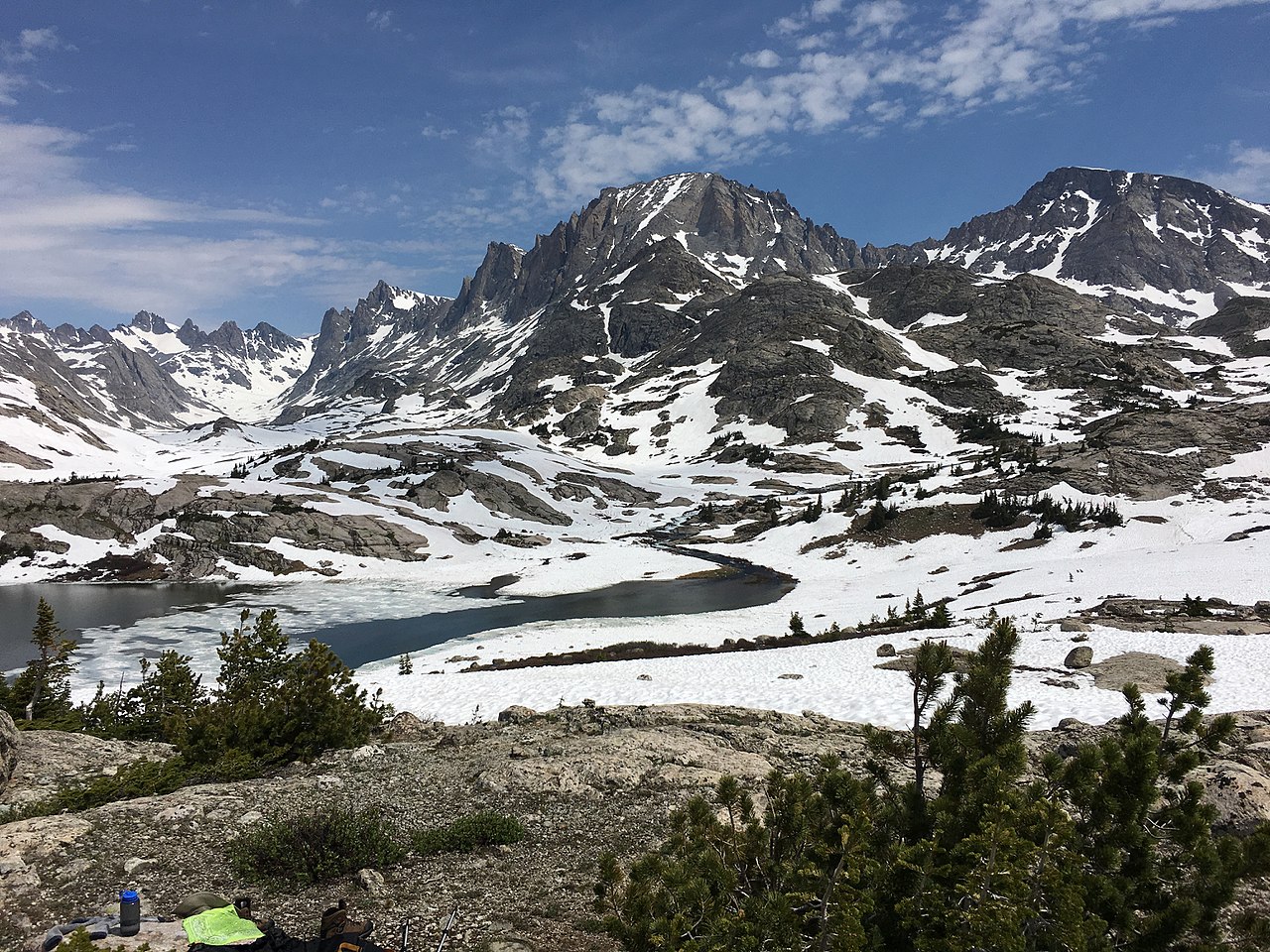 Fremont Peak13,733 ft · Wyoming1 route4.5 mi awayPhoto: Fredlyfish4, CC BY-SA 4.0 (via Wikimedia Commons)
- Jackson Peak13,517 ft · Wyoming1 route5.2 mi awayPhoto: Fredlyfish4, CC BY-SA 4.0 (via Wikimedia Commons)
- Photographers Point10,406 ft · Wyoming1 route11 mi away
- Sunday Peak8,980 ft · Wyoming1 route35 mi away
- Deer Creek Mountain9,613 ft · Wyoming1 route40 mi away
- Wind River Peak13,194 ft · Wyoming1 route42 mi away
- Gannett Peak TrailHiking1.1 mi
- Glacier TrailHiking1.4 mi
 Dinwoody Glacier Area.Rock climbingPhoto: jfdervin, CC BY-SA 2.0 (via Flickr)1.8 mi
- CDT ha- Wyoming AlternatesHiking3.9 mi
- Titcomb Basin AreaRock climbing4 mi
- The Green Toupee BoulderRock climbing4.5 mi
- Downs ForkCanoeing7.2 mi
- North Fork Bull Lake CreekCanoeing8.2 mi
Source: Roamze catalog (indexable pages within 10 miles, PostGIS distance)
- Fremont PeakSummit · ~8 min drivePhoto: Fredlyfish4, CC BY-SA 4.0 (via Wikimedia Commons)
- Jackson PeakSummit · ~9 min drivePhoto: Fredlyfish4, CC BY-SA 4.0 (via Wikimedia Commons)
 Whiskey MountainSummit · ~29 min drivePhoto: Cactus26, CC BY-SA 3.0 (via Wikimedia Commons)
 Mount BonnevilleSummit · ~46 min drivePhoto: Philthy54 (talk · contribs), CC BY 3.0 (via Wikimedia Commons)
- Raid PeakSummit · ~47 min drivePhoto: Philthy54 (talk · contribs), CC BY 3.0 (via Wikimedia Commons)
 Cathedral PeakSummit · ~59 min drivePhoto: Kylir Horton from Eagle Mountain, Utah, United States, CC BY 2.0 (via Wikimedia Commons)
 Wolfs HeadSummit · ~1h drivePhoto: Doc Searls from Santa Barbara, USA, CC BY-SA 2.0 (via Wikimedia Commons)
 Lizard Head PeakSummit · ~1h 1m drivePhoto: summitcheese, CC BY-SA 2.0 (via Wikimedia Commons)
- War Bonnet PeakSummit · ~1h 3m drivePhoto: Doc Searls from Santa Barbara, USA, CC BY-SA 2.0 (via Wikimedia Commons)
 Pinnacle ButtesSummit · ~1h 12m drivePhoto: Yi Ding, CC BY-SA 2.0 (via Wikimedia Commons)
