Tosi Creek
- 11.9 mi
- round trip
- 3,848 ft
- climb
- 10,089 ft
- high point
- Out and back
- route
Is Tosi Creek open right now?
No closures listed
The Forest Service lists no closures for Bridger-Teton National Forest.
As of · Source: USFS · Bridger-Teton National Forest. Agencies don't list every closure — check before you go.
Tosi Creek is a hard hike in Wyoming's Gros Ventre Wilderness, within the Jackson Ranger District of the Bridger-Teton National Forest. The trail is an out-and-back that starts and ends at about 10,080 feet, with a high point of 10,089 feet and a total elevation gain of 3,848 feet over the course of the trip. The steepest stretch comes early, at about 0.24 miles from the start, where the grade reaches 19 percent. The route is on natural surface, and horses are allowed. Bikes are not. The Forest Service manages the land, and the trail is open from May 1 through October 31. Plan for about six hours on the trail. Nearby, the Clear Creek Trail lies about a mile away, and Clear Creek Lake and the Dry Fork (Brewster Lake) trail are both within about 3 miles. Paddlers can reach the Gros Ventre River, about 7 miles off.
Local outfitters
- The Virginian RV Park29 mi away
- Yellowstone Trail RV Park38 mi away
Not on Roamze yet. Their page has how to reach them.
- Clear Creek TrailHiking1 mi
- Clear Creek LakeHiking2.5 mi
- Dry Fork (Brewster Lake)Hiking2.8 mi
- Ouzel Falls ConnectorHiking4.3 mi
- Teepe Creek LoopHiking4.6 mi
- Clear CreekHiking4.7 mi
- Kinky to Gv River ConnectorHiking4.9 mi
 Gros Ventre RiverCanoeingPhoto: Daniel Mayer, CC BY-SA 3.0 (via Wikimedia Commons)7.1 mi
Source: Roamze catalog (indexable pages within 10 miles, PostGIS distance)
- Clear Creek TrailHiking · ~2 min drive
- Teepe Creek LoopHiking · ~8 min drive
- Kinky to Gv River ConnectorHiking · ~8 min drive
- Granite Creek TrailHiking · ~18 min drive
- Clear Creek LakeHiking · ~4 min drive
- Dry Fork (Brewster Lake)Hiking · ~8 min drive
- Kinky Creek TrailHiking · ~8 min drive
- Ouzel Falls ConnectorHiking · ~7 min drive
- Grizzly BasinHiking · ~9 min drive
- Bear Cabin ConnectorHiking · ~10 min drive
Also worth it near here
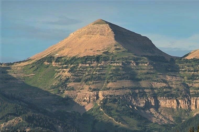 Hodges PeakSummit · ~5 min drivePhoto: Intermountain Forest Service, USDA Region 4 Photography, Public domain (via Wikimedia Commons)
- Ouzel FallsWaterfall · ~7 min drive
- Gros Ventre RiverCanoeing · ~12 min drivePhoto: Daniel Mayer, CC BY-SA 3.0 (via Wikimedia Commons)
- Granite Falls Hot SpringsHot spring · ~19 min drive
