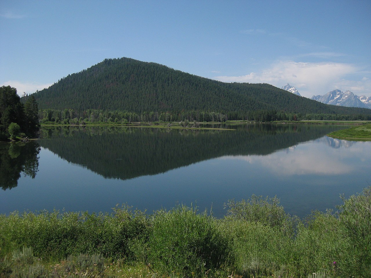
Breccia Peak
 Photo: Cactus26, CC BY-SA 3.0 (via Wikimedia Commons)
- 11,006 ft
- summit
- Forest Service
- managed by
Is Breccia Peak open right now?
No closures listed
The Forest Service lists no closures for Bridger-Teton National Forest.
As of · Source: USFS · Bridger-Teton National Forest. Agencies don't list every closure — check before you go.
Breccia Peak is a summit of about 11,006 feet in Teton County, Wyoming, inside the Teton Wilderness. The peak lies within the Blackrock Ranger District of Bridger-Teton National Forest, which the Forest Service manages. The nearest town is DuNoir, about 20 miles away. Sublette Pass and the Brooks Lake Snowmobile Trail are both within about 3 miles. Brooks Lake Campground and Pinnacles Campground are a little farther out, each about 4.5 miles away.
Conditions and forecast
Daily highs and lows, wind and the chance of precipitation at the summit for the next 7 days, from the Open-Meteo model.
- Summit elevation
- 11,006 ft
- Land manager
- Forest Service
Elevation from USGS 3D Elevation Program terrain data (about 10 m resolution).
We don't know of a mapped trail or route to the summit of Breccia Peak. Plan the approach with local maps, a guidebook or a local guide, and check conditions before you go.
Questions about Breccia Peak
How tall is Breccia Peak?
11,006 ft (3,355 m).
Is there a trail to the top of Breccia Peak?
We don't know of a mapped trail or route to the summit. Plan the approach with local maps, a guidebook or a local guide.
- Deer Creek Mountain9,613 ft · Wyoming1 route13 mi away
- Gravel Peak9,693 ft · Wyoming1 route21 mi away
- Sunday Peak8,980 ft · Wyoming1 route21 mi away
- Grand View Point7,588 ft · Wyoming1 route25 mi away
 Lunch Tree Hill6,958 ft · Wyoming2 routes26 mi awayPhoto: Miguel Hermoso Cuesta, CC BY-SA 4.0 (via Wikimedia Commons)
 Shadow Mountain8,256 ft · Wyoming1 route26 mi awayPhoto: LikeGrantTookRichmond, CC BY-SA 3.0 (via Wikimedia Commons)
- Sublette PassHiking2.7 mi
- Brooks Lake Snowmobile TrailCross-country skiing2.8 mi
- Rainbow Lake TrailHiking3.1 mi
 Brooks Lake CampgroundCampingPhoto: Viplav Valluri, CC BY-SA 4.0 (via Wikimedia Commons)4.3 mi
- Pinnacles CampgroundCamping4.5 mi
- Angles CgCamping6.9 mi
- South Buffalo ForkCanoeing8.2 mi
- West Du Noir CreekCanoeing9.9 mi
Source: Roamze catalog (indexable pages within 10 miles, PostGIS distance)
 Two Ocean MountainSummit · ~6 min drivePhoto: Bridger Teton NF, Public domain (via Wikimedia Commons)
 Pinnacle ButtesSummit · ~11 min drivePhoto: Yi Ding, CC BY-SA 2.0 (via Wikimedia Commons)
 Younts PeakSummit · ~29 min drivePhoto: Terry Dolan, NPS, Public domain (via Wikimedia Commons)
 Thorofare MountainSummit · ~31 min drivePhoto: ShenandoahNPS, Public domain (via Wikimedia Commons)
 Signal MountainSummit · ~43 min drivePhoto: Thomas Kriese, CC BY 2.0 (via Wikimedia Commons)
- Lunch Tree HillSummit · ~45 min drivePhoto: Miguel Hermoso Cuesta, CC BY-SA 4.0 (via Wikimedia Commons)
- Shadow MountainSummit · ~45 min drivePhoto: LikeGrantTookRichmond, CC BY-SA 3.0 (via Wikimedia Commons)
 Sheep MountainSummit · ~48 min drivePhoto: Acroterion, CC BY-SA 4.0 (via Wikimedia Commons)
 Mount HancockSummit · ~52 min drivePhoto: R. Lake, Public domain (via Wikimedia Commons)
 Barlow PeakSummit · ~53 min drivePhoto: J. D. Love, Public domain (via Wikimedia Commons)
