Brush Creek
- 4.0 mi
- loop
- 1,132 ft
- climb
- 7,741 ft
- high point
- Loop
- route
Is Brush Creek open right now?
Alert in the area
The Forest Service lists an alert for Powder River Ranger District.
Foot Creek Fire Road Closures
Agency alert covering Powder River Ranger District · Order 02-02-01-26-08 · USFS · Powder River Ranger District
As of · Source: USFS · Powder River Ranger District. Agencies don't list every closure — check before you go.
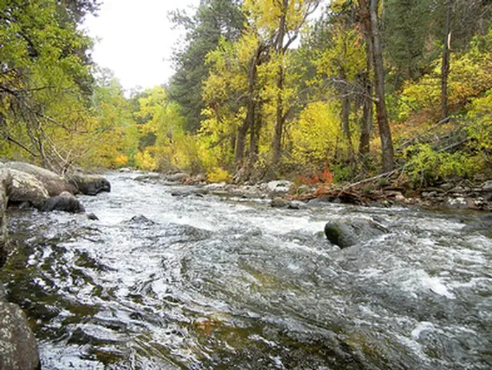
Brush Creek is a 4-mile loop hike in the Powder River Ranger District of Bighorn National Forest in Wyoming, managed by the Forest Service. The trail rises from a low point of about 6,585 feet to a high of about 7,741 feet, with a total elevation gain of 1,132 feet. The route is rated moderate. It is a natural-surface loop that accommodates horses and bikes, and it stays open all year. A trip takes about two hours. Saddle Crossing lies about a mile away and Grommund Point about 1.4 miles off. For camping, Middle Fork and Hettinger Group Area are both within about 3.6 miles.
- Saddle CrossingHiking1.2 mi
- Grommund PointHiking1.4 mi
 Middle ForkCampingPhoto: Recreation.gov (RIDB) / public domain3.4 mi
 Hettinger Group AreaCampingPhoto: Recreation.gov (RIDB) / public domain3.6 mi
- South Fork CampgroundRock climbing3.8 mi
 Mosier GulchRiver fishing3.8 mi
- South Clear CreekCanoeing4.3 mi
- Highway 16 graniteRock climbing8.2 mi
Source: Roamze catalog (indexable pages within 10 miles, PostGIS distance)
- Saddle CrossingHiking · ~2 min drive
- Camp RobertsHiking · ~5 min drive
- FaceHiking · ~7 min drive
- Grommund PointHiking · ~2 min drive
- GrommundHiking · ~5 min drive
- Johnson CreekHiking · ~9 min drive
- CROSS H HORSE TRAILSHiking · ~4 min drive
- William J Mentock TrailHiking · ~10 min drive
- Bear GulchHiking · ~9 min drive
- Tie HackHiking · ~4 min drive
