Grommund Point
- 2.4 mi
- round trip
- 245 ft
- climb
- 7,542 ft
- high point
- Out and back
- route
Is Grommund Point open right now?
Alert in the area
The Forest Service lists an alert for Powder River Ranger District.
Foot Creek Fire Road Closures
Agency alert covering Powder River Ranger District · Order 02-02-01-26-08 · USFS · Powder River Ranger District
As of · Source: USFS · Powder River Ranger District. Agencies don't list every closure — check before you go.
Grommund Point is an easy out-and-back hike in the Powder River Ranger District of Bighorn National Forest in Wyoming, about 9 miles from the town of Buffalo. The trail is 2.4 miles long, with a one-way climb of 245 feet from a low point of about 7,031 feet to a high of about 7,542 feet. The route is on natural surface, and it is open to both horses and bikes, according to the Forest Service's trail records. That makes it a practical choice for riders and pack animals as well as hikers. Saddle Crossing sits just 0.2 miles away, and the CROSS H HORSE TRAILS are about 1.3 miles off. For an overnight stay, South Fork Campground and the Mosier Gulch fishing area are both about 4 miles away.
- Saddle CrossingHiking0.2 mi
- CROSS H HORSE TRAILSHiking1.3 mi
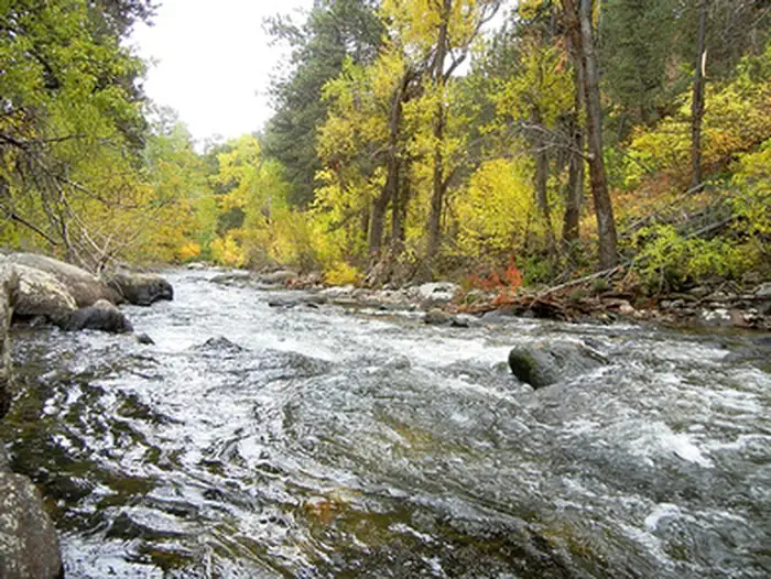 Mosier GulchRiver fishing4 mi
 South Fork (wyoming)CampingPhoto: Recreation.gov (RIDB) / public domain4 mi
- South Fork CampgroundRock climbing4.1 mi
 Middle ForkCampingPhoto: Recreation.gov (RIDB) / public domain4.3 mi
- South Clear CreekCanoeing4.7 mi
- Highway 16 graniteRock climbing7.4 mi
Source: Roamze catalog (indexable pages within 10 miles, PostGIS distance)
- Saddle CrossingHiking · Next door
- Brush CreekHiking · ~2 min drive
- FaceHiking · ~9 min drive
- CROSS H HORSE TRAILSHiking · ~2 min drive
- Camp RobertsHiking · ~6 min drive
- Sherd Lake LoopHiking · ~11 min drive
- Little SourdoughHiking · ~4 min drive
- William J Mentock TrailHiking · ~10 min drive
- Johnson CreekHiking · ~11 min drive
- Grouse Mountain TrailHiking · ~5 min drive
