Mosier Gulch
- Jun–Oct
- best months
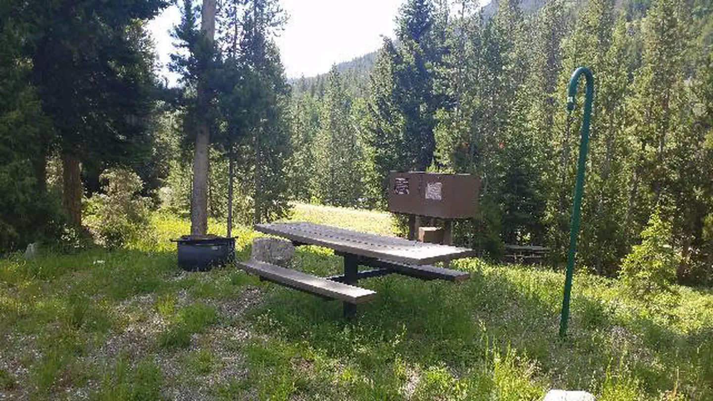
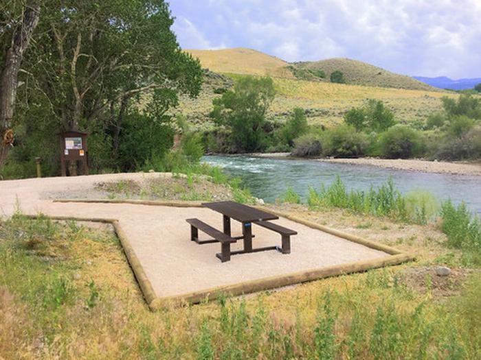
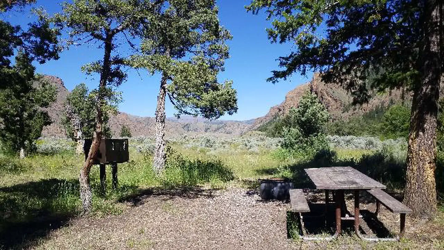
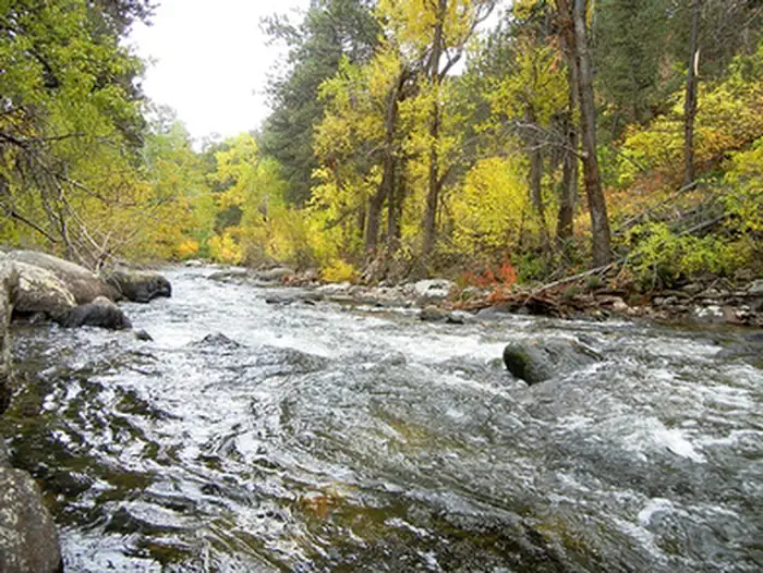
Mosier Gulch Picnic Area is managed by the Bureau of Land Management and the City of Buffalo and is adjacent to the Bighorn National Forest, managed by the USDA Forest Service. This ponderosa pine-forested area lies at the foothills of the Bighorn Mountains. The recreation area encompasses almost 900 acres of ponderosa pine-forested lands ranging from 5,500 feet to 6,800 feet, and is a popular hiking area. A developed roadside picnic area complete with multiple parking areas, picnic tables, pedestal fire grates, and a vault toilet are available. In addition, the picnic area is along the Clear Creek Trail which leads back to the city of Buffalo to the east or into the Bighorn Mountains to the west. Other opportunities at Mosier Gulch include trout fishing along Clear Creek, hunting and wildlife viewing with opportunities to see mule deer, antelope, eagles, and occasionally black bear and elk. Mosier Gulch is a day use only facility. Camping, open fires, and target shooting are prohibited. There is a hand-pump well available during the summer months. Please help us keep the area clean and pack your trash out as garbage collection is not provided.
- Joe's TrailHiking0.3 mi
- Grouse Mountain TrailHiking1.2 mi
- Clear CreekCanoeing2 mi
- William J Mentock TrailHiking2 mi
- Rock CreekCanoeing6.1 mi
 Middle ForkCampingPhoto: Recreation.gov (RIDB) / public domain7 mi
 Hettinger Group AreaCampingPhoto: Recreation.gov (RIDB) / public domain7.2 mi
- South Fork CampgroundRock climbing7.6 mi
Source: Roamze catalog (indexable pages within 10 miles, PostGIS distance)
- Poison Creek TrailRiver fishing · ~28 min drive
- Tass ReservoirLake fishing · ~16 min drive
- Buffalo, WYRiver fishing · ~8 min drive
- Patch ReservoirLake fishing · ~18 min drive
- Old Crow LakeLake fishing · ~21 min drive
- Seven Brothers LakesLake fishing · ~22 min drive
- Kaufman ReservoirLake fishing · ~25 min drive
- South Piney LakesLake fishing · ~27 min drive
- Glacier LakeLake fishing · ~30 min drive
- Sawtooth LakesLake fishing · ~31 min drive
Best time to visit Mosier Gulch
Best months: June–October. Best months have typical highs of 55–85 °F, lows of 30 °F or warmer (32 °F where the station doesn't record snow), at most one snowy day and no more than 12 wet days.
Jan
38° / 17°
5 wet
Feb
37° / 17°
6 wet
Mar
46° / 25°
7 wet
Apr
53° / 32°
10 wet
May
63° / 41°
13 wet
Jun
74° / 50°
11 wet
Jul
85° / 58°
8 wet
Aug
83° / 57°
7 wet
Sep
72° / 47°
7 wet
Oct
57° / 35°
7 wet
Nov
45° / 25°
5 wet
Dec
37° / 17°
4 wet
Typical high / low (°F) and days with rain or snow, 1991–2020. Measured at Buffalo Johnson Co Ap, WY, 5.7 mi away at 4,967 ft. The station sits about 800 ft lower than this place, so expect it a little cooler here. This station doesn't record snowfall. Source: NOAA NCEI U.S. Climate Normals 1991–2020.