Bear Gulch
- 4.0 mi
- round trip
- 1,429 ft
- climb
- 7,901 ft
- high point
- Out and back
- route
Is Bear Gulch open right now?
Alert in the area
The Forest Service lists an alert for Powder River Ranger District.
Foot Creek Fire Road Closures
Agency alert covering Powder River Ranger District · Order 02-02-01-26-08 · USFS · Powder River Ranger District
As of · Source: USFS · Powder River Ranger District. Agencies don't list every closure — check before you go.
Bear Gulch is a hard hike of about 4 miles on natural-surface trails in the Powder River Ranger District of Bighorn National Forest in Wyoming. It is managed by the Forest Service, and the route is an out-and-back that gains and then loses about 1,429 feet over the course of the trip. The steepest stretch, a 10% grade, comes around 1.3 miles in. Bikes are allowed on the trail. The hike starts at about 7,900 feet and reaches a high of about 7,900 feet, with the low point at about 7,200 feet. The elevation gain for the one-way trip is about 666 feet, so the round trip adds up to the full 1,429 feet of climbing. Nearby options include South Rock Creek and North Rock Creek Cutoff, both about 1.2 miles away, and French Mesa at about 1.5 miles. Hunter Campground, about 2.2 miles off, is the closest place to camp.
- South Rock CreekHiking1.2 mi
- NORTH ROCK CREEK CUTOFFHiking1.2 mi
- French MesaHiking1.5 mi
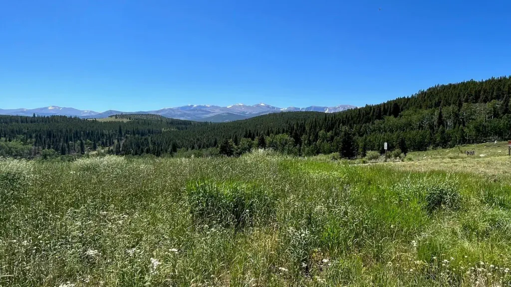 Hunter CampgroundCampingPhoto: Recreation.gov (RIDB) / public domain2.2 mi
 Middle ForkCampingPhoto: Recreation.gov (RIDB) / public domain4.2 mi
- South Clear CreekCanoeing5.7 mi
- South Fork CampgroundRock climbing5.8 mi
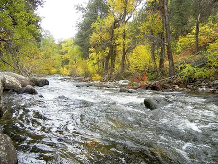 Mosier GulchRiver fishing7.2 mi
Source: Roamze catalog (indexable pages within 10 miles, PostGIS distance)
- South Rock CreekHiking · ~2 min drive
- Johnson CreekHiking · ~3 min drive
- South Rock Creek CutoffHiking · ~4 min drive
- NORTH ROCK CREEK CUTOFFHiking · ~2 min drive
- DitchHiking · ~5 min drive
- Elk LakeHiking · ~6 min drive
- French MesaHiking · ~3 min drive
- French CreekHiking · ~6 min drive
- Seven BrothersHiking · ~6 min drive
- Spike of S. Rock Cr.Hiking · ~4 min drive
