Wyoming · Canoeing · Buffalo
South Clear Creek
- 10.3 mi
- distance
- 9,384 ft
- high point
Is South Clear Creek open right now?
Alert in the area
The Forest Service lists an alert for Powder River Ranger District.
Foot Creek Fire Road Closures
Agency alert covering Powder River Ranger District · Order 02-02-01-26-08 · USFS · Powder River Ranger District
As of · Source: USFS · Powder River Ranger District. Agencies don't list every closure — check before you go.
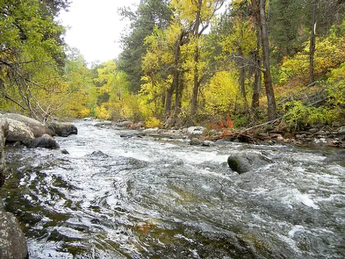
South Clear Creek is a 10-mile paddling stretch near Buffalo, Wyoming. It flows year-round. USGS models an average flow of about 50 cfs and a gradient of about 240.5 feet per mile. Land along it is managed by the U.S. Forest Service.
- South Fork CampgroundCamping0.6 mi
 South Fork (wyoming)CampingPhoto: Recreation.gov (RIDB) / public domain0.7 mi
- Sherd Lake LoopHiking1.7 mi
- Camp RobertsHiking1.9 mi
- Highway 16 graniteRock climbing6.5 mi
 Mosier GulchRiver fishing8.1 mi
- Crazy Woman CliffRock climbing8.6 mi
- South Rock CreekCanoeing9.4 mi
Source: Roamze catalog (indexable pages within 10 miles, PostGIS distance)
 Tensleep CreekCanoeing · ~40 min drivePhoto: James St. John, CC BY 2.0 (via Wikimedia Commons)
- North Cove Boating SiteBoat launch · ~25 min drive
 Shell CreekCanoeing · ~1h 8m drivePhoto: Clayton B. Fraser, Public domain (via Wikimedia Commons)
 Nowood RiverCanoeing · ~1h 10m drivePhoto: Mysterymanblue, CC0 (via Wikimedia Commons)
 Tongue RiverCanoeing · ~1h 14m drivePhoto: USGS, Public domain (via Wikimedia Commons)
- South Rock CreekCanoeing · ~16 min drive
- Clear CreekCanoeing · ~17 min drive
- Rock CreekCanoeing · ~23 min drive
- North Fork Crazy Woman CreekCanoeing · ~24 min drive
- Middle Fork Crazy Woman CreekCanoeing · ~29 min drive
