Tie Hack
- 2.3 mi
- round trip
- 543 ft
- climb
- 7,743 ft
- high point
- Out and back
- route
Is Tie Hack open right now?
Alert in the area
The Forest Service lists an alert for Powder River Ranger District.
Foot Creek Fire Road Closures
Agency alert covering Powder River Ranger District · Order 02-02-01-26-08 · USFS · Powder River Ranger District
As of · Source: USFS · Powder River Ranger District. Agencies don't list every closure — check before you go.
Tie Hack is an easy out-and-back hike in the Powder River Ranger District of Bighorn National Forest in Wyoming, about 2.3 miles long with a total elevation gain of 543 feet. The trail starts at a low point of about 7,299 feet and climbs to a high of about 7,743 feet. The route is on natural surface, and the Forest Service allows both horses and bikes. It is open year-round, so it works for a short outing at any time of year. Camp Roberts lies about a mile away, and South Fork Campground and the South Fork (Wyoming) campground are each about 1.2 miles off. Little Sourdough is about 1.8 miles away.
- Camp RobertsHiking1 mi
 South Fork (wyoming)CampingPhoto: Recreation.gov (RIDB) / public domain1.2 mi
- South Fork CampgroundRock climbing1.3 mi
 Hettinger Group AreaCampingPhoto: Recreation.gov (RIDB) / public domain1.5 mi
- Little SourdoughHiking1.8 mi
- South Clear CreekCanoeing1.9 mi
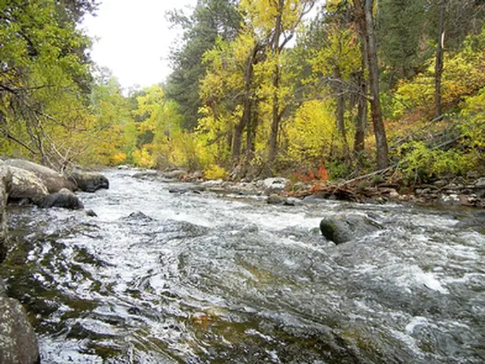 Mosier GulchRiver fishing6.2 mi
- Highway 16 graniteRock climbing6.8 mi
Source: Roamze catalog (indexable pages within 10 miles, PostGIS distance)
- Camp RobertsHiking · ~2 min drive
- Little SourdoughHiking · ~3 min drive
- Sherd Lake LoopHiking · ~6 min drive
- Brush CreekHiking · ~4 min drive
- CROSS H HORSE TRAILSHiking · ~4 min drive
- AngelineHiking · ~9 min drive
- GrommundHiking · ~7 min drive
- Saddle CrossingHiking · ~5 min drive
- DitchHiking · ~9 min drive
- South Fork PondsHiking · ~8 min drive
