Johnson Creek
- 5.8 mi
- round trip
- 457 ft
- climb
- 7,875 ft
- high point
- Out and back
- route
Is Johnson Creek open right now?
Alert in the area
The Forest Service lists an alert for Powder River Ranger District.
Foot Creek Fire Road Closures
Agency alert covering Powder River Ranger District · Order 02-02-01-26-08 · USFS · Powder River Ranger District
As of · Source: USFS · Powder River Ranger District. Agencies don't list every closure — check before you go.
Johnson Creek is a hard hike in the Powder River Ranger District of Bighorn National Forest in Wyoming, about 5.8 miles long with a one-way climb of 457 feet. The trail is managed by the Forest Service and has a natural surface, and bikes are allowed. The route is an out-and-back that starts at about 7,105 feet and reaches a high point of about 7,875 feet. It's a short trip in distance but a steady climb, and the trail's natural surface makes it a rougher ride for mountain bikers. French Creek and Bear Gulch are both mountain biking spots within about a mile and a half. Hunter Campground is about 3.6 miles away, and Middle Fork campground is about 5 miles away.
- French CreekMountain biking0.9 mi
- Bear GulchMountain biking1.4 mi
- Fire Box Cut-OffMountain biking1.6 mi
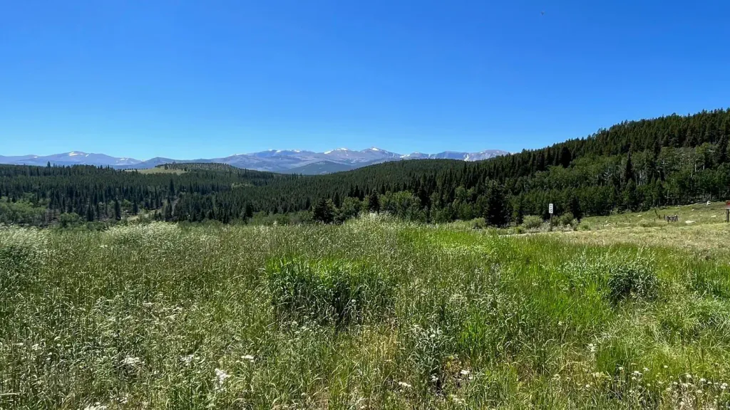 Hunter CampgroundCampingPhoto: Recreation.gov (RIDB) / public domain3.6 mi
 Middle ForkCampingPhoto: Recreation.gov (RIDB) / public domain5 mi
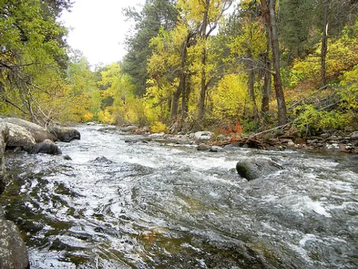 Mosier GulchRiver fishing6.2 mi
- South Fork CampgroundRock climbing6.6 mi
- South Clear CreekCanoeing6.7 mi
Source: Roamze catalog (indexable pages within 10 miles, PostGIS distance)
- Bear GulchHiking · ~3 min drive
- Fire Box Cut-OffHiking · ~3 min drive
- South Rock Creek CutoffHiking · ~6 min drive
- French CreekHiking · ~3 min drive
- South Rock CreekHiking · ~4 min drive
- Elk LakeHiking · ~8 min drive
- FaceHiking · ~5 min drive
- NORTH ROCK CREEK CUTOFFHiking · ~4 min drive
- Balm of GileadHiking · ~8 min drive
- DitchHiking · ~7 min drive
