Black Mountain
 Photo: An Errant Knight, CC BY-SA 4.0 (via Wikimedia Commons)
- 10,800 ft
- summit
- Forest Service
- managed by
Is Black Mountain open right now?
No closures listed
The Forest Service lists no closures for Manti-La Sal National Forest.
As of · Source: USFS · Manti-La Sal National Forest. Agencies don't list every closure — check before you go.
Black Mountain is a summit of about 10,800 feet in Sevier County, Utah, on the Ferron Ranger District of the Manti-La Sal National Forest. The nearest town is Mayfield, about 14 miles away, and the land is managed by the Forest Service. Several hikes start close by, including Pine Creek about 3 miles away and Salina Flats at about 5 miles. For an overnight base, Twelve Mile Flat campground is roughly 8 miles off, and Ferron Reservoir campground is about 9.5 miles away.
Conditions and forecast
Daily highs and lows, wind and the chance of precipitation at the summit for the next 7 days, from the Open-Meteo model.
- Summit elevation
- 10,800 ft
- Land manager
- Forest Service
Elevation from USGS 3D Elevation Program terrain data (about 10 m resolution).
We don't know of a mapped trail or route to the summit of Black Mountain. Plan the approach with local maps, a guidebook or a local guide, and check conditions before you go.
Questions about Black Mountain
How tall is Black Mountain?
10,800 ft (3,292 m).
Is there a trail to the top of Black Mountain?
We don't know of a mapped trail or route to the summit. Plan the approach with local maps, a guidebook or a local guide.
- Pine CreekHiking3.2 mi
- BIG RIDGE #025-INC.Hiking3.5 mi
- White MountainHiking3.6 mi
- Salina FlatsHiking4.6 mi
 Twelve Mile FlatCampingPhoto: Recreation.gov (RIDB) / public domain7.8 mi
- Salina Creek Second Crossing TrailheadCamping7.9 mi
- Indian Creek Guard StationCamping9.2 mi
 Ferron ReservoirCampingPhoto: Recreation.gov (RIDB) / public domain9.5 mi
Source: Roamze catalog (indexable pages within 10 miles, PostGIS distance)
 Temple HillSummit · ~34 min drivePhoto: Bobjgalindo, CC BY-SA 4.0 (via Wikimedia Commons)
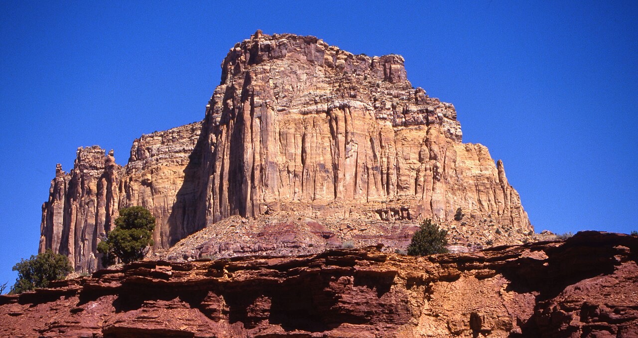 Square TopSummit · ~1h 2m drivePhoto: Bureau of Land Management - Utah, Public domain (via Wikimedia Commons)
 Cathedral MountainSummit · ~1h 2m drivePhoto: Kevin Neubauer, CC BY 2.0 (via Wikimedia Commons)
 Temple of the SunSummit · ~1h 12m drivePhoto: Amy Washuta, CC BY 2.0 (via Wikimedia Commons)
 Temple of the MoonSummit · ~1h 12m drivePhoto: tsaiproject from Canada, CC BY 2.0 (via Wikimedia Commons)
 Bottleneck PeakSummit · ~1h 14m drivePhoto: U.S. Department of the Interior, CC BY-SA 2.0 (via Wikimedia Commons)
 Jailhouse RockSummit · ~1h 16m drivePhoto: Greg Willis, CC BY-SA 3.0 (via Wikimedia Commons)
 Assembly Hall PeakSummit · ~1h 17m drivePhoto: Sandy Brown Jensen, CC BY 2.0 (via Wikimedia Commons)
 Window Blind PeakSummit · ~1h 17m drivePhoto: Bureau of Land Management - Utah, Public domain (via Wikimedia Commons)
 West HillsSummit · ~1h 23m drivePhoto: inkknife_2000 (7.5 million views +), CC BY-SA 2.0 (via Wikimedia Commons)

