Whiskey Knoll
- 11,539 ft
- summit
- 1
- way up
Is Whiskey Knoll open right now?
Alert in the area
The Forest Service lists 2 alerts for Fishlake National Forest.
PST 66 Rock Canyon Trail Temporarily Closed
Agency alert covering Fishlake National Forest · USFS · Fishlake National Forest
TERMINATION OF STAGE 1 FIRE RESTRICTION ORDER
Agency alert covering Fishlake National Forest · Order 0408-26-10 · USFS · Fishlake National Forest
As of · Source: USFS · Fishlake National Forest. Agencies don't list every closure — check before you go.
Whiskey Knoll is a summit in the Fremont River Ranger District of Fishlake National Forest in central Utah. The nearest town is Koosharem, about 12 miles away. Other spots lie close by. The Rock Canyon (Tasha Creek) mountain bike route is about 1.7 miles away, and the High Top hike is about 2 miles off. For an overnight base, Frying Pan campground is roughly 2.7 miles from the knoll, and Tasha Equestrian campground is about 3.3 miles away.
Conditions and forecast
Daily highs and lows, wind and the chance of precipitation at the summit and fishlake hightop (south) trailhead for the next 7 days, from the Open-Meteo model.
- Summit elevation
- 11,539 ft
Elevation from USGS 3D Elevation Program terrain data (about 10 m resolution).
Map © Mapbox © OpenStreetMap contributors Questions about Whiskey Knoll
How tall is Whiskey Knoll?
11,539 ft (3,517 m).
How many routes go to the summit of Whiskey Knoll?
One: High Top.
Where do the routes up Whiskey Knoll start?
High Top starts at Fishlake Hightop (South) Trailhead (about 11,412 ft).
When is the best time to climb Whiskey Knoll?
Year-round.
- Hilgard Mountain11,534 ft · Utah1 route10 mi away
- Monument Peak11,048 ft · Utah2 routes13 mi away
 Cathedral Mountain6,910 ft · Utah1 route21 mi awayPhoto: Kevin Neubauer, CC BY 2.0 (via Wikimedia Commons)
- Johnson Mesa5,687 ft · Utah2 routes35 mi away
- Coffee Peak10,000 ft · Utah1 route37 mi away
- Chokecherry Point10,771 ft · Utah1 route40 mi away
- Rock Canyon (Tasha Creek)Mountain biking1.7 mi
- High TopHiking2 mi
- Trail 2232Mountain biking2.1 mi
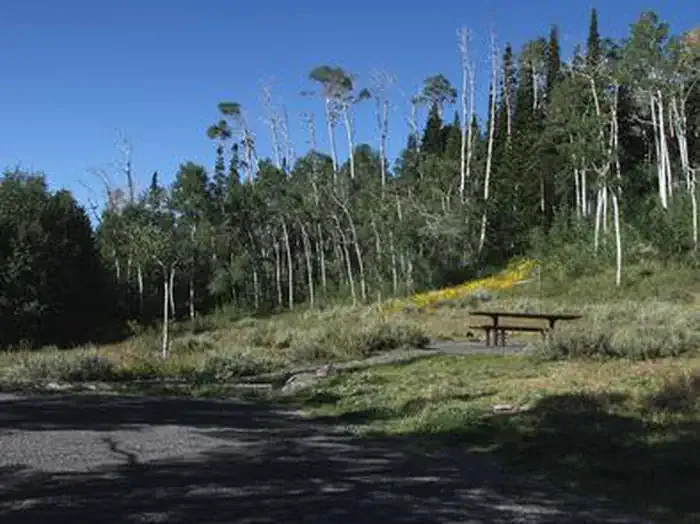 Frying PanCampingPhoto: Recreation.gov (RIDB) / public domain2.7 mi
- Frying Pan - Rec SiteCamping2.9 mi
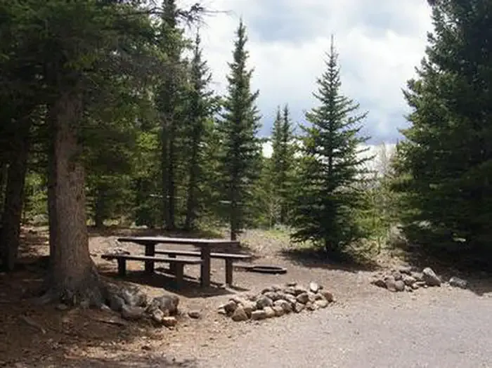 Tasha EquestrianCampingPhoto: Recreation.gov (RIDB) / public domain3.3 mi
- Mytoge Mtn. RoadRock climbing9 mi
- Back to the Forest Boulder Field (National Forest that is...)Rock climbing9.3 mi
Source: Roamze catalog (indexable pages within 10 miles, PostGIS distance)
- Cathedral MountainSummit · ~37 min drivePhoto: Kevin Neubauer, CC BY 2.0 (via Wikimedia Commons)
 Black MountainSummit · ~50 min drivePhoto: An Errant Knight, CC BY-SA 4.0 (via Wikimedia Commons)
 Temple of the SunSummit · ~53 min drivePhoto: Amy Washuta, CC BY 2.0 (via Wikimedia Commons)
 Big Rock Candy MountainSummit · ~53 min drivePhoto: hakkun, CC BY-SA 3.0 (via Wikimedia Commons)
 Temple of the MoonSummit · ~54 min drivePhoto: tsaiproject from Canada, CC BY 2.0 (via Wikimedia Commons)
 Jailhouse RockSummit · ~54 min drivePhoto: Greg Willis, CC BY-SA 3.0 (via Wikimedia Commons)
 Pectols PyramidSummit · ~1h 2m drivePhoto: Anna Irene, CC BY-SA 2.0 (via Wikimedia Commons)
 Ferns NippleSummit · ~1h 6m drivePhoto: sf-dvs, CC BY 2.0 (via Wikimedia Commons)
 Delano PeakSummit · ~1h 8m drivePhoto: ALK at English Wikipedia, CC BY-SA 3.0 (via Wikimedia Commons)
 Mount BelknapSummit · ~1h 9m drivePhoto: Intermountain Forest Service, USDA Region 4 Photography, Public domain (via Wikimedia Commons)

