Hilgard Mountain
- 11,534 ft
- summit
- 1
- way up
Is Hilgard Mountain open right now?
Alert in the area
The Forest Service lists 2 alerts for Fishlake National Forest.
PST 66 Rock Canyon Trail Temporarily Closed
Agency alert covering Fishlake National Forest · USFS · Fishlake National Forest
TERMINATION OF STAGE 1 FIRE RESTRICTION ORDER
Agency alert covering Fishlake National Forest · Order 0408-26-10 · USFS · Fishlake National Forest
As of · Source: USFS · Fishlake National Forest. Agencies don't list every closure — check before you go.
Hilgard Mountain is a summit in Utah's Fishlake National Forest, within the Fremont River Ranger District. The nearest town is Fremont, about 16 miles away. The closest trails are Hilgard, about a mile away, along with Last Chance Road and the Great Western Trail near Loa, each roughly a mile and a half off. For an overnight stay, Paiute Campground lies about 7 miles away.
Conditions and forecast
Daily highs and lows, wind and the chance of precipitation at the summit and route start for the next 7 days, from the Open-Meteo model.
- Summit elevation
- 11,534 ft
Elevation from USGS 3D Elevation Program terrain data (about 10 m resolution).
Map © Mapbox © OpenStreetMap contributors Questions about Hilgard Mountain
How tall is Hilgard Mountain?
11,534 ft (3,516 m).
How many routes go to the summit of Hilgard Mountain?
One: Hilgard.
When is the best time to climb Hilgard Mountain?
Year-round.
- Whiskey Knoll11,539 ft · Utah1 route10 mi away
 Cathedral Mountain6,910 ft · Utah1 route16 mi awayPhoto: Kevin Neubauer, CC BY 2.0 (via Wikimedia Commons)
- Monument Peak11,048 ft · Utah2 routes23 mi away
- Johnson Mesa5,687 ft · Utah2 routes32 mi away
- Chokecherry Point10,771 ft · Utah1 route39 mi away
- South Mountain10,391 ft · Utah1 route41 mi away
- HilgardHiking1.2 mi
- Last Chance RoadHiking1.5 mi
- Great Western Trail, LoaHiking1.6 mi
- Gwt Alt (Willies Flat)Hiking1.6 mi
- Paiute CampgroundCamping7.4 mi
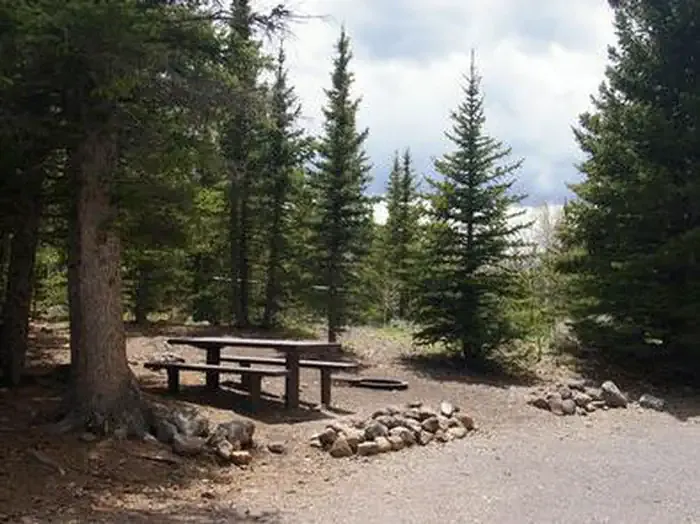 Tasha EquestrianCampingPhoto: Recreation.gov (RIDB) / public domain7.6 mi
- Tasha Equestrian - Rec SiteCamping7.9 mi
- Harves River Cua DispersedCamping8.3 mi
Source: Roamze catalog (indexable pages within 10 miles, PostGIS distance)
- Cathedral MountainSummit · ~28 min drivePhoto: Kevin Neubauer, CC BY 2.0 (via Wikimedia Commons)
 Black MountainSummit · ~39 min drivePhoto: An Errant Knight, CC BY-SA 4.0 (via Wikimedia Commons)
 Temple of the SunSummit · ~43 min drivePhoto: Amy Washuta, CC BY 2.0 (via Wikimedia Commons)
 Temple of the MoonSummit · ~43 min drivePhoto: tsaiproject from Canada, CC BY 2.0 (via Wikimedia Commons)
 Jailhouse RockSummit · ~45 min drivePhoto: Greg Willis, CC BY-SA 3.0 (via Wikimedia Commons)
 Pectols PyramidSummit · ~56 min drivePhoto: Anna Irene, CC BY-SA 2.0 (via Wikimedia Commons)
 Ferns NippleSummit · ~1h drivePhoto: sf-dvs, CC BY 2.0 (via Wikimedia Commons)
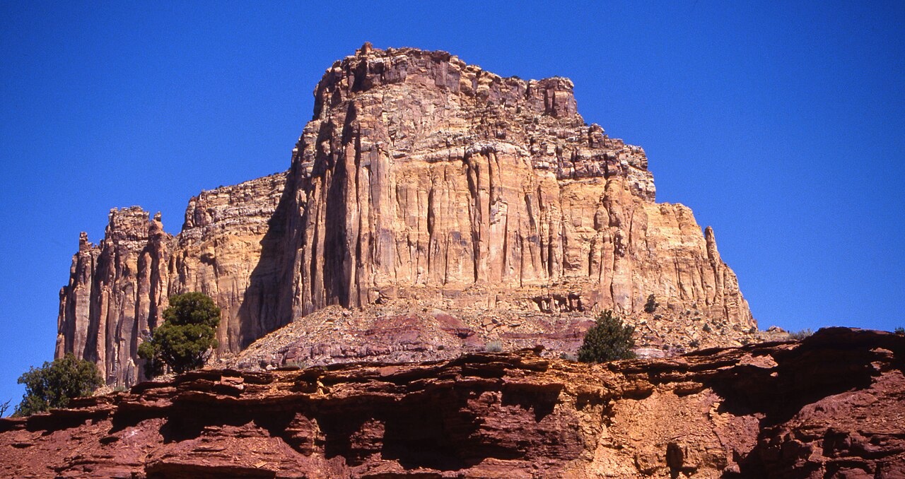 Square TopSummit · ~1h 1m drivePhoto: Bureau of Land Management - Utah, Public domain (via Wikimedia Commons)
 Golden ThroneSummit · ~1h 4m drivePhoto: Qfl247 (talk) (Transferred by Citypeek/Original uploaded by Qfl247), CC BY-SA 3.0 (via Wikimedia Commons)
 Factory ButteSummit · ~1h 5m drivePhoto: Ken Karagozian, CC BY-SA 4.0 (via Wikimedia Commons)
