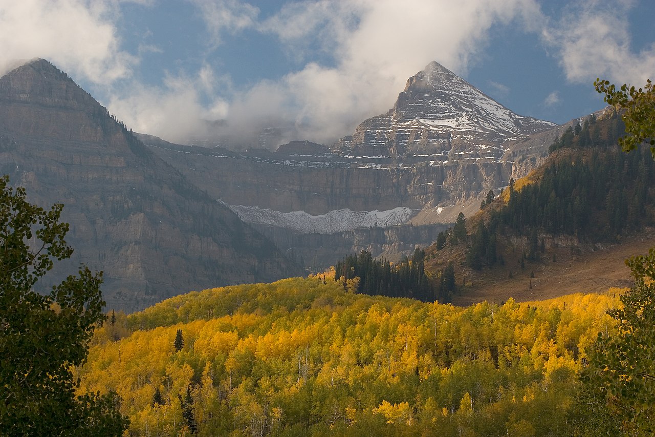
Swift Creek
- 15.7 mi
- round trip
- 2,815 ft
- climb
- 10,849 ft
- high point
- Out and back
- route
Is Swift Creek open right now?
Alert in the area
The Forest Service lists 2 alerts for Ashley National Forest.
Anvil Draw Boat Ramp Temporary Closure
Agency alert covering Ashley National Forest · Order 0401-26-01-03 · USFS · Ashley National Forest
Flaming Gorge Reservoir Water Levels
Agency alert covering Ashley National Forest · USFS · Ashley National Forest
As of · Source: USFS · Ashley National Forest. Agencies don't list every closure — check before you go.
Swift Creek is a hard hike in the High Uintas Wilderness, part of the Roosevelt Ranger District of Ashley National Forest in Utah. The Forest Service manages the land, and the trail is a natural-surface out-and-back that climbs from about 8,200 feet to about 10,850 feet over roughly 15.7 miles. The one-way gain is 2,815 feet. Horses are allowed, but bikes are not. The route is long and steep, so plan for a full day on foot. The Yellowstone hike starts just 0.1 mile away, and the Upper Yellowstone Spur West Trail is about 1.3 miles off. Jackson Park and the Jackson Park Trail are both within about 2.6 miles. For an overnight base, Yellowstone Group Campground sits about 4.3 miles away.
Keep exploring — more trails worth the drive
HIKE
Upper Yellowstone Spur West Trail
~2 min drive
0.68-mile out-and-back trail in Utah with 249 ft of elevation gain.
HIKE
Jackson Park
~4 min drive
7.14-mile out-and-back trail in Jackson Park, Utah with 1,070 ft of elevation gain.
HIKE
Jackson Park Trail
~4 min drive
31.12-mile out-and-back trail in Utah with 5,687 ft elevation gain.
HIKE
Lily Pad A
~9 min drive
7.7-mile out-and-back trail in Utah with 1,092 ft elevation gain.
HIKE
Upper Yellowstone Loop West Trail
~4 min drive
0.31-mile loop with 75 ft elevation gain in Utah
HIKE
Dry Gulch Trail
~7 min drive
10.2-mile out-and-back hike in Utah with 2,779 ft elevation gain and loss.
HIKE
Center Park Trail
~9 min drive
28.94-mile out-and-back trail in Utah with 4,555 ft elevation gain/loss.
HIKE
PETTY MOUNTAIN LOOP
~9 min drive
2.58-mile out-and-back trail in Utah with 1,056 ft elevation gain and loss.
HIKE
PC-HC Cutoff Trail
~7 min drive
4.4-mile out-and-back hike in Utah with 647 ft elevation gain and loss.
HIKE
Petty Mountain Loop Trail
~8 min drive
10.18-mile out-and-back hike in Utah with 2,447 ft elevation gain and loss.