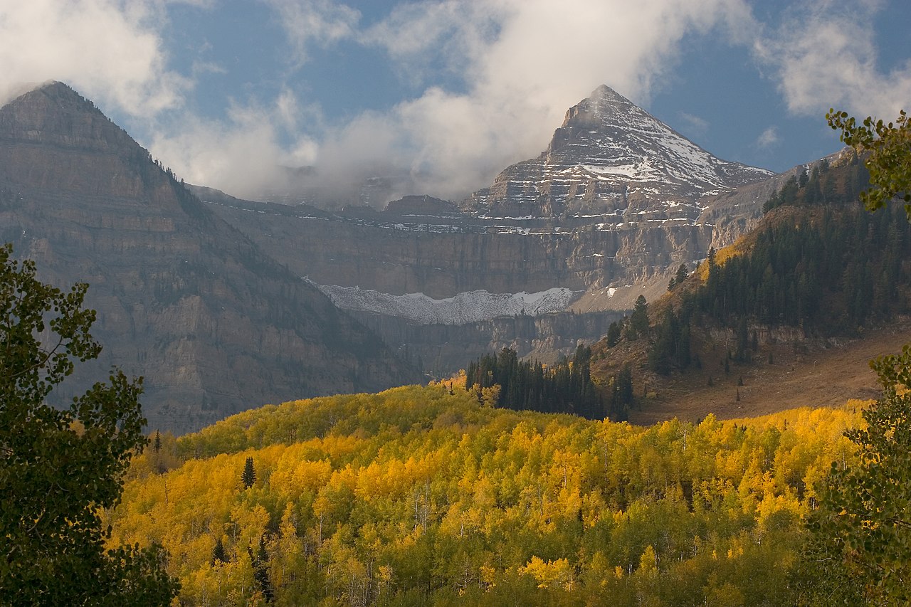
Jackson Park
- 7.1 mi
- round trip
- 1,006 ft
- climb
- 10,802 ft
- high point
- Out and back
- route
Is Jackson Park open right now?
Alert in the area
The Forest Service lists 2 alerts for Ashley National Forest.
Anvil Draw Boat Ramp Temporary Closure
Agency alert covering Ashley National Forest · Order 0401-26-01-03 · USFS · Ashley National Forest
Flaming Gorge Reservoir Water Levels
Agency alert covering Ashley National Forest · USFS · Ashley National Forest
As of · Source: USFS · Ashley National Forest. Agencies don't list every closure — check before you go.
Jackson Park is a hard hike on natural surface in the Roosevelt Ranger District of Ashley National Forest in Utah. The trail is 7.1 miles long with an elevation gain of 1,006 feet, and it follows an out-and-back route that starts at a low point of 10,208 feet and rises to a high point of 10,802 feet. The Forest Service manages the land. The trail is open year-round and allows horses, so riders can plan a trip on this route. For the next day's outing, the Upper Yellowstone Spur West Trail lies about 2.1 miles away, and the Yellowstone and Swift Creek hikes are each roughly 2.4 miles off. Yellowstone Group Campground, about 4.9 miles away, offers a place to camp.
- Upper Yellowstone Spur West TrailHiking2.1 mi
- YellowstoneHiking2.3 mi
- Swift CreekHiking2.4 mi
- Jackson Park TrailHiking2.4 mi
- Upper Yellowstone Loop West TrailHiking2.9 mi
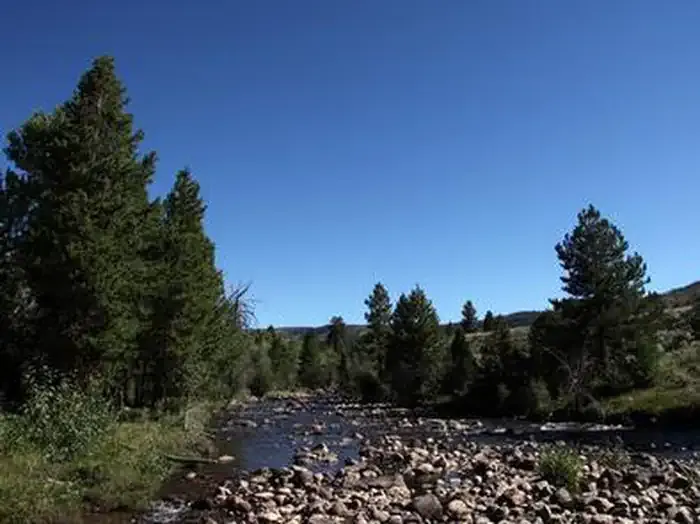 Yellowstone Group CampgroundCampingPhoto: Recreation.gov (RIDB) / public domain4.9 mi
- Yellowstone CreekCanoeing7.7 mi
- Uinta RiverCamping8.1 mi
Source: Roamze catalog (indexable pages within 10 miles, PostGIS distance)
- Upper Yellowstone Spur West TrailHiking · ~4 min drive
- YellowstoneHiking · ~4 min drive
- Lily Pad AHiking · ~6 min drive
- Center Park TrailHiking · ~13 min drive
- Farmers LakeHiking · ~10 min drive
- Swift CreekHiking · ~4 min drive
- LowlineHiking · ~6 min drive
- Jackson Park TrailHiking · ~4 min drive
- Dry Gulch TrailHiking · ~10 min drive
- Lily Pad AHiking · ~8 min drive