Center Park Trail
- 14.5 mi
- round trip
- 4,555 ft
- climb
- 11,425 ft
- high point
- Out and back
- route
Is Center Park Trail open right now?
Alert in the area
The Forest Service lists 2 alerts for Ashley National Forest.
Anvil Draw Boat Ramp Temporary Closure
Agency alert covering Ashley National Forest · Order 0401-26-01-03 · USFS · Ashley National Forest
Flaming Gorge Reservoir Water Levels
Agency alert covering Ashley National Forest · USFS · Ashley National Forest
As of · Source: USFS · Ashley National Forest. Agencies don't list every closure — check before you go.
Center Park Trail is an expert-level out-and-back hike in the Roosevelt Ranger District of Ashley National Forest in Utah, about 4 miles from Moon Lake Resort. The trail is managed by the Forest Service and runs roughly 29 miles round trip, with a total elevation gain of about 4,555 feet. The one-way climb is about 2,807 feet, and the route reaches a high point of about 11,425 feet. The trail is a steady climb, and the steepest stretch comes at about 3.3 miles in, where the grade reaches about 19%. The start sits at about 10,366 feet, and the low point on the route is about 10,332 feet. Toquer Lake lies about half a mile away, and Center Park and Petty Mountain Loop are both within about 2 miles. Moon Lake, a climbing area, is about 4 miles off.
- Toquer LakeHiking0.5 mi
- Center ParkHiking1.4 mi
- Petty Mountain LoopHiking1.9 mi
- PC-HC Cutoff TrailHiking2.9 mi
- FISH CREEKHiking3.5 mi
- Moon LakeRock climbing4 mi
- Yellowstone CreekCanoeing5.1 mi
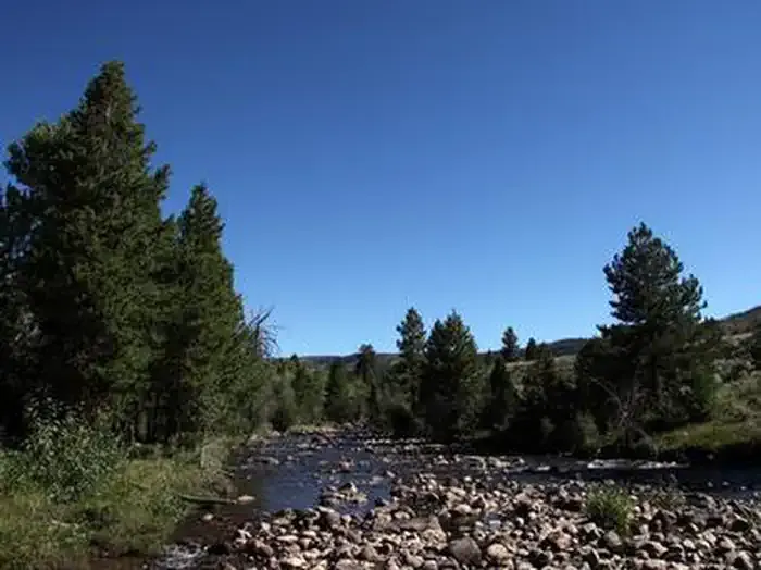 Yellowstone Group CampgroundCampingPhoto: Recreation.gov (RIDB) / public domain7.2 mi
Source: Roamze catalog (indexable pages within 10 miles, PostGIS distance)
- Toquer LakeHiking · Next door
- Toquer LakeHiking · ~2 min drive
- FISH CREEKHiking · ~6 min drive
- Brown Duck TrailHiking · ~10 min drive
- ATWINE CUTOFFHiking · ~11 min drive
- Petty Mountain LoopHiking · ~3 min drive
- Fish Creek TrailHiking · ~7 min drive
- Lake Fork TrailHiking · ~14 min drive
- PETTY MOUNTAIN LOOPHiking · ~13 min drive
- PC-HC Cutoff TrailHiking · ~5 min drive


Map and trail data © OpenStreetMap contributors
