Riverview Nature Trail
 Photo: Rick Obst, CC BY 2.0 (via Flickr)
- 0.7 mi
- round trip
- 859 ft
- climb
- 232 ft
- high point
- Out and back
- route
- May–Oct
- best months
Riverview Nature Trail is an easy out-and-back hike of about 1.3 miles, with a total elevation gain of 859 feet, in Alfred A. Loeb State Park on the coast of Oregon. The trail begins at an elevation of about 112 feet and reaches a high point of about 232 feet, with the steepest stretch near 0.3 miles in. It's a short walk that fits easily into a day spent exploring this corner of the state park. Summer is the most comfortable time to go. At a nearby weather station in Brookings, typical July highs reach about 69°F with lows near 52°F and only about four wet days, while winter months typically bring highs in the mid-50s and rain on 17 to 19 days a month. Redwood Nature, another hike, lies about 0.6 miles away, and the Miller Bar campground is about 1.2 miles off. Paddlers can reach the North Fork Chetco River, about 4.4 miles away, and the Winchuck River, about 6.6 miles away.
Local outfitters
- Turtle Rock RV Resort22 mi away
- John Carl Guide Service31 mi away
Not on Roamze yet. Their page has how to reach them.
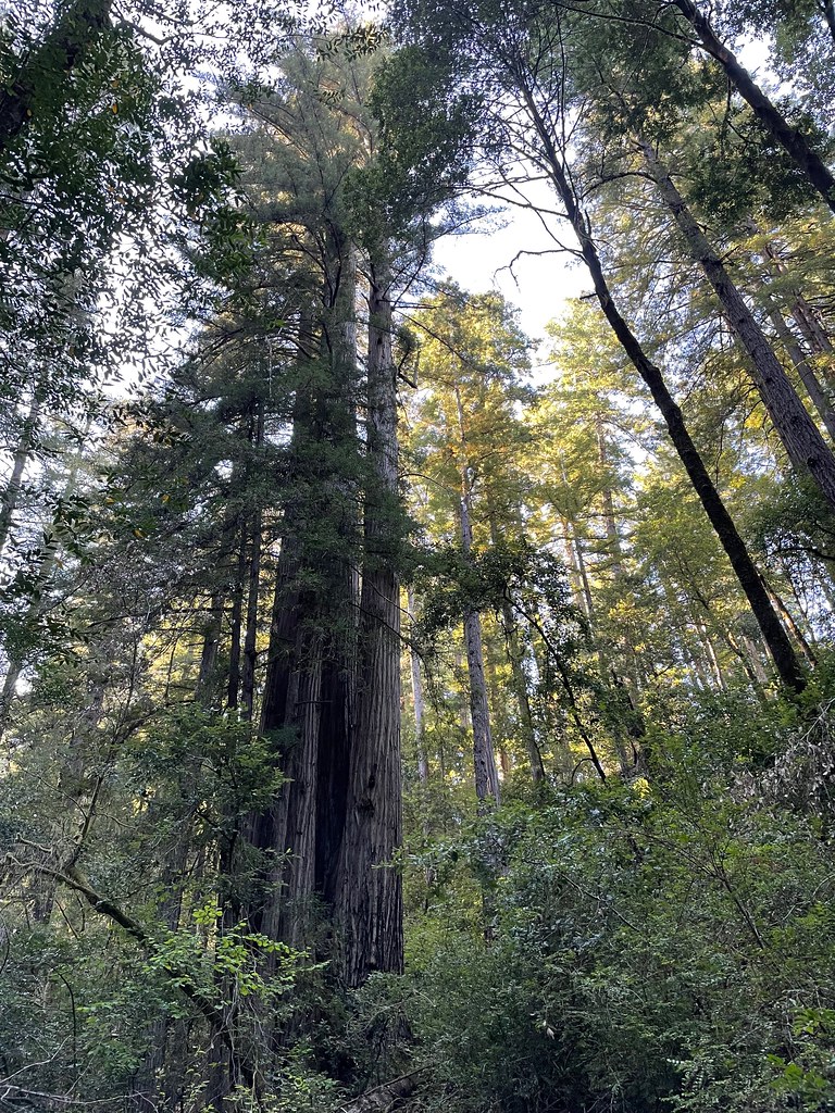 Redwood NatureHikingPhoto: bsterling, CC BY-SA 2.0 (via Flickr)0.6 mi
- Miller BarCamping1.2 mi
- Nook BarCamping2.8 mi
- Redwood BarCamping3.8 mi
- Japanese Bombing SiteHiking4.1 mi
- North Fork Chetco RiverCanoeing4.4 mi
 Winchuck RiverCanoeingPhoto: United States Forest Service, Public domain (via Wikimedia Commons)6.6 mi
- East Fork Winchuck RiverCanoeing6.7 mi
Source: Roamze catalog (indexable pages within 10 miles, PostGIS distance)
- Redwood NatureHiking · ~1 min drivePhoto: bsterling, CC BY-SA 2.0 (via Flickr)
 Oregon Redwoods - HikingHiking · ~12 min drivePhoto: Forest Service Pacific Northwest Region, Public Domain Mark (via Flickr)
 Oregon Coast TrailHiking · ~15 min drivePhoto: zappowbang, CC BY-SA 2.0 (via Flickr)
 Red MountainHiking · ~19 min drivePhoto: U.S. Forest Service- Pacific Northwest Region, Public domain (via Wikimedia Commons)
 Indian Sands TrailHiking · ~16 min drivePhoto: eugene_o, CC BY 2.0 (via Flickr)
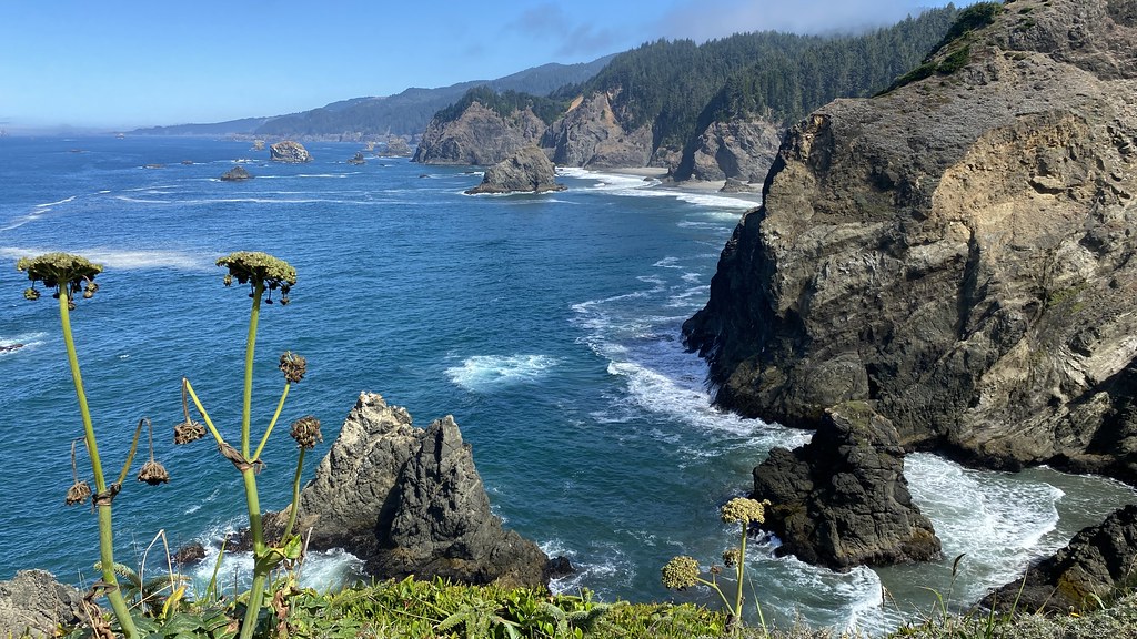 Oregon Coast TrailHiking · ~16 min drivePhoto: lamblukas, CC BY 2.0 (via Flickr)
 Chetco DivideHiking · ~19 min drivePhoto: Forest Service Pacific Northwest Region, Public Domain Mark (via Flickr)
 Upper Chetco TrailHiking · ~30 min drivePhoto: Northwest Rafting Company, CC BY 2.0 (via Flickr)
 Oregon Coast TrailHiking · ~20 min drivePhoto: Šarūnas Burdulis from USA, CC BY-SA 2.0 (via Wikimedia Commons)
- Vulcan LakeHiking · ~20 min drivePhoto: U.S. Forest Service- Pacific Northwest Region, Public domain (via Wikimedia Commons)
Also worth it near here
 Alfred A. LoebCamping · Next doorPhoto: Rick Obst — CC BY 2.0 (via Flickr)
 Mount EmilySummit · ~3 min drivePhoto: Visitor7, CC BY-SA 3.0 (via Wikimedia Commons)
- Winchuck RiverCanoeing · ~11 min drivePhoto: United States Forest Service, Public domain (via Wikimedia Commons)
- Clifford Kamph Memorial ParkBeach · ~17 min drive
Best time to visit Riverview Nature Trail
Best months: May–October. Best months have typical highs of 55–85 °F, lows of 30 °F or warmer (32 °F where the station doesn't record snow), at most one snowy day and no more than 12 wet days.
Jan
56° / 42°
19 wet
Feb
57° / 43°
17 wet
Mar
58° / 43°
17 wet
Apr
59° / 44°
15 wet
May
63° / 47°
11 wet
Jun
68° / 50°
6 wet
Jul
69° / 52°
4 wet
Aug
67° / 53°
4 wet
Sep
68° / 51°
5 wet
Oct
65° / 48°
10 wet
Nov
58° / 45°
18 wet
Dec
57° / 42°
19 wet
Typical high / low (°F) and days with rain or snow, 1991–2020. Measured at Brookings 2 Se, OR, 6.4 mi away at 50 ft. This station doesn't record snowfall. Source: NOAA NCEI U.S. Climate Normals 1991–2020.
Map and trail data © OpenStreetMap contributors
